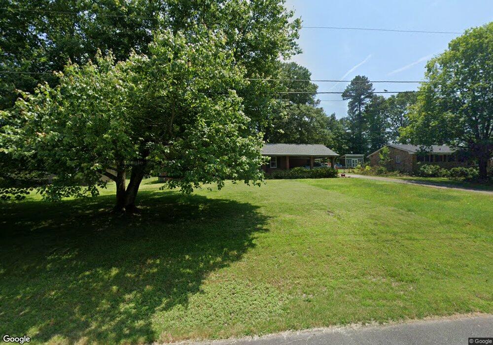
252 Lendon Ln Lawrenceville, GA 30043
Estimated Value: $277,000 - $346,000
3
Beds
3
Baths
1,800
Sq Ft
$177/Sq Ft
Est. Value
About This Home
This home is located at 252 Lendon Ln, Lawrenceville, GA 30043 and is currently estimated at $317,893, approximately $176 per square foot. 252 Lendon Ln is a home located in Gwinnett County with nearby schools including Taylor Elementary School, Creekland Middle School, and Collins Hill High School.
Ownership History
Date
Name
Owned For
Owner Type
Purchase Details
Closed on
Sep 13, 2006
Sold by
Butler Evelyn D
Bought by
Kiel Gary and Kiel Lisa
Current Estimated Value
Home Financials for this Owner
Home Financials are based on the most recent Mortgage that was taken out on this home.
Original Mortgage
$108,000
Outstanding Balance
$64,326
Interest Rate
6.52%
Mortgage Type
New Conventional
Estimated Equity
$253,567
Purchase Details
Closed on
Feb 17, 1999
Sold by
Williams Faye B and Williams Annie M
Bought by
Butler Evelyn D
Create a Home Valuation Report for This Property
The Home Valuation Report is an in-depth analysis detailing your home's value as well as a comparison with similar homes in the area
Home Values in the Area
Average Home Value in this Area
Purchase History
| Date | Buyer | Sale Price | Title Company |
|---|---|---|---|
| Kiel Gary | $135,000 | -- | |
| Butler Evelyn D | -- | -- |
Source: Public Records
Mortgage History
| Date | Status | Borrower | Loan Amount |
|---|---|---|---|
| Open | Kiel Gary | $108,000 |
Source: Public Records
Tax History Compared to Growth
Tax History
| Year | Tax Paid | Tax Assessment Tax Assessment Total Assessment is a certain percentage of the fair market value that is determined by local assessors to be the total taxable value of land and additions on the property. | Land | Improvement |
|---|---|---|---|---|
| 2024 | $3,525 | $120,440 | $26,000 | $94,440 |
| 2023 | $3,525 | $121,800 | $22,400 | $99,400 |
| 2022 | $3,097 | $101,520 | $22,400 | $79,120 |
| 2021 | $2,396 | $56,080 | $10,000 | $46,080 |
| 2020 | $2,407 | $56,080 | $10,000 | $46,080 |
| 2019 | $2,322 | $56,080 | $10,000 | $46,080 |
| 2018 | $2,319 | $56,080 | $10,000 | $46,080 |
| 2016 | $2,337 | $56,080 | $10,000 | $46,080 |
| 2015 | $2,038 | $47,000 | $10,000 | $37,000 |
| 2014 | $1,984 | $45,200 | $10,000 | $35,200 |
Source: Public Records
Map
Nearby Homes
- 1825 Villageside Ct
- 937 Sonny Boy Ln Unit 1
- Bryson Plan at River Walk Place
- Brooks Plan at River Walk Place
- 662 Sunstone Ln
- 660 Sunstone Ln
- 664 Sunstone Ln
- 658 Sunstone Ln
- 687 Sunstone Ln
- 693 Sunstone Ln
- 689 Sunstone Ln
- 695 Sunstone Ln
- 951 Northside Dr
- 699 Sunstone Ln
- 531 Shyrewood Dr
- 1201 Brook Knoll Place
- 509 Woodland Ln
- 1230 Rivershyre Pkwy
- 221 Larkshyre Trail
- 154 Waterloch Ct
- 242 Lendon Ln
- 262 Lendon Ln
- 268 Lendon Ln
- 238 Lendon Ln
- 0 Lendon Ln Unit 7396252
- 0 Lendon Ln Unit 7321519
- 0 Lendon Ln Unit 8365818
- 0 Lendon Ln Unit 8349067
- 0 Lendon Ln Unit 8338222
- 0 Lendon Ln Unit 3210717
- 0 Lendon Ln Unit 7591275
- 0 Lendon Ln Unit 3093573
- 0 Lendon Ln Unit 7018887
- 0 Lendon Ln Unit 8930576
- 0 Lendon Ln Unit 8930337
- 0 Lendon Ln Unit 8867486
- 0 Lendon Ln Unit 8841191
- 0 Lendon Ln Unit 9068754
- 0 Lendon Ln Unit 8995877
- 0 Lendon Ln Unit 8947270