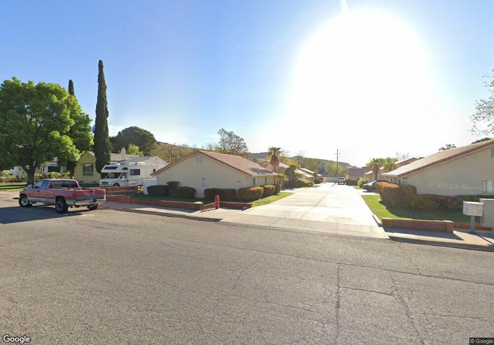
252 N 400 W Unit 7 Saint George, UT 84770
Estimated Value: $299,000 - $459,000
2
Beds
2
Baths
1,182
Sq Ft
$293/Sq Ft
Est. Value
About This Home
This home is located at 252 N 400 W Unit 7, Saint George, UT 84770 and is currently estimated at $345,898, approximately $292 per square foot. 252 N 400 W Unit 7 is a home located in Washington County with nearby schools including Heritage School, Dixie Middle School, and Dixie Intermediate School.
Ownership History
Date
Name
Owned For
Owner Type
Purchase Details
Closed on
Dec 1, 2020
Sold by
Cluer Christopher Ian and Thompson Anita Louise
Bought by
Graff Louis B and Graff Mary E
Current Estimated Value
Purchase Details
Closed on
Aug 26, 2010
Sold by
Thompson Allan D
Bought by
Thompson Allan D and Thompson Anita L
Purchase Details
Closed on
Jun 10, 2010
Sold by
Boling Royston A
Bought by
Shaw Nathan
Purchase Details
Closed on
Apr 26, 2007
Sold by
Masterson Daniel Jackson
Bought by
Boling Royston A
Home Financials for this Owner
Home Financials are based on the most recent Mortgage that was taken out on this home.
Original Mortgage
$161,000
Interest Rate
6.11%
Mortgage Type
Purchase Money Mortgage
Create a Home Valuation Report for This Property
The Home Valuation Report is an in-depth analysis detailing your home's value as well as a comparison with similar homes in the area
Home Values in the Area
Average Home Value in this Area
Purchase History
| Date | Buyer | Sale Price | Title Company |
|---|---|---|---|
| Graff Louis B | -- | Southern Utah Title Co | |
| Thompson Allan D | -- | Accommodation | |
| Thompson Allan D | -- | Southern Utah Title | |
| Shaw Nathan | $81,500 | None Available | |
| Boling Royston A | -- | Southern Utah Title Co |
Source: Public Records
Mortgage History
| Date | Status | Borrower | Loan Amount |
|---|---|---|---|
| Previous Owner | Boling Royston A | $161,000 |
Source: Public Records
Tax History Compared to Growth
Tax History
| Year | Tax Paid | Tax Assessment Tax Assessment Total Assessment is a certain percentage of the fair market value that is determined by local assessors to be the total taxable value of land and additions on the property. | Land | Improvement |
|---|---|---|---|---|
| 2025 | $1,083 | $161,755 | $38,500 | $123,255 |
| 2023 | $1,147 | $171,380 | $38,500 | $132,880 |
| 2022 | $1,148 | $161,315 | $33,000 | $128,315 |
| 2021 | $1,060 | $222,200 | $45,000 | $177,200 |
| 2020 | $0 | $195,000 | $45,000 | $150,000 |
| 2019 | $909 | $175,300 | $45,000 | $130,300 |
| 2018 | $886 | $85,635 | $0 | $0 |
| 2017 | $744 | $71,885 | $0 | $0 |
| 2016 | $727 | $65,010 | $0 | $0 |
| 2015 | $354 | $60,665 | $0 | $0 |
| 2014 | $337 | $58,135 | $0 | $0 |
Source: Public Records
Map
Nearby Homes
- 578 S Cecita Way
- 590 S Cecita Way
- 454 W 400 N
- 485 N 400 W
- 571 W 15 Cir N
- 301 N Donlee Dr
- 311 N Donlee Dr
- 485 Diagonal St Unit 11
- 461 Diagonal St
- 250 S Donlee Dr Unit J
- 250 S Donlee Dr
- 663 W 65 S
- 132 S 200 W
- 358 W 200 S
- 550 W 600 N Unit 9
- 135 S 100 St W
- 468 Ridgeview Dr
- 453 Northridge Ave
- 270 S Donlee Dr Unit 5
- 567 Ridgeview Dr
- 252 N 400 W Unit 9
- 252 N 400 W Unit 8
- 252 N 400 W Unit 6
- 252 N 400 W Unit 5
- 252 N 400 W Unit 4
- 252 N 400 W Unit 3
- 252 N 400 W Unit 2
- 252 N 400 W Unit 10
- 252 N 400 W Unit 1
- 252 N 400 W
- 230 N 400 W
- 364 W 200 N
- 382 W 200 N
- 252 N 400 4
- 242 N 400 W
- 398 W 200 N
- 350 W 200 N
- 365 W 300 N
- 268 N 400 W
- 330 W 200 N