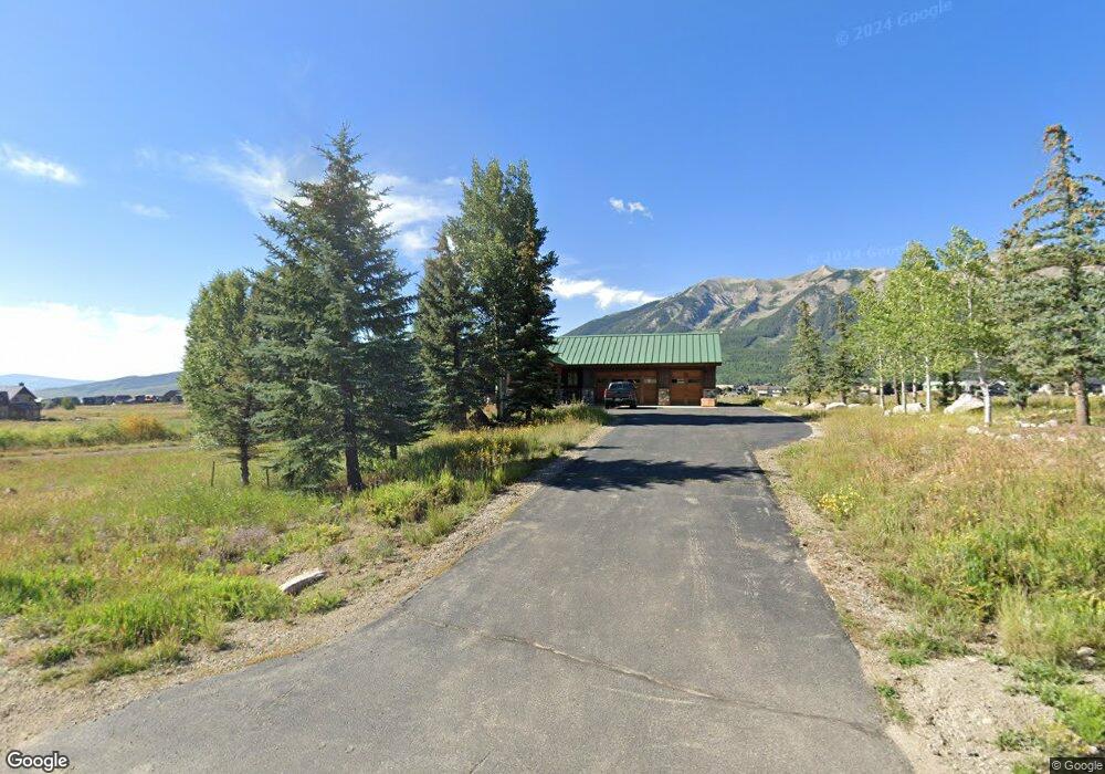
252 N Avion Dr Unit Lot 10, Buckhorn Crested Butte, CO 81224
Estimated Value: $2,819,000 - $3,639,345
5
Beds
5
Baths
2,259
Sq Ft
$1,404/Sq Ft
Est. Value
About This Home
This home is located at 252 N Avion Dr Unit Lot 10, Buckhorn, Crested Butte, CO 81224 and is currently estimated at $3,172,086, approximately $1,404 per square foot. 252 N Avion Dr Unit Lot 10, Buckhorn is a home located in Gunnison County with nearby schools including Gunnison Elementary School, Crested Butte Community School, and Gunnison Middle School.
Ownership History
Date
Name
Owned For
Owner Type
Purchase Details
Closed on
Aug 28, 2023
Sold by
Kaslo Starr Wayt
Bought by
M Kalso Llc
Current Estimated Value
Purchase Details
Closed on
Aug 18, 2022
Sold by
1955 Ers Trust
Bought by
Starrett Andre V
Purchase Details
Closed on
Mar 28, 2013
Sold by
Wiesner Edward P and Wiesner Janet K
Bought by
Seibold Scott
Home Financials for this Owner
Home Financials are based on the most recent Mortgage that was taken out on this home.
Original Mortgage
$396,750
Interest Rate
3.56%
Mortgage Type
Credit Line Revolving
Purchase Details
Closed on
Jun 15, 1994
Create a Home Valuation Report for This Property
The Home Valuation Report is an in-depth analysis detailing your home's value as well as a comparison with similar homes in the area
Home Values in the Area
Average Home Value in this Area
Purchase History
| Date | Buyer | Sale Price | Title Company |
|---|---|---|---|
| M Kalso Llc | $75,000 | None Listed On Document | |
| Starrett Andre V | $3,175,000 | -- | |
| Seibold Scott | $1,085,000 | None Available | |
| -- | $140,000 | -- |
Source: Public Records
Mortgage History
| Date | Status | Borrower | Loan Amount |
|---|---|---|---|
| Previous Owner | Seibold Scott | $396,750 | |
| Previous Owner | Seibold Scott | $417,000 |
Source: Public Records
Tax History Compared to Growth
Tax History
| Year | Tax Paid | Tax Assessment Tax Assessment Total Assessment is a certain percentage of the fair market value that is determined by local assessors to be the total taxable value of land and additions on the property. | Land | Improvement |
|---|---|---|---|---|
| 2024 | $11,750 | $194,130 | $50,040 | $144,090 |
| 2023 | $11,750 | $190,450 | $49,090 | $141,360 |
| 2022 | $6,368 | $91,150 | $11,180 | $79,970 |
| 2021 | $5,670 | $93,770 | $11,500 | $82,270 |
| 2020 | $4,209 | $70,360 | $10,120 | $60,240 |
| 2019 | $4,127 | $70,360 | $10,120 | $60,240 |
| 2018 | $4,011 | $65,470 | $11,880 | $53,590 |
| 2017 | $4,049 | $65,470 | $11,880 | $53,590 |
| 2016 | $3,739 | $64,200 | $9,870 | $54,330 |
| 2015 | $1,736 | $64,200 | $9,870 | $54,330 |
| 2014 | $1,736 | $57,220 | $10,090 | $47,130 |
Source: Public Records
Map
Nearby Homes
- 204 N Avion Dr
- 14 Buckhorn Way
- 42 Earhart Ln
- 163 N Avion Dr
- 255 S Avion Dr
- 231 S Avion Dr
- 333 S Avion Dr
- 379 S Avion Dr
- 44 County Road 738a Brush Creek Rd
- 64 Buckhorn Way
- 49 White Stallion Cir
- 527 S Avion Dr
- 214 S Avion Dr Unit 102 Bavarian Bu
- 214 Elk Valley Rd
- 103 Buckhorn Way
- 441 White Stallion Cir
- 83 White Stallion Cir
- 554 White Stallion Cir
- 528 White Stallion Cir
- 77 S Avion Dr
- 252 N Avion Dr
- 15 Earhart Ln
- 292 N Avion Dr
- 33 Earhart Ln
- 0 Earhart Ln Unit 762884
- 0 Earhart Ln Unit 746849
- 0 Earhart Ln Unit 726444
- 0 Earhart Ln Unit 731100
- 0 Earhart Ln Unit Lot 7, Buckhorn Ranc
- 0 Earhart Ln Unit 9783
- 0 Earhart Ln Unit 12060
- 0 Earhart Ln Unit 12098
- 0 Earhart Ln Unit 13288
- 0 Earhart Ln Unit 720540
- 0 Earhart Ln Unit 727536
- 0 Earhart Ln Unit 729036
- 38 Earhart Ln
- 42 Earhart Ln Unit Lot 7, Buckhorn Ranc
- 15 Buckhorn Way
- 312 N Avion Dr