252 Newport Dr Unit 413 Mount Gilead, NC 27306
Estimated Value: $255,000 - $365,000
2
Beds
2
Baths
1,777
Sq Ft
$178/Sq Ft
Est. Value
About This Home
This home is located at 252 Newport Dr Unit 413, Mount Gilead, NC 27306 and is currently estimated at $316,754, approximately $178 per square foot. 252 Newport Dr Unit 413 is a home located in Montgomery County with nearby schools including Mount Gilead Elementary School and West Middle School.
Ownership History
Date
Name
Owned For
Owner Type
Purchase Details
Closed on
May 15, 2024
Sold by
Viggiano Jennifer and Viggiano Michael J
Bought by
Cleaver Matthew and Cleaver Holt
Current Estimated Value
Purchase Details
Closed on
Jul 29, 2022
Sold by
Berman Richard E and Berman Bambi B
Bought by
Berman Richard E
Home Financials for this Owner
Home Financials are based on the most recent Mortgage that was taken out on this home.
Original Mortgage
$160,000
Interest Rate
5.7%
Mortgage Type
Balloon
Purchase Details
Closed on
Aug 1, 2002
Bought by
Berman Richard E and Berman Bambi B
Create a Home Valuation Report for This Property
The Home Valuation Report is an in-depth analysis detailing your home's value as well as a comparison with similar homes in the area
Home Values in the Area
Average Home Value in this Area
Purchase History
| Date | Buyer | Sale Price | Title Company |
|---|---|---|---|
| Cleaver Matthew | $268,000 | None Listed On Document | |
| Berman Richard E | -- | Rosenberg Jay A | |
| Berman Richard E | -- | None Listed On Document | |
| Berman Richard E | $125,000 | -- |
Source: Public Records
Mortgage History
| Date | Status | Borrower | Loan Amount |
|---|---|---|---|
| Previous Owner | Berman Richard E | $160,000 |
Source: Public Records
Tax History Compared to Growth
Tax History
| Year | Tax Paid | Tax Assessment Tax Assessment Total Assessment is a certain percentage of the fair market value that is determined by local assessors to be the total taxable value of land and additions on the property. | Land | Improvement |
|---|---|---|---|---|
| 2025 | $1,288 | $196,661 | $17,600 | $179,061 |
| 2024 | $1,288 | $196,661 | $17,600 | $179,061 |
| 2023 | $993 | $196,661 | $17,600 | $179,061 |
| 2022 | $993 | $196,661 | $17,600 | $179,061 |
| 2021 | $993 | $196,661 | $17,600 | $179,061 |
| 2020 | $1,288 | $196,661 | $17,600 | $179,061 |
| 2018 | $1,304 | $197,600 | $6,000 | $191,600 |
| 2017 | $1,304 | $197,600 | $6,000 | $191,600 |
| 2016 | $1,304 | $197,600 | $6,000 | $191,600 |
| 2015 | $1,205 | $197,600 | $0 | $0 |
| 2014 | $1,205 | $197,622 | $0 | $0 |
Source: Public Records
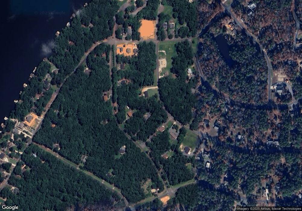
Map
Nearby Homes
- 0 Woodrun Dr Unit CAR4263452
- 754 Woodrun Dr
- 210 Newport Dr
- 158 Pioneer Dr
- 248 Pioneer Dr
- 338 Fairfield Ct
- 188 Delwood Ct
- 623 Roxboro Dr
- 1923 Fairfield Rd
- 1025 Fairfield Rd
- 242 Creswell Rd
- 204 Millwheel Ln
- 235 Millwheel Ln
- 129 Conestoga Ct
- 589 Newport Dr
- 105 Red Oak Ct
- 237 Roxboro Dr
- 24756 Strand Dr
- 50444 Haven Bend Rd
- 136 Rockwell Ct
- 258 Newport Dr
- 242 Newport Dr
- 264 Newport Dr
- 778 Woodrun Dr
- 760 Woodrun Dr
- 230 Newport Dr
- 225 Newport Dr Unit 487 & 488
- 272 Newport Dr Unit 416
- 272 Newport Dr
- 272 Newport Dr Unit 416,391,392
- 231 Newport Dr
- 224 Newport Dr
- 812 Woodrun Dr Unit 400
- 275 Newport Dr Unit 481&482
- 138 Pioneer Dr
- 138 Pioneer Dr Unit 967 (&966/483/484)
- 278 Newport Dr
- 816 Woodrun Dr
- 216 Newport Dr
- 219 Newport Dr Unit 488 & 487