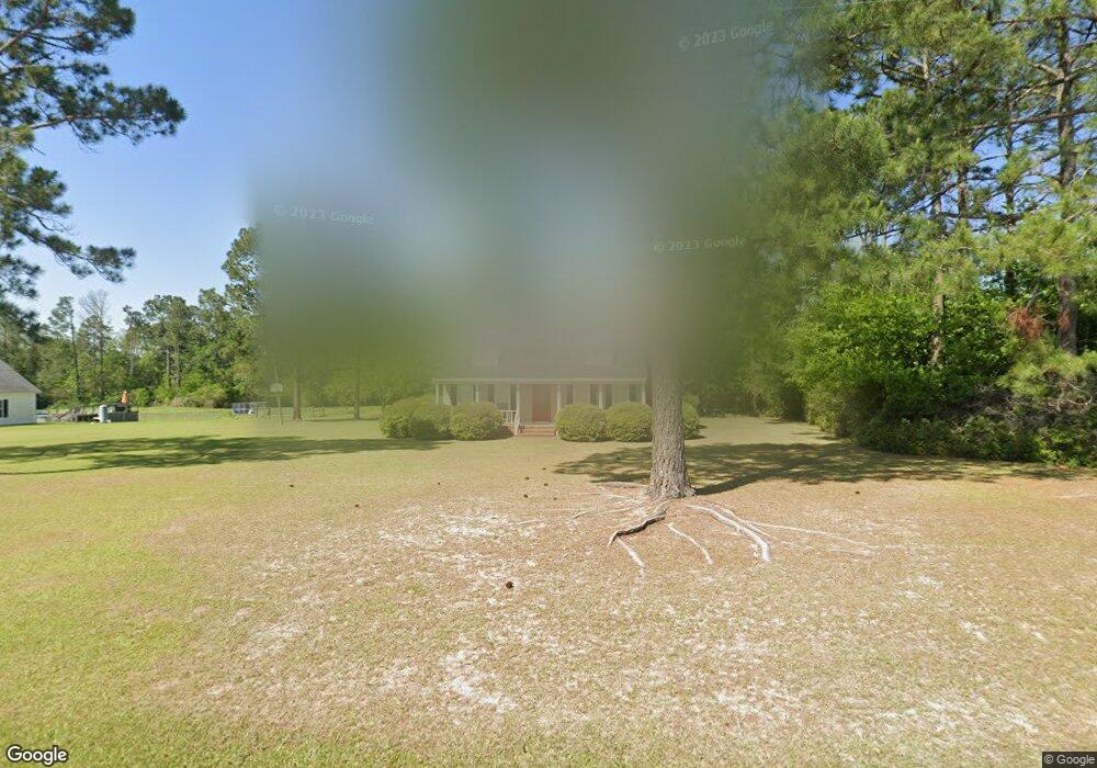
252 Nutt Rd Sylvester, GA 31791
Estimated Value: $243,000 - $267,000
3
Beds
2
Baths
1,800
Sq Ft
$142/Sq Ft
Est. Value
About This Home
This home is located at 252 Nutt Rd, Sylvester, GA 31791 and is currently estimated at $255,678, approximately $142 per square foot. 252 Nutt Rd is a home located in Worth County with nearby schools including Worth County Primary School, Worth County Elementary School, and Worth County Middle School.
Ownership History
Date
Name
Owned For
Owner Type
Purchase Details
Closed on
Mar 29, 2007
Sold by
Yesbick Wayne H
Bought by
Barnes Terry W
Current Estimated Value
Home Financials for this Owner
Home Financials are based on the most recent Mortgage that was taken out on this home.
Original Mortgage
$144,900
Outstanding Balance
$87,610
Interest Rate
6.15%
Mortgage Type
New Conventional
Estimated Equity
$168,068
Purchase Details
Closed on
Jan 30, 2007
Sold by
Mercer Veronica F
Bought by
Yesbick Wayne H
Home Financials for this Owner
Home Financials are based on the most recent Mortgage that was taken out on this home.
Original Mortgage
$144,900
Outstanding Balance
$87,610
Interest Rate
6.15%
Mortgage Type
New Conventional
Estimated Equity
$168,068
Purchase Details
Closed on
Apr 1, 1980
Sold by
Palmer Andrew
Bought by
Palmer Andrew
Create a Home Valuation Report for This Property
The Home Valuation Report is an in-depth analysis detailing your home's value as well as a comparison with similar homes in the area
Home Values in the Area
Average Home Value in this Area
Purchase History
| Date | Buyer | Sale Price | Title Company |
|---|---|---|---|
| Barnes Terry W | $161,000 | -- | |
| Yesbick Wayne H | $129,900 | -- | |
| Palmer Andrew | -- | -- |
Source: Public Records
Mortgage History
| Date | Status | Borrower | Loan Amount |
|---|---|---|---|
| Open | Barnes Terry W | $144,900 | |
| Closed | Yesbick Wayne H | $0 |
Source: Public Records
Tax History Compared to Growth
Tax History
| Year | Tax Paid | Tax Assessment Tax Assessment Total Assessment is a certain percentage of the fair market value that is determined by local assessors to be the total taxable value of land and additions on the property. | Land | Improvement |
|---|---|---|---|---|
| 2024 | $1,719 | $50,935 | $6,259 | $44,676 |
| 2023 | $1,719 | $52,585 | $6,259 | $46,326 |
| 2022 | $1,767 | $52,585 | $6,259 | $46,326 |
| 2021 | $1,744 | $52,585 | $6,259 | $46,326 |
| 2020 | $1,747 | $52,585 | $6,259 | $46,326 |
| 2019 | $1,747 | $52,585 | $6,259 | $46,326 |
| 2018 | $1,507 | $52,585 | $6,259 | $46,326 |
| 2017 | $1,507 | $52,585 | $6,259 | $46,326 |
| 2016 | $1,507 | $52,585 | $6,259 | $46,326 |
| 2015 | $1,509 | $52,585 | $6,259 | $46,326 |
| 2014 | $1,509 | $52,585 | $6,259 | $46,326 |
| 2013 | -- | $51,634 | $5,309 | $46,326 |
| 2012 | -- | $51,634 | $5,308 | $46,325 |
Source: Public Records
Map
Nearby Homes
- 702 New Bethel Church Rd
- 710 S Jefferson St
- Lots 4&5 S Monroe St
- 000 S Jefferson St
- 000 S Jefferson St
- 914 Douthit Rd
- 602 S Livingston St
- 302 Sadler St
- 314 E Hobson St
- 307 E Hobson St
- 107 Gardner Rd
- 103 N Ayers St
- 2329 Evergreen Rd
- 201 Worthwood Rd
- 203 W Pope St
- 101 Pecan St
- 19X Largemouth Dr
- 000 Georgia 256
- 307 E Pope St
- 101 N McPhaul St
- 240 Nutt Rd
- 264 Nutt Rd
- 763 York Rd
- 228 Nutt Rd
- 759 York Rd
- 803 York Rd
- 742 York Rd
- 201 Nutt Rd
- 702 York Rd
- 2707 Ga Highway 112 S
- 2119 Massey Airport Rd
- 106 Lambert Ln
- 2525 Us Highway 82 W
- 2149 Massey Airport Rd
- 932 York Rd
- 2155 Massey Airport Rd
- 111 Lambert Ln
- 137 Lambert Ln
- 299 Gunter Rd
- 0 Lambert Ln