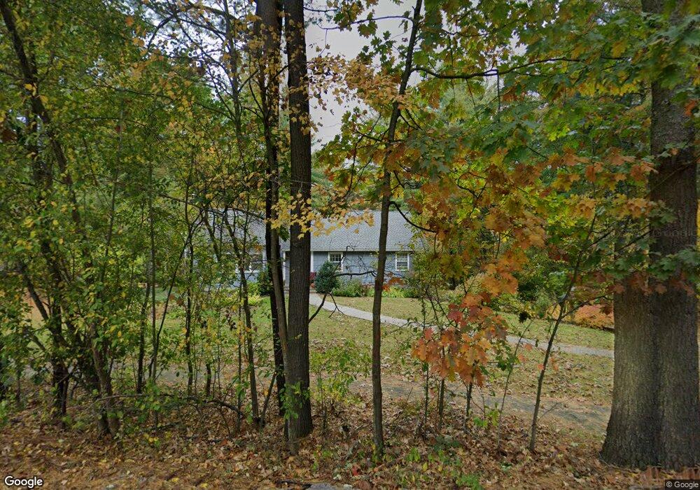
252 Old Lancaster Rd Sudbury, MA 01776
Estimated Value: $873,000 - $1,249,000
3
Beds
2
Baths
1,446
Sq Ft
$670/Sq Ft
Est. Value
About This Home
This home is located at 252 Old Lancaster Rd, Sudbury, MA 01776 and is currently estimated at $968,836, approximately $670 per square foot. 252 Old Lancaster Rd is a home located in Middlesex County with nearby schools including Peter Noyes Elementary School, Ephraim Curtis Middle School, and Lincoln-Sudbury Regional High School.
Ownership History
Date
Name
Owned For
Owner Type
Purchase Details
Closed on
May 22, 1997
Sold by
Black William A and Black Dawnmarie
Bought by
Weltman Roy S and Shik-Weltman Helen
Current Estimated Value
Home Financials for this Owner
Home Financials are based on the most recent Mortgage that was taken out on this home.
Original Mortgage
$254,250
Interest Rate
8.08%
Mortgage Type
Purchase Money Mortgage
Purchase Details
Closed on
Mar 15, 1994
Sold by
Howell Joan L
Bought by
Black William A and Eckenrode Dawnmarie
Create a Home Valuation Report for This Property
The Home Valuation Report is an in-depth analysis detailing your home's value as well as a comparison with similar homes in the area
Home Values in the Area
Average Home Value in this Area
Purchase History
| Date | Buyer | Sale Price | Title Company |
|---|---|---|---|
| Weltman Roy S | $282,500 | -- | |
| Black William A | $230,000 | -- |
Source: Public Records
Mortgage History
| Date | Status | Borrower | Loan Amount |
|---|---|---|---|
| Open | Black William A | $260,600 | |
| Closed | Black William A | $275,000 | |
| Closed | Black William A | $227,000 | |
| Closed | Black William A | $254,250 |
Source: Public Records
Tax History Compared to Growth
Tax History
| Year | Tax Paid | Tax Assessment Tax Assessment Total Assessment is a certain percentage of the fair market value that is determined by local assessors to be the total taxable value of land and additions on the property. | Land | Improvement |
|---|---|---|---|---|
| 2025 | $11,147 | $761,400 | $439,000 | $322,400 |
| 2024 | $10,770 | $737,200 | $426,200 | $311,000 |
| 2023 | $10,998 | $697,400 | $394,600 | $302,800 |
| 2022 | $10,714 | $593,600 | $362,200 | $231,400 |
| 2021 | $10,437 | $554,300 | $362,200 | $192,100 |
| 2020 | $7,853 | $554,300 | $362,200 | $192,100 |
| 2019 | $9,928 | $554,300 | $362,200 | $192,100 |
| 2018 | $7,202 | $565,900 | $386,200 | $179,700 |
| 2017 | $9,514 | $536,300 | $367,400 | $168,900 |
| 2016 | $9,171 | $515,200 | $353,400 | $161,800 |
| 2015 | $8,557 | $486,200 | $326,200 | $160,000 |
| 2014 | $8,530 | $473,100 | $316,600 | $156,500 |
Source: Public Records
Map
Nearby Homes
- 270 Old Lancaster Rd
- 89 Bridle Path
- 36 Concord Rd
- 23 Massasoit Ave
- 24 Goodnow Rd
- 1011 Boston Post Rd
- 7 Saddle Ridge Rd
- 94 Goodmans Hill Rd
- 30 Rolling Ln
- 427 Concord Rd
- 36 Old Forge Ln
- 12 Hickory Rd
- 24 Woodland Rd
- 0 Robbins Rd
- 7 Adams Rd
- 54 Stone Rd
- 128 Nobscot Rd
- 21 Summer St
- 216 Landham Rd
- 4 Elderberry Cir
- 258 Old Lancaster Rd
- 244 Old Lancaster Rd
- 259 Old Lancaster Rd
- 247 Old Lancaster Rd
- 239 Old Lancaster Rd
- 238 Old Lancaster Rd
- 248 Old Lancaster Rd
- 16 Pineridge Rd
- 9 Gerry Dr
- 22 Pineridge Rd
- 9 Brownstone Ln
- 19 Brownstone Ln
- 236 Old Lancaster Rd
- 8 Pineridge Rd
- 233 Old Lancaster Rd
- 286 Old Lancaster Rd
- 14 Gerry Dr
- 15 Pineridge Rd
- 226 Old Lancaster Rd
- 21 Pineridge Rd