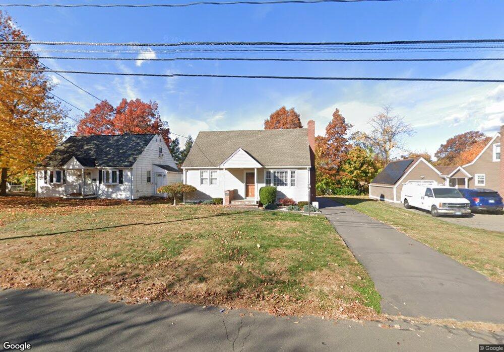
252 Pershing Ave New Britain, CT 06053
Estimated Value: $249,000 - $298,135
3
Beds
2
Baths
1,152
Sq Ft
$244/Sq Ft
Est. Value
About This Home
This home is located at 252 Pershing Ave, New Britain, CT 06053 and is currently estimated at $280,784, approximately $243 per square foot. 252 Pershing Ave is a home located in Hartford County with nearby schools including Gaffney School and Slade Middle School.
Ownership History
Date
Name
Owned For
Owner Type
Purchase Details
Closed on
Jul 29, 2010
Sold by
Osakowicz Gail
Bought by
Osakowicz Derek
Current Estimated Value
Home Financials for this Owner
Home Financials are based on the most recent Mortgage that was taken out on this home.
Original Mortgage
$45,000
Outstanding Balance
$30,108
Interest Rate
4.78%
Estimated Equity
$250,676
Create a Home Valuation Report for This Property
The Home Valuation Report is an in-depth analysis detailing your home's value as well as a comparison with similar homes in the area
Home Values in the Area
Average Home Value in this Area
Purchase History
| Date | Buyer | Sale Price | Title Company |
|---|---|---|---|
| Osakowicz Derek | $120,000 | -- |
Source: Public Records
Mortgage History
| Date | Status | Borrower | Loan Amount |
|---|---|---|---|
| Open | Osakowicz Derek | $45,000 |
Source: Public Records
Tax History
| Year | Tax Paid | Tax Assessment Tax Assessment Total Assessment is a certain percentage of the fair market value that is determined by local assessors to be the total taxable value of land and additions on the property. | Land | Improvement |
|---|---|---|---|---|
| 2025 | $5,578 | $142,380 | $52,500 | $89,880 |
| 2024 | $5,637 | $142,380 | $52,500 | $89,880 |
| 2023 | $5,450 | $142,380 | $52,500 | $89,880 |
| 2022 | $4,681 | $94,570 | $24,220 | $70,350 |
| 2021 | $4,681 | $94,570 | $24,220 | $70,350 |
| 2020 | $4,776 | $94,570 | $24,220 | $70,350 |
| 2019 | $4,776 | $94,570 | $24,220 | $70,350 |
| 2018 | $4,776 | $94,570 | $24,220 | $70,350 |
| 2017 | $4,182 | $82,810 | $20,160 | $62,650 |
| 2016 | $4,182 | $82,810 | $20,160 | $62,650 |
| 2015 | $4,058 | $82,810 | $20,160 | $62,650 |
| 2014 | $4,058 | $82,810 | $20,160 | $62,650 |
Source: Public Records
Map
Nearby Homes
- 248 Pershing Ave
- 262 Pershing Ave
- 63 Rome St
- 55 Rome St
- 234 Pershing Ave
- 71 Rome St
- 266 Pershing Ave
- 255 Pershing Ave
- 245 Pershing Ave
- 43 Rome St
- 265 Pershing Ave
- 226 Pershing Ave
- 235 Pershing Ave
- 276 Pershing Ave
- 83 Rome St
- 37 Rome St
- 271 Pershing Ave
- 222 Pershing Ave
- 229 Pershing Ave
- 163 Maplehurst Ave
Your Personal Tour Guide
Ask me questions while you tour the home.