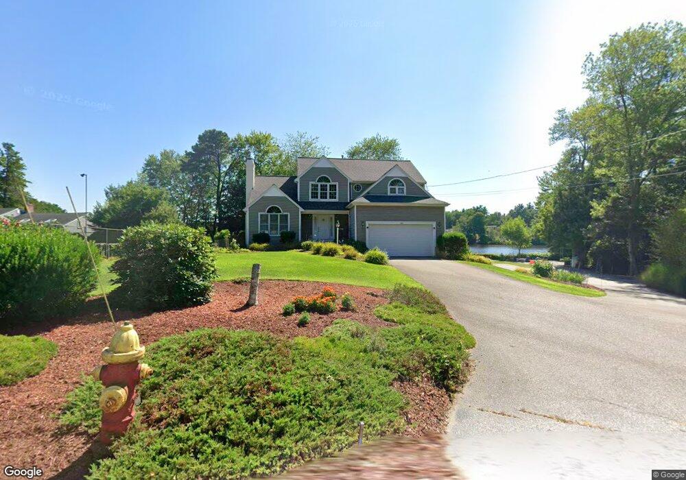
252 Plain St Mansfield, MA 02048
Estimated Value: $782,001 - $857,000
3
Beds
2
Baths
2,426
Sq Ft
$333/Sq Ft
Est. Value
About This Home
This home is located at 252 Plain St, Mansfield, MA 02048 and is currently estimated at $808,000, approximately $333 per square foot. 252 Plain St is a home located in Bristol County with nearby schools including Everett W. Robinson Elementary School, Jordan/Jackson Elementary School, and Harold L. Qualters Middle School.
Ownership History
Date
Name
Owned For
Owner Type
Purchase Details
Closed on
Feb 18, 2014
Sold by
Yee Warren and Yee Kingcho S
Bought by
Warren Yee Ret
Current Estimated Value
Purchase Details
Closed on
Jul 31, 2001
Sold by
Brennan Robert H and Johnson Madeline M
Bought by
Yee Warren and Yee Kinchu So
Home Financials for this Owner
Home Financials are based on the most recent Mortgage that was taken out on this home.
Original Mortgage
$160,000
Interest Rate
7.18%
Mortgage Type
Purchase Money Mortgage
Purchase Details
Closed on
Apr 12, 1995
Sold by
Baybanks Mtg Corp
Bought by
Brennan Robert H and Brennan Madeline M
Create a Home Valuation Report for This Property
The Home Valuation Report is an in-depth analysis detailing your home's value as well as a comparison with similar homes in the area
Home Values in the Area
Average Home Value in this Area
Purchase History
| Date | Buyer | Sale Price | Title Company |
|---|---|---|---|
| Warren Yee Ret | -- | -- | |
| Yee Warren | $468,000 | -- | |
| Brennan Robert H | $60,500 | -- |
Source: Public Records
Mortgage History
| Date | Status | Borrower | Loan Amount |
|---|---|---|---|
| Previous Owner | Brennan Robert H | $300,700 | |
| Previous Owner | Brennan Robert H | $160,000 | |
| Previous Owner | Brennan Robert H | $50,000 |
Source: Public Records
Tax History
| Year | Tax Paid | Tax Assessment Tax Assessment Total Assessment is a certain percentage of the fair market value that is determined by local assessors to be the total taxable value of land and additions on the property. | Land | Improvement |
|---|---|---|---|---|
| 2025 | $8,933 | $678,300 | $248,600 | $429,700 |
| 2024 | $8,641 | $640,100 | $248,600 | $391,500 |
| 2023 | $8,317 | $590,300 | $248,600 | $341,700 |
| 2022 | $7,981 | $526,100 | $230,100 | $296,000 |
| 2021 | $8,127 | $529,100 | $204,200 | $324,900 |
| 2020 | $7,993 | $520,400 | $204,200 | $316,200 |
| 2019 | $7,785 | $511,500 | $192,400 | $319,100 |
| 2018 | $6,349 | $487,500 | $174,200 | $313,300 |
| 2017 | $7,116 | $473,800 | $169,100 | $304,700 |
| 2016 | $7,052 | $457,600 | $169,500 | $288,100 |
| 2015 | $6,732 | $434,300 | $161,000 | $273,300 |
Source: Public Records
Map
Nearby Homes
- 24 Maverick Dr
- 25 Munroe Dr
- 25 Shepherd St
- 150 Gilbert St
- 84 Messenger St
- 9 Coach Rd
- 115 Westfield Dr
- 128 Tremont St
- 57 Vine St
- 17 Childs Ln
- 33 Colonial Way
- 14 Claire Ave
- 28 Messenger St
- Lot 5 Jeffrey Dr
- 40 Treasure Island Rd
- Lot 2 Jeffrey Dr
- 16 Treasure Island Rd
- 49 Pheasant Hill Rd
- 12 Houde St
- 46 Mirimichi St
Your Personal Tour Guide
Ask me questions while you tour the home.