252 Rock St Silverton, OR 97381
Estimated Value: $429,000 - $449,000
1
Bed
1
Bath
1,414
Sq Ft
$313/Sq Ft
Est. Value
About This Home
This home is located at 252 Rock St, Silverton, OR 97381 and is currently estimated at $442,495, approximately $312 per square foot. 252 Rock St is a home located in Marion County with nearby schools including Mark Twain Elementary School, Silverton Middle School, and Silverton High School.
Ownership History
Date
Name
Owned For
Owner Type
Purchase Details
Closed on
Mar 11, 2024
Sold by
Bradberry Christopher J
Bought by
Chris Bradberry Living Trust and Bradberry
Current Estimated Value
Purchase Details
Closed on
Sep 15, 2005
Sold by
Engdahl Sybil E
Bought by
Bradberry Christopher J
Home Financials for this Owner
Home Financials are based on the most recent Mortgage that was taken out on this home.
Original Mortgage
$104,000
Interest Rate
5.76%
Mortgage Type
Fannie Mae Freddie Mac
Create a Home Valuation Report for This Property
The Home Valuation Report is an in-depth analysis detailing your home's value as well as a comparison with similar homes in the area
Home Values in the Area
Average Home Value in this Area
Purchase History
| Date | Buyer | Sale Price | Title Company |
|---|---|---|---|
| Chris Bradberry Living Trust | -- | None Listed On Document | |
| Bradberry Christopher J | $175,000 | Ticor Title |
Source: Public Records
Mortgage History
| Date | Status | Borrower | Loan Amount |
|---|---|---|---|
| Previous Owner | Bradberry Christopher J | $104,000 |
Source: Public Records
Tax History
| Year | Tax Paid | Tax Assessment Tax Assessment Total Assessment is a certain percentage of the fair market value that is determined by local assessors to be the total taxable value of land and additions on the property. | Land | Improvement |
|---|---|---|---|---|
| 2025 | $3,191 | $198,340 | -- | -- |
| 2024 | $3,191 | $192,570 | -- | -- |
| 2023 | $3,109 | $186,970 | $0 | $0 |
| 2022 | $2,944 | $181,530 | $0 | $0 |
| 2021 | $2,865 | $176,250 | $0 | $0 |
| 2020 | $2,794 | $171,120 | $0 | $0 |
| 2019 | $2,712 | $166,140 | $0 | $0 |
| 2018 | $2,723 | $0 | $0 | $0 |
| 2017 | $2,661 | $0 | $0 | $0 |
| 2016 | $2,613 | $0 | $0 | $0 |
| 2015 | $2,588 | $0 | $0 | $0 |
| 2014 | $2,509 | $0 | $0 | $0 |
Source: Public Records
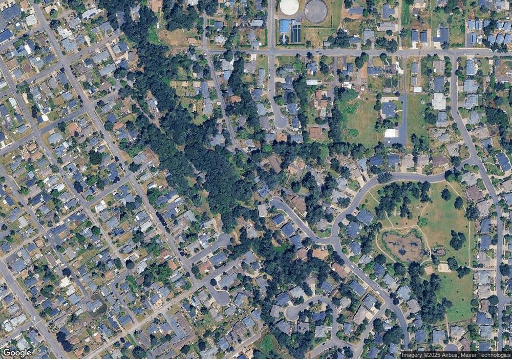
Map
Nearby Homes
Your Personal Tour Guide
Ask me questions while you tour the home.