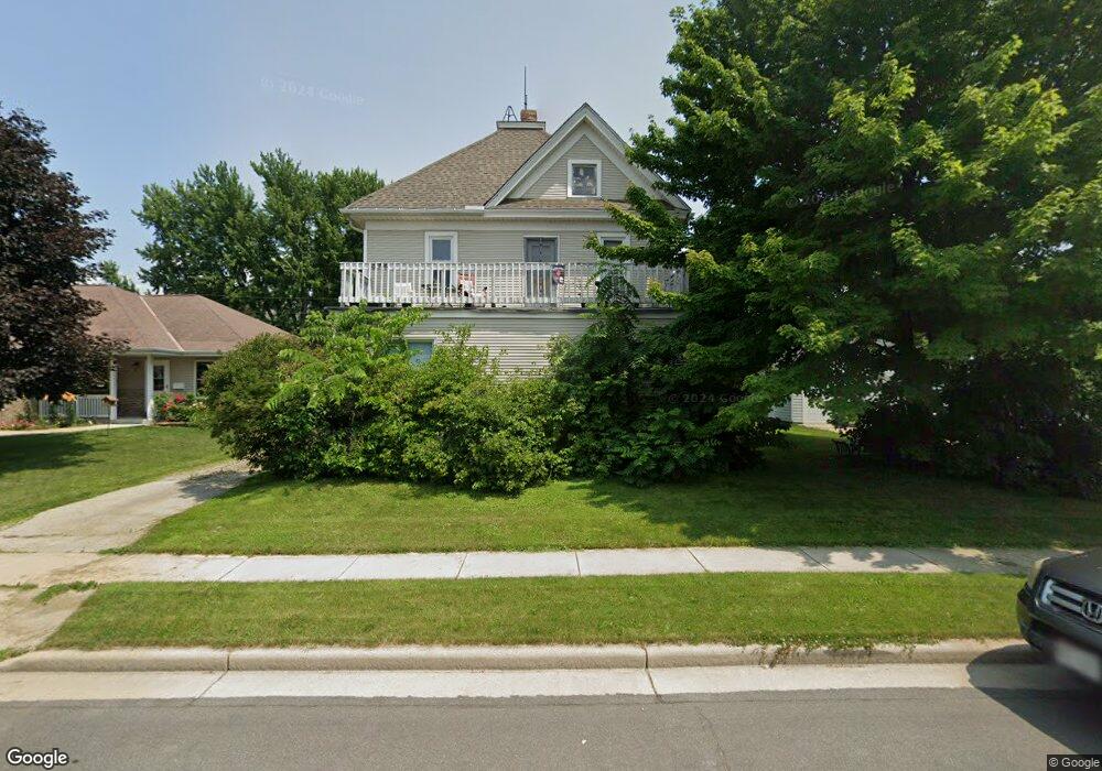
252 S Wales St Hustisford, WI 53034
Estimated Value: $210,000 - $311,000
--
Bed
--
Bath
--
Sq Ft
7,405
Sq Ft Lot
About This Home
This home is located at 252 S Wales St, Hustisford, WI 53034 and is currently estimated at $257,316. 252 S Wales St is a home with nearby schools including John Hustis Elementary School, Hustisford High School, and Bethany Lutheran School.
Ownership History
Date
Name
Owned For
Owner Type
Purchase Details
Closed on
Sep 18, 2015
Sold by
Robbins Mark W
Bought by
Prescher Kim M
Current Estimated Value
Purchase Details
Closed on
Oct 28, 2013
Sold by
Federal Home Loan Mortgage Corporation
Bought by
Prescher Kim M and Robbins Mark W
Purchase Details
Closed on
Jun 7, 2013
Sold by
Sobczak Beth L and Sobczak Beth
Bought by
Federal Home Loan Mortgage Corporation
Purchase Details
Closed on
Feb 23, 2011
Sold by
Sobczak Jack and Sobczak Beth
Bought by
Sobczak Beth
Create a Home Valuation Report for This Property
The Home Valuation Report is an in-depth analysis detailing your home's value as well as a comparison with similar homes in the area
Home Values in the Area
Average Home Value in this Area
Purchase History
| Date | Buyer | Sale Price | Title Company |
|---|---|---|---|
| Prescher Kim M | $35,000 | None Available | |
| Prescher Kim M | -- | None Available | |
| Federal Home Loan Mortgage Corporation | -- | None Available | |
| Sobczak Beth | -- | -- |
Source: Public Records
Tax History Compared to Growth
Tax History
| Year | Tax Paid | Tax Assessment Tax Assessment Total Assessment is a certain percentage of the fair market value that is determined by local assessors to be the total taxable value of land and additions on the property. | Land | Improvement |
|---|---|---|---|---|
| 2024 | $2,680 | $208,700 | $27,300 | $181,400 |
| 2023 | $2,660 | $113,500 | $20,200 | $93,300 |
| 2022 | $3,109 | $113,500 | $20,200 | $93,300 |
| 2021 | $3,183 | $113,500 | $20,200 | $93,300 |
| 2020 | $4,386 | $113,500 | $20,200 | $93,300 |
| 2019 | $3,858 | $113,500 | $20,200 | $93,300 |
| 2018 | $2,690 | $113,500 | $20,200 | $93,300 |
| 2017 | $3,026 | $113,500 | $20,200 | $93,300 |
| 2016 | $2,842 | $113,500 | $20,200 | $93,300 |
| 2015 | $2,824 | $113,500 | $20,200 | $93,300 |
| 2014 | $2,828 | $113,500 | $20,200 | $93,300 |
Source: Public Records
Map
Nearby Homes
- 244 S Ridge St
- .68 Acre Parcel Anthony Island
- 252 S Hustis St
- 441 Sandy Ln
- N4510 & N4504 Anthony Island
- N4510 Anthony Island -
- 727 E Lakeview Rd Unit 8
- N4569 Hazelwood Rd
- W4436 E Lakeview Rd
- 827 E Lakeview Rd
- N4557 Lakeview Rd
- N4554 Lakeview Rd
- N4973 Lake Dr
- Lt38 Sinissippi Point Rd
- N5025 Arrowhead Ct
- N4550 County Road Dj
- N3220 Hale Rd
- W2824 Fox Rd
- 000 Lt0 Sleepy Hollow Rd
- N5413 County Rd S
- 238 S Wales St
- 303 Anthony St
- 319 E Anthony St
- 249 Wales St
- 249 S Mill
- 249 Mill St
- 237 S Mill St Unit 239
- 221 Anthony St
- 227 S Wales St
- 327 E Anthony St
- 222 S Wales St
- 236 S Wales St
- 302 Wales St
- 328 E Griffith St
- 213 E Anthony St
- 250 S Ann St
- 226 E Anthony St
- 240 S Ann St
- 312 S Wales St
- 326 E Anthony St