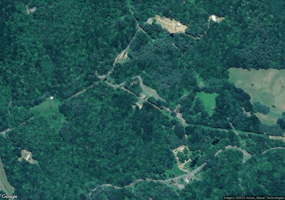
252 Stonegate Trace Lansing, NC 28643
Estimated Value: $345,222 - $434,000
Studio
--
Bath
1,580
Sq Ft
$251/Sq Ft
Est. Value
About This Home
This home is located at 252 Stonegate Trace, Lansing, NC 28643 and is currently estimated at $396,806, approximately $251 per square foot. 252 Stonegate Trace is a home with nearby schools including Ashe County High School.
Ownership History
Date
Name
Owned For
Owner Type
Purchase Details
Closed on
Jun 4, 2012
Sold by
Brown Steve W and Brown Jeanne C
Bought by
Barbouir Billy R and Barbouir Phyllis M
Current Estimated Value
Purchase Details
Closed on
Feb 11, 2008
Sold by
New River Development Group Llc
Bought by
Brown Steve W and Brown Jeanne C
Home Financials for this Owner
Home Financials are based on the most recent Mortgage that was taken out on this home.
Original Mortgage
$47,700
Interest Rate
6.06%
Mortgage Type
Future Advance Clause Open End Mortgage
Create a Home Valuation Report for This Property
The Home Valuation Report is an in-depth analysis detailing your home's value as well as a comparison with similar homes in the area
Home Values in the Area
Average Home Value in this Area
Purchase History
| Date | Buyer | Sale Price | Title Company |
|---|---|---|---|
| Barbouir Billy R | $38,000 | None Available | |
| Brown Steve W | $53,000 | -- |
Source: Public Records
Mortgage History
| Date | Status | Borrower | Loan Amount |
|---|---|---|---|
| Previous Owner | Brown Steve W | $47,700 |
Source: Public Records
Tax History Compared to Growth
Tax History
| Year | Tax Paid | Tax Assessment Tax Assessment Total Assessment is a certain percentage of the fair market value that is determined by local assessors to be the total taxable value of land and additions on the property. | Land | Improvement |
|---|---|---|---|---|
| 2025 | $1,678 | $320,300 | $30,000 | $290,300 |
| 2024 | $1,614 | $320,300 | $30,000 | $290,300 |
| 2023 | $1,614 | $320,300 | $30,000 | $290,300 |
| 2022 | $1,361 | $212,500 | $40,000 | $172,500 |
| 2021 | $1,361 | $212,500 | $40,000 | $172,500 |
| 2020 | $1,219 | $212,500 | $40,000 | $172,500 |
| 2019 | $1,195 | $212,500 | $40,000 | $172,500 |
| 2018 | $0 | $216,000 | $40,000 | $176,000 |
| 2016 | $1,152 | $216,000 | $40,000 | $176,000 |
| 2015 | -- | $216,000 | $40,000 | $176,000 |
| 2014 | -- | $221,700 | $40,000 | $181,700 |
Source: Public Records
Map
Nearby Homes
- 18103 N Carolina 194
- 262 River Landing Way
- TBD Mcneil Rd
- 410 River Dr
- 253 Bobby Rash Rd
- 972 W Deep Ford Rd
- tbd E Little Horse Creek Rd
- 228 Don Adams Rd
- 234 Pioneer Trails Rd SE
- 2507 Parker Eller Rd
- TBD W Deep Ford Rd
- 5212 Nc Highway 88 W
- 979 Wagon Rd
- 979 Wagon Rd Unit 6-8
- TBD Sawyers Rd
- 325 Sawyers Rd
- 6383 Nc 88 W Hwy
- TBD E Little Creek Horse Rd
- 1149 Parker Eller Rd
- Tbd Jc Norton Rd
- 576 Charlie King Rd
- 3250 Teaberry Rd
- TBD Charlie King Rd
- 591 Charlie King Rd
- 603 Charlie King Rd
- 9.5 +/- Acres Charlie King Rd
- Tba Charlie King Rd
- 416 Charlie King Rd
- 3236 Teaberry Rd
- 435 Charlie King Rd
- 2834 Teaberry Rd
- 120 Twin Bridges Cir
- 3103 Teaberry Rd
- 142 Patton Rd
- 304 Patton Rd
- 2797 Teaberry Rd
- 1051 Charlie King Rd
- 7607 Nc Highway 194 N
- 1121 Charlie King Rd
- 238 Charlie King Rd
