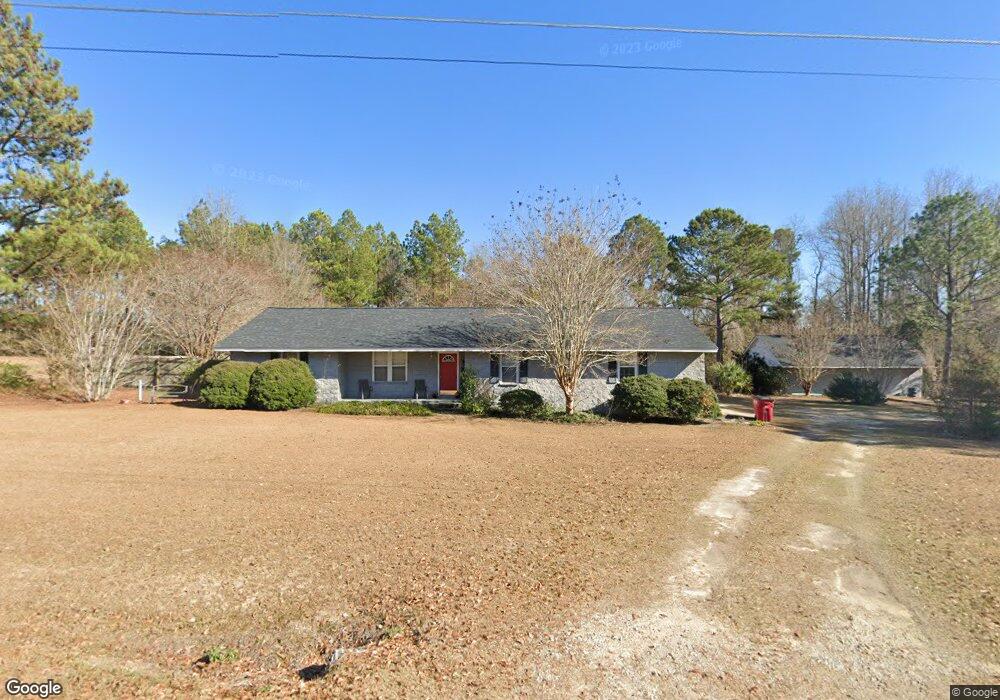
252 Strangward Dr Sylvester, GA 31791
Estimated Value: $167,000 - $265,000
3
Beds
2
Baths
1,721
Sq Ft
$129/Sq Ft
Est. Value
About This Home
This home is located at 252 Strangward Dr, Sylvester, GA 31791 and is currently estimated at $221,185, approximately $128 per square foot. 252 Strangward Dr is a home located in Worth County with nearby schools including Worth County Primary School, Worth County Elementary School, and Worth County Middle School.
Ownership History
Date
Name
Owned For
Owner Type
Purchase Details
Closed on
Sep 13, 2019
Sold by
Cook Amelia Ann
Bought by
Cooper Family Construction Llc
Current Estimated Value
Home Financials for this Owner
Home Financials are based on the most recent Mortgage that was taken out on this home.
Original Mortgage
$82,400
Outstanding Balance
$32,118
Interest Rate
3.6%
Mortgage Type
Commercial
Estimated Equity
$189,067
Purchase Details
Closed on
Mar 9, 2005
Sold by
Littleton Chrisopher Z
Bought by
Littleton Amelia Cook
Home Financials for this Owner
Home Financials are based on the most recent Mortgage that was taken out on this home.
Original Mortgage
$68,100
Interest Rate
5.54%
Mortgage Type
New Conventional
Purchase Details
Closed on
Nov 16, 1988
Bought by
Cook Amelia Ann
Create a Home Valuation Report for This Property
The Home Valuation Report is an in-depth analysis detailing your home's value as well as a comparison with similar homes in the area
Home Values in the Area
Average Home Value in this Area
Purchase History
| Date | Buyer | Sale Price | Title Company |
|---|---|---|---|
| Cooper Family Construction Llc | $103,000 | -- | |
| Littleton Amelia Cook | -- | -- | |
| Cook Amelia Ann | -- | -- |
Source: Public Records
Mortgage History
| Date | Status | Borrower | Loan Amount |
|---|---|---|---|
| Open | Cooper Family Construction Llc | $82,400 | |
| Previous Owner | Littleton Amelia Cook | $68,100 |
Source: Public Records
Tax History Compared to Growth
Tax History
| Year | Tax Paid | Tax Assessment Tax Assessment Total Assessment is a certain percentage of the fair market value that is determined by local assessors to be the total taxable value of land and additions on the property. | Land | Improvement |
|---|---|---|---|---|
| 2024 | $1,468 | $42,137 | $4,000 | $38,137 |
| 2023 | $1,468 | $42,137 | $4,000 | $38,137 |
| 2022 | $1,473 | $42,297 | $4,000 | $38,297 |
| 2021 | $1,450 | $42,297 | $4,000 | $38,297 |
| 2020 | $1,420 | $42,297 | $4,000 | $38,297 |
| 2019 | $1,396 | $42,297 | $4,000 | $38,297 |
| 2018 | $1,212 | $42,297 | $4,000 | $38,297 |
| 2017 | $1,212 | $42,297 | $4,000 | $38,297 |
| 2016 | $1,156 | $42,297 | $4,000 | $38,297 |
| 2015 | $1,158 | $42,297 | $4,000 | $38,297 |
| 2014 | $1,158 | $42,297 | $4,000 | $38,297 |
| 2013 | -- | $41,097 | $2,800 | $38,297 |
| 2012 | -- | $41,096 | $2,800 | $38,296 |
Source: Public Records
Map
Nearby Homes
- 109 Huntington Ct
- 115 Northlake Dr
- 112 Creekwood Cir
- 100 Carriage Ln
- 0 N Isabella St Unit 161570
- 701 N Isabella St
- 1102 N Washington St
- 1011 N Washington St
- 1007 N Isabella St
- 101 Elm St
- 163 Country Woods Ct
- 801 N Washington St
- 0 W Pinson St Unit 10582366
- 117 Donna Dr
- 104 Lynn Cir
- 203 E Pinson St
- 107 Gardner Rd
- 103 N Ayers St
- 1432 S Ga Hwy 33s
- 402 N McPhaul St