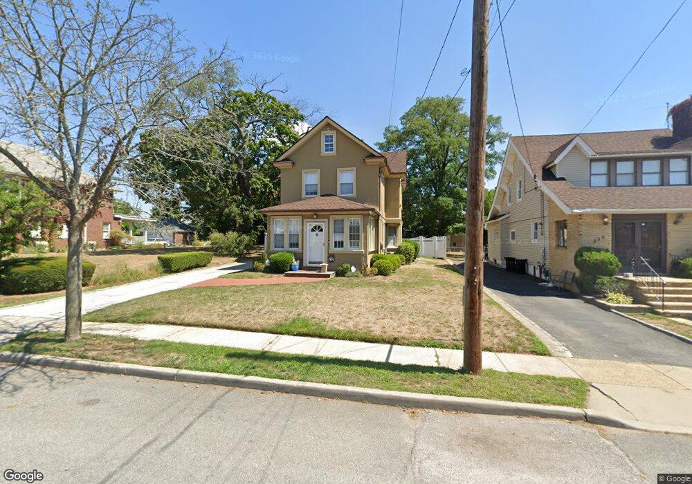
252 Union St Lawrence, NY 11559
Inwood NeighborhoodEstimated Value: $1,115,187 - $1,377,000
4
Beds
2
Baths
1,926
Sq Ft
$647/Sq Ft
Est. Value
About This Home
This home is located at 252 Union St, Lawrence, NY 11559 and is currently estimated at $1,246,094, approximately $646 per square foot. 252 Union St is a home located in Nassau County with nearby schools including Lawrence Primary School, Lawrence Elementary School, and Lawrence Middle School.
Ownership History
Date
Name
Owned For
Owner Type
Purchase Details
Closed on
Aug 24, 2021
Sold by
Hakim Oglo Inbal and Hakim Oglo Yona
Bought by
Blobstein Jacob and Schwebel Sara
Current Estimated Value
Home Financials for this Owner
Home Financials are based on the most recent Mortgage that was taken out on this home.
Original Mortgage
$682,500
Outstanding Balance
$618,724
Interest Rate
2.7%
Mortgage Type
New Conventional
Estimated Equity
$627,370
Purchase Details
Closed on
Jun 12, 2009
Sold by
Carcaterra Anthony
Bought by
Rejman Inbal
Create a Home Valuation Report for This Property
The Home Valuation Report is an in-depth analysis detailing your home's value as well as a comparison with similar homes in the area
Home Values in the Area
Average Home Value in this Area
Purchase History
| Date | Buyer | Sale Price | Title Company |
|---|---|---|---|
| Blobstein Jacob | $975,000 | Old Republic National Title | |
| Rejman Inbal | $430,000 | -- |
Source: Public Records
Mortgage History
| Date | Status | Borrower | Loan Amount |
|---|---|---|---|
| Open | Blobstein Jacob | $682,500 |
Source: Public Records
Tax History
| Year | Tax Paid | Tax Assessment Tax Assessment Total Assessment is a certain percentage of the fair market value that is determined by local assessors to be the total taxable value of land and additions on the property. | Land | Improvement |
|---|---|---|---|---|
| 2025 | $9,614 | $579 | $249 | $330 |
| 2024 | $4,110 | $579 | $249 | $330 |
Source: Public Records
Map
Nearby Homes
- 274 Lawrence Ave
- 227 Randall Ave
- 302 Carvel Ave
- 335 Summit Ave
- 288 Leroy Ave
- 366 Carvel Ave
- 347 Roselle Ave
- 250 Central Ave Unit 119
- 250 Central Ave Unit e218
- 23 Park Ave
- 324 Buckingham Rd
- 285 Central Ave Unit D-7
- 285 Central Ave Unit B-4
- 285 Central Ave Unit D6
- 260 Central Ave Unit 135
- 260 Central Ave Unit 430
- 240 Central Ave Unit 2 F
- 230 Central Ave Unit 1-F
- 230 Central Ave Unit 1C
- 376 Central Ave Unit 3-V
- 250 Union St
- 248 Union St
- 258 Union St
- 246 Union St
- 260 Union St Unit 1st Fl
- 260 Union St
- 253 Rockaway Turnpike
- 258 Spring St
- 251 Union St
- 249 Rockaway Turnpike
- 257 Rockaway Turnpike
- 244 Union St
- 262 Union St
- 247 Rockaway Turnpike
- 256 Spring St
- 259 Rockaway Turnpike
- 255 Spring St
- 245 Rockaway Turnpike
- 242 Union St
- 263 Rockaway Turnpike
Your Personal Tour Guide
Ask me questions while you tour the home.