252 Webster Rd Huntsville, AL 35811
Estimated Value: $391,000 - $686,000
--
Bed
1
Bath
3,970
Sq Ft
$136/Sq Ft
Est. Value
About This Home
This home is located at 252 Webster Rd, Huntsville, AL 35811 and is currently estimated at $539,871, approximately $135 per square foot. 252 Webster Rd is a home with nearby schools including Central School and Madison County High School.
Ownership History
Date
Name
Owned For
Owner Type
Purchase Details
Closed on
May 11, 2020
Sold by
Frazier John U and Floyd Frazier E
Bought by
Osmiidr Properties Llc
Current Estimated Value
Purchase Details
Closed on
Sep 26, 2006
Sold by
Stegall Teresa Ann and Wilburn Brenda Kay
Bought by
Osmer Alan and Osmer Carlene
Home Financials for this Owner
Home Financials are based on the most recent Mortgage that was taken out on this home.
Original Mortgage
$52,360
Interest Rate
6.57%
Mortgage Type
Future Advance Clause Open End Mortgage
Create a Home Valuation Report for This Property
The Home Valuation Report is an in-depth analysis detailing your home's value as well as a comparison with similar homes in the area
Home Values in the Area
Average Home Value in this Area
Purchase History
| Date | Buyer | Sale Price | Title Company |
|---|---|---|---|
| Osmiidr Properties Llc | -- | None Available | |
| Osmer Alan | -- | -- |
Source: Public Records
Mortgage History
| Date | Status | Borrower | Loan Amount |
|---|---|---|---|
| Previous Owner | Osmer Alan | $52,360 |
Source: Public Records
Tax History Compared to Growth
Tax History
| Year | Tax Paid | Tax Assessment Tax Assessment Total Assessment is a certain percentage of the fair market value that is determined by local assessors to be the total taxable value of land and additions on the property. | Land | Improvement |
|---|---|---|---|---|
| 2024 | $1,568 | $44,540 | $3,160 | $41,380 |
| 2023 | $1,568 | $43,420 | $3,160 | $40,260 |
| 2022 | $1,320 | $37,620 | $1,800 | $35,820 |
| 2021 | $1,179 | $33,760 | $1,800 | $31,960 |
| 2020 | $1,098 | $31,540 | $1,800 | $29,740 |
| 2019 | $1,058 | $30,430 | $1,800 | $28,630 |
| 2018 | $984 | $28,400 | $0 | $0 |
| 2017 | $984 | $28,400 | $0 | $0 |
| 2016 | $984 | $28,400 | $0 | $0 |
| 2015 | $984 | $28,400 | $0 | $0 |
| 2014 | $973 | $28,100 | $0 | $0 |
Source: Public Records
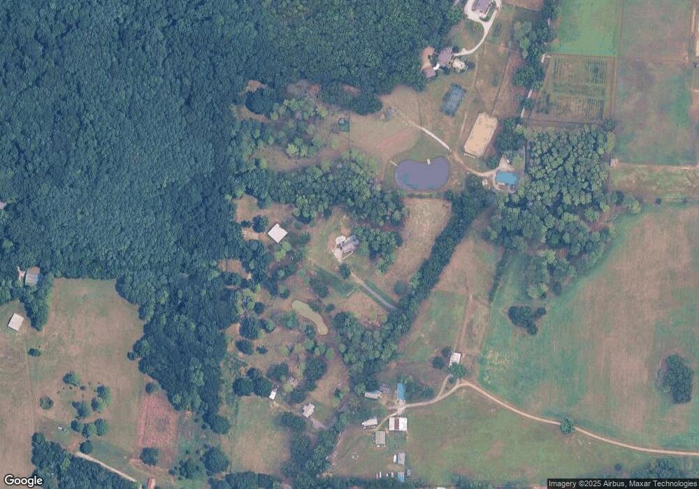
Map
Nearby Homes
- 235 Grasslands Rd
- 221 Grasslands Rd
- 216 Grasslands Rd
- 1519 Ryland Pike
- 3608 Maysville Rd NE
- 0 Gilliam Rd
- 309 Gilliam Rd
- 211 Powell St
- 218 Powell St
- 102 Peyton Cir
- 483 Moontown Rd
- 350 Moontown Rd
- 362 Moontown Rd
- 111 Cool Cir
- 477 Moontown Rd
- 124 Jodie Dr
- 107 Nolan Dr
- 506 Moontown Rd
- 172 Day Dr
- 123 Delta Pine Dr
- 248 Webster Rd
- 246 Grasslands Rd
- 201 Webster Rd
- 245 Grasslands Rd
- 194 Webster Rd
- 114 Cherry Glen
- 243 Grasslands Rd
- 114 Cherry Glen Cir
- 112 Cherry Glen
- 115 Cherry Glen Cir
- 115 Cherry Glen
- 241 Grasslands Rd
- 3275 Maysville Rd NE
- 240 Grasslands Rd
- 113 Cherry Glen
- 113 Cherry Glen
- 110 Cherry Glen
- 113 Cherry Glen Cir
- 114 Hickory Glen
- 176 Webster Rd