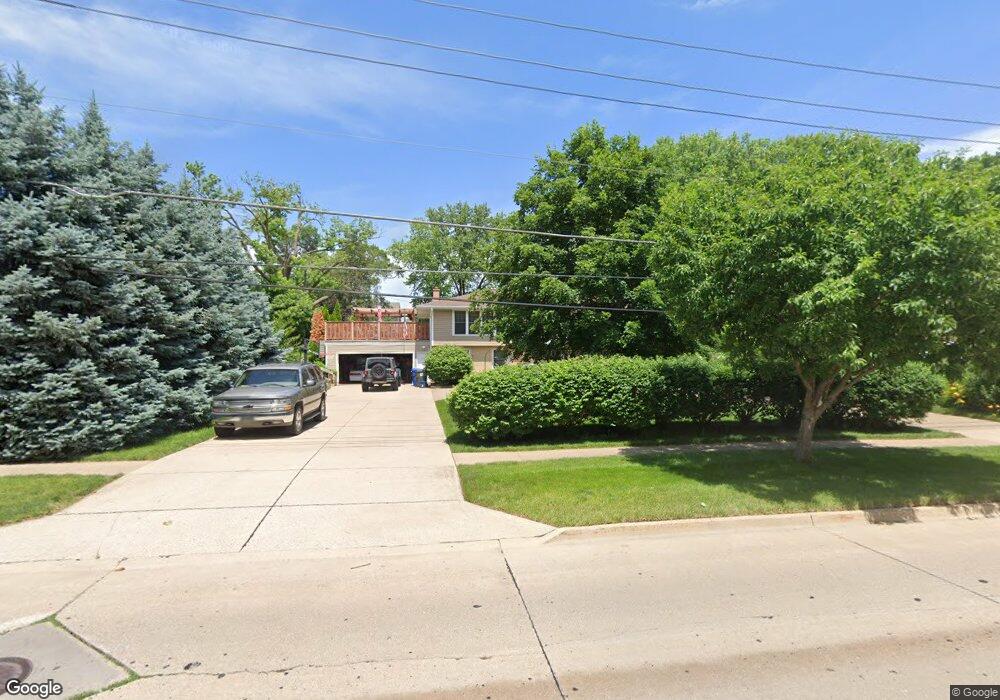
2520 E 46th St Davenport, IA 52807
North Side NeighborhoodEstimated Value: $314,528 - $359,000
4
Beds
3
Baths
2,569
Sq Ft
$132/Sq Ft
Est. Value
About This Home
This home is located at 2520 E 46th St, Davenport, IA 52807 and is currently estimated at $338,132, approximately $131 per square foot. 2520 E 46th St is a home located in Scott County with nearby schools including Eisenhower Elementary School, Sudlow Intermediate School, and Central High School.
Ownership History
Date
Name
Owned For
Owner Type
Purchase Details
Closed on
Jan 19, 2021
Sold by
Hofeldt Barton L and Hofeldt Sally A
Bought by
Mielke Aaron and Mielke Amanda M
Current Estimated Value
Home Financials for this Owner
Home Financials are based on the most recent Mortgage that was taken out on this home.
Original Mortgage
$215,201
Outstanding Balance
$191,694
Interest Rate
2.6%
Mortgage Type
FHA
Estimated Equity
$146,438
Create a Home Valuation Report for This Property
The Home Valuation Report is an in-depth analysis detailing your home's value as well as a comparison with similar homes in the area
Home Values in the Area
Average Home Value in this Area
Purchase History
| Date | Buyer | Sale Price | Title Company |
|---|---|---|---|
| Mielke Aaron | $235,000 | None Listed On Document |
Source: Public Records
Mortgage History
| Date | Status | Borrower | Loan Amount |
|---|---|---|---|
| Open | Mielke Aaron | $215,201 |
Source: Public Records
Tax History
| Year | Tax Paid | Tax Assessment Tax Assessment Total Assessment is a certain percentage of the fair market value that is determined by local assessors to be the total taxable value of land and additions on the property. | Land | Improvement |
|---|---|---|---|---|
| 2025 | $5,388 | $314,020 | $34,510 | $279,510 |
| 2024 | $5,866 | $286,070 | $34,510 | $251,560 |
| 2023 | $4,754 | $286,070 | $34,510 | $251,560 |
| 2022 | $4,740 | $222,540 | $29,580 | $192,960 |
| 2021 | $4,740 | $220,930 | $29,580 | $191,350 |
| 2020 | $4,186 | $204,850 | $29,580 | $175,270 |
| 2019 | $4,008 | $190,380 | $29,580 | $160,800 |
| 2018 | $3,810 | $190,380 | $29,580 | $160,800 |
| 2017 | $3,472 | $185,550 | $29,580 | $155,970 |
| 2016 | $3,338 | $164,490 | $0 | $0 |
| 2015 | $3,338 | $172,380 | $0 | $0 |
| 2014 | $3,562 | $172,380 | $0 | $0 |
| 2013 | $3,494 | $0 | $0 | $0 |
| 2012 | -- | $140,180 | $27,620 | $112,560 |
Source: Public Records
Map
Nearby Homes
- 4709 Pheasant Creek Ave
- 4732 Pheasant Creek Ave
- 5131 Woodland Ave
- 5002 Fairhaven Rd
- 4320 Belle Ave
- 2916 E 45th Ct
- 2919 E 44th Ct
- 0 E 53rd St Unit Lot 4
- 3827 Belle Ave
- 4600 Eastern Ave
- 0 Eastern Unit MRDQC4247043
- 2315 E 57th St
- 2604 E 34th Street Ct
- 2023 E 58th St
- 5911 Woodland Ave
- 5811 Duggleby Ave
- 2501 E 34th Street Ct
- 3403 Forest Rd
- 5810 Indigo Ave
- 1811 Katie Ct
- 2528 E 46th St
- 2506 E 46th St
- 2509 Pheasant Creek Cir
- 2503 Pheasant Creek Cir
- 2515 Pheasant Creek Cir
- 2521 Pheasant Creek Cir
- 2521 Pheasant Creek Cir
- 2465 Pheasant Creek Cir
- 2465 Pheasant Creek Cir
- 2542 E 46th St
- 2529 Pheasant Creek Cir
- 2457 Pheasant Creek Cir
- 2507 E 46th St
- 2523 E 46th St
- 2449 Pheasant Creek Cir
- 2449 Pheasant Creek Cir
- 2535 Pheasant Creek Cir
- 2535 Pheasant Creek Cir
- 2442 E 46th St
- 2535 E 46th St
Your Personal Tour Guide
Ask me questions while you tour the home.