2520 Katsura Ln Unit 14 Howell, MI 48855
Estimated Value: $328,000 - $360,000
3
Beds
4
Baths
1,831
Sq Ft
$187/Sq Ft
Est. Value
About This Home
This home is located at 2520 Katsura Ln Unit 14, Howell, MI 48855 and is currently estimated at $342,883, approximately $187 per square foot. 2520 Katsura Ln Unit 14 is a home located in Livingston County with nearby schools including Ruahmah J. Hutchings Elementary, Parker Middle School, and Howell High School.
Ownership History
Date
Name
Owned For
Owner Type
Purchase Details
Closed on
Feb 5, 2002
Sold by
M & 59 Inc
Bought by
G D Communities Llc
Current Estimated Value
Purchase Details
Closed on
Sep 14, 2001
Sold by
G D Communities Llc
Bought by
Jacobs William P and Jacobs Janine F
Home Financials for this Owner
Home Financials are based on the most recent Mortgage that was taken out on this home.
Original Mortgage
$75,000
Interest Rate
6.97%
Create a Home Valuation Report for This Property
The Home Valuation Report is an in-depth analysis detailing your home's value as well as a comparison with similar homes in the area
Home Values in the Area
Average Home Value in this Area
Purchase History
| Date | Buyer | Sale Price | Title Company |
|---|---|---|---|
| G D Communities Llc | $24,287 | -- | |
| Jacobs William P | $232,925 | Philip R Seaver Title Co Inc |
Source: Public Records
Mortgage History
| Date | Status | Borrower | Loan Amount |
|---|---|---|---|
| Previous Owner | Jacobs William P | $75,000 |
Source: Public Records
Tax History Compared to Growth
Tax History
| Year | Tax Paid | Tax Assessment Tax Assessment Total Assessment is a certain percentage of the fair market value that is determined by local assessors to be the total taxable value of land and additions on the property. | Land | Improvement |
|---|---|---|---|---|
| 2025 | $1,414 | $154,200 | $0 | $0 |
| 2024 | $1,374 | $156,600 | $0 | $0 |
| 2023 | $1,312 | $140,100 | $0 | $0 |
| 2022 | $603 | $112,100 | $0 | $0 |
| 2021 | $1,818 | $121,700 | $0 | $0 |
| 2020 | $1,838 | $112,100 | $0 | $0 |
| 2019 | $1,812 | $98,700 | $0 | $0 |
| 2018 | $1,790 | $95,100 | $0 | $0 |
| 2017 | $1,766 | $93,600 | $0 | $0 |
| 2016 | $1,757 | $88,000 | $0 | $0 |
| 2014 | $1,664 | $76,500 | $0 | $0 |
| 2012 | $1,664 | $69,000 | $0 | $0 |
Source: Public Records
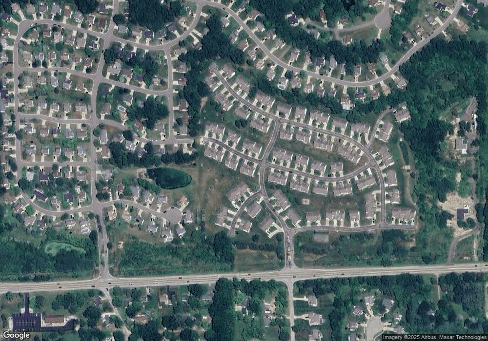
Map
Nearby Homes
- 1570 Princewood Blvd
- 2511 Kerria Dr Unit 42
- 2495 Moore Place
- 1400 Oakcrest Rd
- 1633 Frech Ln
- 3040 Bogues View Dr
- VACANT LOT Thompson Shore Dr
- 475 Cannonade Loop
- 559 Cannonade Loop
- 571 Cannonade Loop
- 523 Cannonade Loop
- 583 Cannonade Loop
- The Austin Plan at Broadmoor
- The Charlotte Plan at Broadmoor
- The Harrison Plan at Broadmoor
- The Bloomington Plan at Broadmoor
- The Columbia Plan at Broadmoor
- 3224 Waverly Woods Ln
- 2653 Ravine Side N
- 3227 Waverly Woods Ln
- 2524 Katsura Ln Unit 15
- 2516 Katsura Ln Unit 17
- 2512 Katsura Ln Unit 16
- 1587 Myrica Ln Unit 13
- 1583 Myrica Ln Unit 12
- 2521 Katsura Ln Unit 27
- 2517 Katsura Ln Unit 26
- 2523 Katsura Ln Unit 28
- 2500 Katsura Ln Unit 20
- 1579 Myrica Ln Unit 11
- 2554 Katsura Ln Unit 91
- 2509 Katsura Ln Unit 25
- 1575 Myrica Ln
- 1575 Myrica Ln Unit 10
- 2496 Katsura Ln
- 2496 Katsura Ln Unit 19
- 2505 Katsura Ln Unit 24
- 2558 Katsura Ln Unit 92
- 2561 Katsura Ln Unit 113
- 2492 Katsura Ln Unit 18