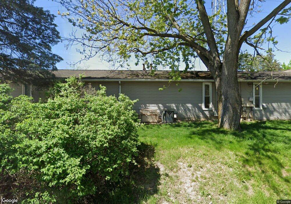
2520 Packard Rd Unit 2 Ypsilanti, MI 48197
Estimated Value: $359,516
Studio
--
Bath
3,070
Sq Ft
$117/Sq Ft
Est. Value
About This Home
This home is located at 2520 Packard Rd Unit 2, Ypsilanti, MI 48197 and is currently estimated at $359,516, approximately $117 per square foot. 2520 Packard Rd Unit 2 is a home located in Washtenaw County with nearby schools including Fortis Academy.
Ownership History
Date
Name
Owned For
Owner Type
Purchase Details
Closed on
Jun 16, 2023
Sold by
Musili Dorcas
Bought by
Cawnet Ventures Llc
Current Estimated Value
Purchase Details
Closed on
Sep 18, 2020
Sold by
Packard Professional Asociates
Bought by
Musili Dorcas Tabitha Wangari
Home Financials for this Owner
Home Financials are based on the most recent Mortgage that was taken out on this home.
Original Mortgage
$198,750
Interest Rate
2.9%
Mortgage Type
Credit Line Revolving
Create a Home Valuation Report for This Property
The Home Valuation Report is an in-depth analysis detailing your home's value as well as a comparison with similar homes in the area
Home Values in the Area
Average Home Value in this Area
Purchase History
| Date | Buyer | Sale Price | Title Company |
|---|---|---|---|
| Cawnet Ventures Llc | -- | None Listed On Document | |
| Musili Dorcas Tabitha Wangari | $265,000 | None Available |
Source: Public Records
Mortgage History
| Date | Status | Borrower | Loan Amount |
|---|---|---|---|
| Previous Owner | Musili Dorcas Tabitha Wangari | $198,750 |
Source: Public Records
Tax History
| Year | Tax Paid | Tax Assessment Tax Assessment Total Assessment is a certain percentage of the fair market value that is determined by local assessors to be the total taxable value of land and additions on the property. | Land | Improvement |
|---|---|---|---|---|
| 2025 | $6,667 | $192,500 | $0 | $0 |
| 2024 | $6,478 | $198,600 | $0 | $0 |
| 2023 | $6,029 | $190,200 | $0 | $0 |
| 2022 | $0 | $122,500 | $0 | $0 |
| 2021 | $5,230 | $125,600 | $0 | $0 |
| 2020 | $5,230 | $119,600 | $0 | $0 |
| 2019 | $5,230 | $102,900 | $102,900 | $0 |
| 2018 | $0 | $100,100 | $0 | $0 |
| 2017 | $5,244 | $86,300 | $0 | $0 |
| 2016 | $3,812 | $79,721 | $0 | $0 |
| 2015 | $4,938 | $79,483 | $0 | $0 |
| 2014 | $4,938 | $77,000 | $0 | $0 |
| 2013 | -- | $77,000 | $0 | $0 |
Source: Public Records
Map
Nearby Homes
- 472 Westlawn St
- 2281 Valley Dr
- 520 Rice Ave
- 240 N Clubview Dr
- 2600 Collegewood St
- 2564 Collegewood St
- 2550 Collegewood St
- 2482 Eagles Cir Unit 6
- 2437 Burns Ave
- 2278 Touchdown Ct Unit 1
- 2246 Touchdown Ct Unit 1
- 445 Courtland St
- 1942 Roosevelt
- 4918 Ainsley Ave
- 1807 Whittier Rd
- 467 Douglas St
- 2418 Draper Ave
- 1628 Whittier Rd
- 465 N Mansfield St
- 1521 Roosevelt
- 2520 Packard Rd
- 2520 Packard Rd Unit 4
- 2520 Packard St
- 2490 Packard Rd
- 2490 Packard St
- 2509 Southlawn St
- 2529 Southlawn St
- 2539 Southlawn St
- 2550 Packard Rd
- 2549 Southlawn St
- 123 Southlawn
- 2541 Packard Rd
- 2569 Southlawn St
- 2547 Packard Rd
- 461 Brookside St
- 479 Brookside St
- 445 Brookside St
- 2520 Southlawn St
- 2510 Southlawn St
- 2530 Southlawn St
Your Personal Tour Guide
Ask me questions while you tour the home.