2520 Shawn Cir State College, PA 16801
Estimated Value: $271,000 - $294,000
2
Beds
1
Bath
852
Sq Ft
$337/Sq Ft
Est. Value
About This Home
This home is located at 2520 Shawn Cir, State College, PA 16801 and is currently estimated at $286,886, approximately $336 per square foot. 2520 Shawn Cir is a home located in Centre County with nearby schools including Spring Creek Elementary, Mount Nittany Middle School, and State College Area High School.
Ownership History
Date
Name
Owned For
Owner Type
Purchase Details
Closed on
Aug 20, 2013
Sold by
Francis Jesse J and Francis Joanna M
Bought by
Summerson Natalie G
Current Estimated Value
Home Financials for this Owner
Home Financials are based on the most recent Mortgage that was taken out on this home.
Original Mortgage
$124,000
Outstanding Balance
$92,030
Interest Rate
4.34%
Mortgage Type
New Conventional
Estimated Equity
$194,856
Purchase Details
Closed on
Jan 4, 2002
Bought by
Summerson Robert Z and Summerson Natalie G
Create a Home Valuation Report for This Property
The Home Valuation Report is an in-depth analysis detailing your home's value as well as a comparison with similar homes in the area
Home Values in the Area
Average Home Value in this Area
Purchase History
| Date | Buyer | Sale Price | Title Company |
|---|---|---|---|
| Summerson Natalie G | $170,000 | None Available | |
| Summerson Robert Z | $111,900 | -- |
Source: Public Records
Mortgage History
| Date | Status | Borrower | Loan Amount |
|---|---|---|---|
| Open | Summerson Natalie G | $124,000 |
Source: Public Records
Tax History Compared to Growth
Tax History
| Year | Tax Paid | Tax Assessment Tax Assessment Total Assessment is a certain percentage of the fair market value that is determined by local assessors to be the total taxable value of land and additions on the property. | Land | Improvement |
|---|---|---|---|---|
| 2025 | $2,880 | $44,405 | $20,435 | $23,970 |
| 2024 | $2,735 | $44,405 | $20,435 | $23,970 |
| 2023 | $2,735 | $44,405 | $20,435 | $23,970 |
| 2022 | $2,666 | $44,405 | $20,435 | $23,970 |
| 2021 | $2,666 | $44,405 | $20,435 | $23,970 |
| 2020 | $2,652 | $44,405 | $20,435 | $23,970 |
| 2019 | $2,177 | $44,405 | $20,435 | $23,970 |
| 2018 | $2,548 | $44,405 | $20,435 | $23,970 |
| 2017 | $2,518 | $44,405 | $20,435 | $23,970 |
| 2016 | -- | $44,405 | $20,435 | $23,970 |
| 2015 | -- | $44,405 | $20,435 | $23,970 |
| 2014 | -- | $44,405 | $20,435 | $23,970 |
Source: Public Records
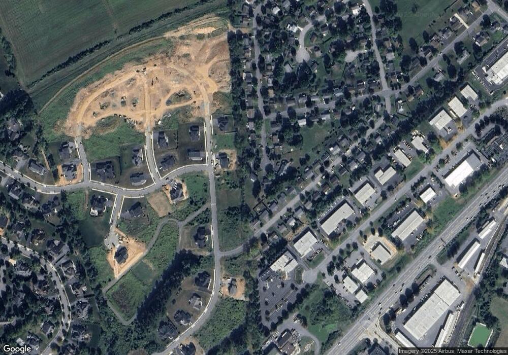
Map
Nearby Homes
- 211 Farmhill Dr
- 217 Farmhill Dr
- 151 Sunhaven Lane Lot Unit 61
- 423 Farmhill Dr
- 429 Farmhill Dr
- 335 Gerald St
- ON 1st Ave
- 246 1st Ave
- 250 1st Ave
- 140 Pepperberry Ln
- 135 Fernleaf Ct
- 124 Broad Oak Ln
- 122 Broad Oak Ln
- 118 Broad Oak Ln
- 127 Broad Oak Ln
- 116 Broad Oak Ln
- 418 Pike St
- 330 Trout Rd
- 109 Buchanan Ave
- 624 Struble Rd
- 2523 Shawn Cir
- 303 Farmhill Dr
- 2514 Shawn Cir
- 309 Farmhill Dr
- 2678 Penbrook Ln
- 2682 Penbrook Ln
- 2674 Penbrook Ln
- 2508 Shawn Cir
- 2688 Penbrook Ln
- 2515 Shawn Cir
- 250 Farmhill Dr
- 2666 Penbrook Ln
- 2504 Shawn Cir
- 247 Farmhill Dr
- 2505 Shawn Cir
- 2681 Penbrook Ln
- 2685 Penbrook Ln
- 321 Farmhill Dr
- 2677 Penbrook Ln
- 2689 Penbrook Ln