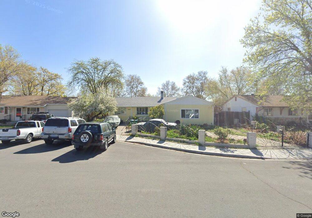
2520 Simms Cir Sparks, NV 89431
McCarran Boulevard-Probasco NeighborhoodEstimated Value: $405,000 - $428,000
5
Beds
1
Bath
1,380
Sq Ft
$301/Sq Ft
Est. Value
About This Home
This home is located at 2520 Simms Cir, Sparks, NV 89431 and is currently estimated at $415,785, approximately $301 per square foot. 2520 Simms Cir is a home located in Washoe County with nearby schools including Florence Drake Elementary School, George L Dilworth Middle School, and Sparks High School.
Ownership History
Date
Name
Owned For
Owner Type
Purchase Details
Closed on
Dec 27, 2024
Sold by
Laureano Leal Trust and Leal Laureano
Bought by
Laureano Leal Trust and Leal-Olsen
Current Estimated Value
Purchase Details
Closed on
Mar 4, 2020
Sold by
Leal Laureano Alvarez
Bought by
Leal Laureano and Laureano Leal Trust
Create a Home Valuation Report for This Property
The Home Valuation Report is an in-depth analysis detailing your home's value as well as a comparison with similar homes in the area
Home Values in the Area
Average Home Value in this Area
Purchase History
| Date | Buyer | Sale Price | Title Company |
|---|---|---|---|
| Laureano Leal Trust | -- | Core Title Group | |
| Laureano Leal Trust | -- | Core Title Group | |
| Leal Laureano | -- | None Available |
Source: Public Records
Tax History
| Year | Tax Paid | Tax Assessment Tax Assessment Total Assessment is a certain percentage of the fair market value that is determined by local assessors to be the total taxable value of land and additions on the property. | Land | Improvement |
|---|---|---|---|---|
| 2026 | -- | $54,026 | $34,090 | $19,936 |
| 2025 | $638 | $53,345 | $33,565 | $19,780 |
| 2024 | $638 | $49,580 | $30,065 | $19,515 |
| 2023 | $620 | $49,374 | $31,325 | $18,049 |
| 2022 | $611 | $40,840 | $26,180 | $14,660 |
| 2021 | $601 | $32,157 | $17,955 | $14,202 |
| 2020 | $736 | $31,003 | $16,940 | $14,063 |
| 2019 | $714 | $29,198 | $15,890 | $13,308 |
| 2018 | $694 | $24,481 | $11,725 | $12,756 |
| 2017 | $674 | $23,073 | $10,395 | $12,678 |
| 2016 | $659 | $22,032 | $9,345 | $12,687 |
| 2015 | $657 | $20,171 | $7,700 | $12,471 |
| 2014 | $1,176 | $18,867 | $6,440 | $12,427 |
| 2013 | -- | $16,951 | $4,270 | $12,681 |
Source: Public Records
Map
Nearby Homes
- 2475 Stine Way
- 705 York Way
- 343 Richards Way
- 1940 4th St Unit 20
- 1940 4th St Unit 51
- 1940 4th St Unit 46
- 1945 4th St Unit 22
- 1945 4th St Unit 51
- 181 Quail St
- 1023 Tyler Way
- 115 P St
- 28 Arndell Way
- 1125 Dodson Way
- 3214 Valley Forge Way
- 91 E York Way
- 105 O St
- 314 M St
- 8 E O St
- 2557 Janelle Dr
- 14 E Greenbrae Dr
Your Personal Tour Guide
Ask me questions while you tour the home.