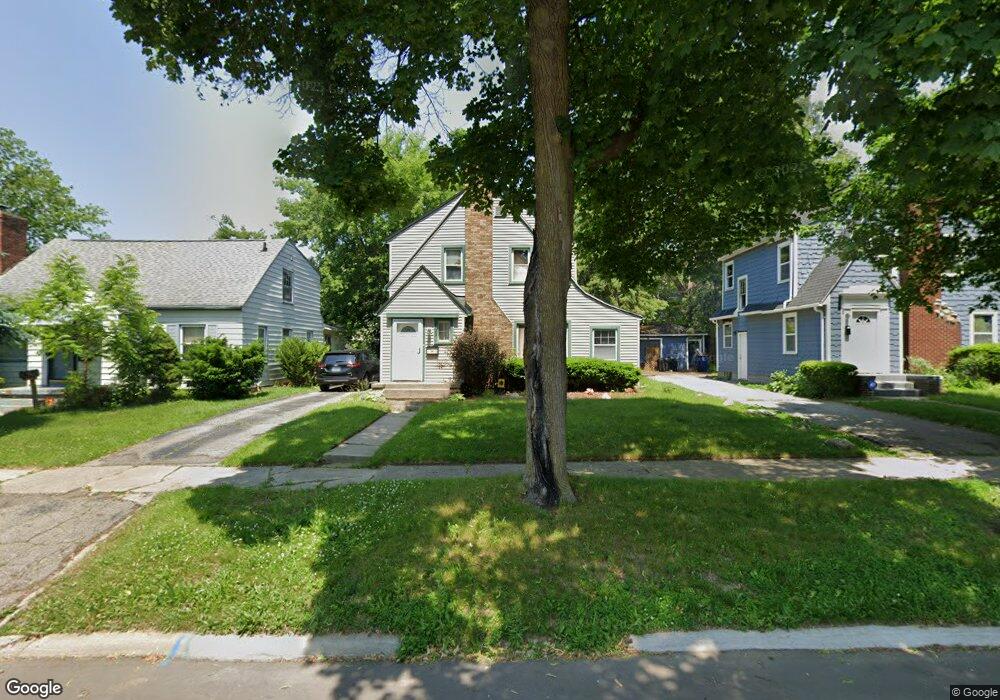
2520 Thomas St Flint, MI 48504
Mott Park NeighborhoodEstimated Value: $98,000 - $118,223
4
Beds
2
Baths
1,691
Sq Ft
$65/Sq Ft
Est. Value
About This Home
This home is located at 2520 Thomas St, Flint, MI 48504 and is currently estimated at $109,806, approximately $64 per square foot. 2520 Thomas St is a home located in Genesee County with nearby schools including Durant-Tuuri-Mott Elementary School, St John Vianney Catholic School, and St. Paul Lutheran School.
Ownership History
Date
Name
Owned For
Owner Type
Purchase Details
Closed on
Jul 14, 2009
Sold by
Secretary Of Housing & Urban Development
Bought by
Jones Valerie
Current Estimated Value
Purchase Details
Closed on
Jun 5, 2007
Sold by
Wells Fargo Bank Na
Bought by
Hud
Purchase Details
Closed on
Nov 29, 2006
Sold by
Sidibe Siriman
Bought by
Wells Fargo Bank Na and Wells Fargo Home Mortgage
Purchase Details
Closed on
Jun 21, 2002
Sold by
Ploucha Raymond F and Ploucha Anne E
Bought by
Sidibe Siriman
Create a Home Valuation Report for This Property
The Home Valuation Report is an in-depth analysis detailing your home's value as well as a comparison with similar homes in the area
Home Values in the Area
Average Home Value in this Area
Purchase History
We collect this data history from publicly available records. To have your information removed, we recommend requesting removal directly through your county’s website.
| Date | Buyer | Sale Price | Title Company |
|---|---|---|---|
| Jones Valerie | $16,050 | None Available | |
| Hud | -- | None Available | |
| Wells Fargo Bank Na | $106,469 | None Available | |
| Sidibe Siriman | $96,945 | Metropolitan Title Company |
Source: Public Records
Tax History
| Year | Tax Paid | Tax Assessment Tax Assessment Total Assessment is a certain percentage of the fair market value that is determined by local assessors to be the total taxable value of land and additions on the property. | Land | Improvement |
|---|---|---|---|---|
| 2025 | $1,344 | $52,700 | $0 | $0 |
| 2024 | $1,205 | $49,800 | $0 | $0 |
| 2023 | $1,176 | $41,700 | $0 | $0 |
| 2022 | $0 | $30,200 | $0 | $0 |
| 2021 | $1,231 | $22,500 | $0 | $0 |
| 2020 | $1,098 | $30,100 | $0 | $0 |
| 2019 | $1,062 | $19,500 | $0 | $0 |
| 2018 | $1,089 | $16,800 | $0 | $0 |
| 2017 | $1,058 | $0 | $0 | $0 |
| 2016 | $1,058 | $0 | $0 | $0 |
| 2015 | -- | $0 | $0 | $0 |
| 2014 | -- | $0 | $0 | $0 |
| 2012 | -- | $22,500 | $0 | $0 |
Source: Public Records
Map
Nearby Homes
- 2513 Tiffin St
- 815 Marquette St
- 2469 Hatherly Ave
- 316 Sheffield Ave
- 3617 Sherwood Dr
- 1252 N Ballenger Hwy
- 0000 Beecher Rd
- 2410 Sloan St
- 1220 Forest Hill Ave
- 1271 Donaldson Blvd
- 3120 Stratford St
- 772 N Chevrolet Ave
- 1133 Donaldson St
- 701 Saint Clair Ave
- 3301 Gratiot Ave
- 3302 Van Buren Ave
- 0 Donaldson St
- 1119 River Valley Dr
- 1908 Raskob St
- 3216 Walton Ave
- 2516 Thomas St
- 2524 Thomas St
- 2528 Thomas St
- 2523 Norbert St
- 2512 Thomas St
- 2527 Norbert St
- 2519 Norbert St
- 2531 Norbert St
- 2513 Norbert St
- 2532 Thomas St
- 2521 Thomas St
- 2517 Thomas St
- 2535 Norbert St
- 2525 Thomas St
- 401 Marquette St
- 2540 Thomas St
- 407 Marquette St
- 2529 Thomas St
- 2536 Thomas St
- 315 Marquette St
Your Personal Tour Guide
Ask me questions while you tour the home.