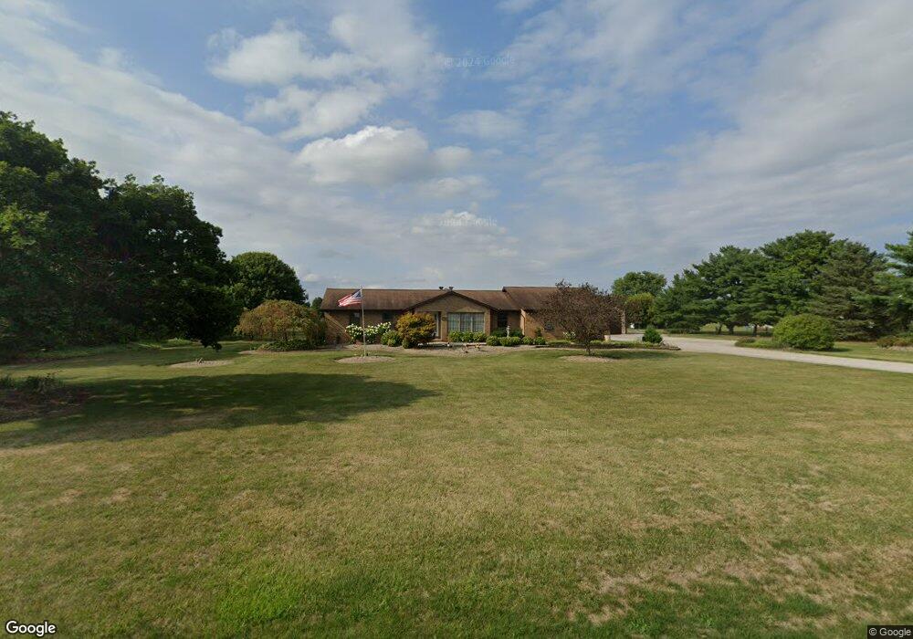
2520 Weigand Rd Lockbourne, OH 43137
Estimated Value: $465,683 - $758,000
3
Beds
2
Baths
1,843
Sq Ft
$318/Sq Ft
Est. Value
About This Home
This home is located at 2520 Weigand Rd, Lockbourne, OH 43137 and is currently estimated at $586,671, approximately $318 per square foot. 2520 Weigand Rd is a home located in Pickaway County.
Ownership History
Date
Name
Owned For
Owner Type
Purchase Details
Closed on
Oct 15, 1997
Sold by
Neil Roger
Bought by
Turner Randall B and Turner Victoria L
Current Estimated Value
Home Financials for this Owner
Home Financials are based on the most recent Mortgage that was taken out on this home.
Original Mortgage
$110,000
Outstanding Balance
$14,612
Interest Rate
7.65%
Mortgage Type
New Conventional
Estimated Equity
$572,059
Create a Home Valuation Report for This Property
The Home Valuation Report is an in-depth analysis detailing your home's value as well as a comparison with similar homes in the area
Purchase History
| Date | Buyer | Sale Price | Title Company |
|---|---|---|---|
| Turner Randall B | $175,000 | -- |
Source: Public Records
Mortgage History
| Date | Status | Borrower | Loan Amount |
|---|---|---|---|
| Open | Turner Randall B | $110,000 |
Source: Public Records
Tax History
| Year | Tax Paid | Tax Assessment Tax Assessment Total Assessment is a certain percentage of the fair market value that is determined by local assessors to be the total taxable value of land and additions on the property. | Land | Improvement |
|---|---|---|---|---|
| 2025 | $6,044 | $122,320 | $25,980 | $96,340 |
| 2024 | $6,044 | $122,320 | $25,980 | $96,340 |
| 2023 | $4,297 | $122,320 | $25,980 | $96,340 |
| 2022 | $3,715 | $98,480 | $21,360 | $77,120 |
| 2021 | $3,518 | $98,480 | $21,360 | $77,120 |
| 2020 | $3,523 | $98,480 | $21,360 | $77,120 |
| 2019 | $2,915 | $82,590 | $20,430 | $62,160 |
| 2018 | $3,023 | $82,590 | $20,430 | $62,160 |
| 2017 | $3,110 | $82,590 | $20,430 | $62,160 |
| 2016 | $2,847 | $76,080 | $19,510 | $56,570 |
| 2015 | $2,848 | $76,080 | $19,510 | $56,570 |
| 2014 | $2,850 | $76,080 | $19,510 | $56,570 |
| 2013 | $3,226 | $82,410 | $19,510 | $62,900 |
Source: Public Records
Map
Nearby Homes
- 54 Cider Mill Dr
- 57 Cider Mill Dr
- 62 Cider Mill Dr
- 61 Cider Mill Dr
- 59 Cider Mill Dr
- 44 Cider Mill Dr
- 60 Cider Mill Dr
- 50 Cider Mill Dr
- 53 Cider Mill Dr
- 3 Grismill Dr
- 2713 W Old Duvall Ct
- 2767 W Old Duvall Ct
- 2901 W Old Duvall Ct
- 39 Thoreau Dr
- 10976 Bulen Pierce Rd
- 2864 W Old Duvall Ct
- 11879 Lockbourne Eastern Rd
- 3109 E Old Duvall Ct
- 1 Hemingway Ave
- 5 Thurber Rd
- 0 Weigand Rd
- 0 Weigand Rd
- 2542 Weigand Rd
- 2600 Weigand Rd
- 12465 Bulen Pierce Rd
- 12417 Bulen Pierce Rd
- 2630 Weigand Rd
- 12402 Bulen Pierce Rd
- 2415 Weigand Rd
- 2395 Weigand Rd
- 2662 Weigand Rd
- 12399 Bulen Pierce Rd
- 2358 Weigand Rd
- 2704 Weigand Rd
- 2363 Weigand Rd
- 12300 Bulen Pierce Rd
- 2720 Weigand Rd
- 2339 Weigand Rd
- 12313 Bulen Pierce Rd
- 2325 Weigand Rd
Your Personal Tour Guide
Ask me questions while you tour the home.