Estimated Value: $520,000 - $676,000
3
Beds
2
Baths
1,386
Sq Ft
$450/Sq Ft
Est. Value
About This Home
This home is located at 25207 Wamstad Rd, Parma, ID 83660 and is currently estimated at $623,405, approximately $449 per square foot. 25207 Wamstad Rd is a home located in Canyon County with nearby schools including Maxine Johnson Elementary School, Parma Middle School, and Parma High School.
Ownership History
Date
Name
Owned For
Owner Type
Purchase Details
Closed on
Nov 22, 2016
Sold by
Farson James W and Farson Regenia S
Bought by
Elfering Leonard W and Elfering Lorraine Marie
Current Estimated Value
Home Financials for this Owner
Home Financials are based on the most recent Mortgage that was taken out on this home.
Original Mortgage
$29,000
Interest Rate
3.47%
Mortgage Type
Seller Take Back
Create a Home Valuation Report for This Property
The Home Valuation Report is an in-depth analysis detailing your home's value as well as a comparison with similar homes in the area
Purchase History
| Date | Buyer | Sale Price | Title Company |
|---|---|---|---|
| Elfering Leonard W | -- | Pioneer Title Canyon Caldwel |
Source: Public Records
Mortgage History
| Date | Status | Borrower | Loan Amount |
|---|---|---|---|
| Closed | Elfering Leonard W | $29,000 |
Source: Public Records
Tax History
| Year | Tax Paid | Tax Assessment Tax Assessment Total Assessment is a certain percentage of the fair market value that is determined by local assessors to be the total taxable value of land and additions on the property. | Land | Improvement |
|---|---|---|---|---|
| 2025 | $1,953 | $522,580 | $215,780 | $306,800 |
| 2024 | $1,953 | $511,270 | $217,070 | $294,200 |
| 2023 | $2,163 | $557,770 | $218,470 | $339,300 |
| 2022 | $2,792 | $572,260 | $231,760 | $340,500 |
| 2021 | $2,626 | $417,360 | $118,260 | $299,100 |
| 2020 | $2,200 | $297,710 | $89,210 | $208,500 |
| 2019 | $2,082 | $272,780 | $75,380 | $197,400 |
| 2018 | $1,814 | $0 | $0 | $0 |
| 2017 | $1,701 | $0 | $0 | $0 |
| 2016 | $1,626 | $0 | $0 | $0 |
| 2015 | $1,349 | $0 | $0 | $0 |
| 2014 | $1,285 | $163,080 | $47,780 | $115,300 |
Source: Public Records
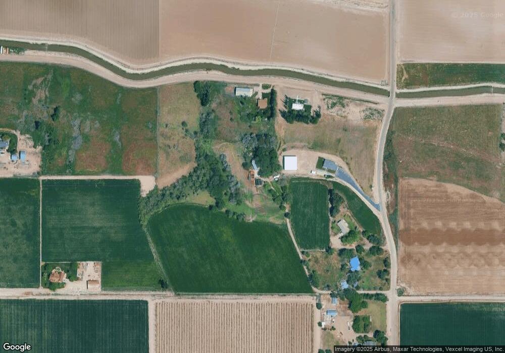
Map
Nearby Homes
- 28754 Idaho 18
- 0 Tbd Stephen Ln
- 23743 Stephen Ln
- 27699 Sand Rd
- 24013 Arena Valley Rd
- 28403 Wamstad Rd
- TBD Hwy 18
- 406 S Roswell Blvd
- 106 N 5th St
- 905 & 908 E Verina Cir
- 905 E Verina Cir
- 26263 U S Route 95
- 1011 E Fisk Ave
- 1001 E Fisk Ave
- 4.8acTBD Chips Ln
- 320 N 11th St
- 325 N 12th St
- 602 N 5th St
- 25701 Clydesdale Ln
- 25889 Clydesdale Ln
- 28135 Canal Rd
- 28089 Canal Rd
- 25357 Wamstad Rd
- 25297 Wamstad Rd
- 25451 Wamstad Rd
- 25251 Wamstad Rd
- 0 Canal Rd Unit 98692454
- 0 Canal Rd Unit 98622768
- 0 Canal Rd Unit 98851375
- 0 Canal Rd Unit 98720281
- 0 Canal Rd Unit 98720105
- 25205 Wamstad Rd
- 25250 Stephen Ln
- 25282 Stephen Ln
- 25280 Stephen Ln
- 28456 Canal Rd
- 25733 Wamstad Rd
- 27797 Canal Rd
- 25660 Stephen Ln
- 25244 Wamstad Rd
Your Personal Tour Guide
Ask me questions while you tour the home.