Estimated Value: $287,000 - $368,444
3
Beds
2
Baths
1,512
Sq Ft
$210/Sq Ft
Est. Value
About This Home
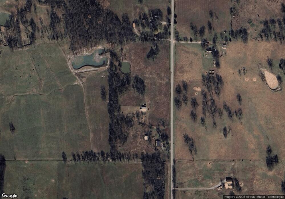
This home is located at 2521 N 439, Pryor, OK 74361 and is currently estimated at $317,611, approximately $210 per square foot. 2521 N 439 is a home located in Mayes County with nearby schools including Pryor Middle School and Pryor High School.
Ownership History
Date
Name
Owned For
Owner Type
Purchase Details
Closed on
Aug 20, 2020
Sold by
Buchanan Willard D and Buchana Mirietues
Bought by
King Daniel Casey and King Erin L
Current Estimated Value
Home Financials for this Owner
Home Financials are based on the most recent Mortgage that was taken out on this home.
Original Mortgage
$204,835
Interest Rate
3%
Mortgage Type
New Conventional
Purchase Details
Closed on
Nov 23, 2017
Sold by
Buchanan Williard Junio and Buchanan Charlotte J
Bought by
The Williard D Buchanan And Mirietues G
Create a Home Valuation Report for This Property
The Home Valuation Report is an in-depth analysis detailing your home's value as well as a comparison with similar homes in the area
Home Values in the Area
Average Home Value in this Area
Purchase History
| Date | Buyer | Sale Price | Title Company |
|---|---|---|---|
| King Daniel Casey | $200,000 | Mayes County Abstract Co | |
| The Williard D Buchanan And Mirietues G | -- | None Available |
Source: Public Records
Mortgage History
| Date | Status | Borrower | Loan Amount |
|---|---|---|---|
| Closed | King Daniel Casey | $204,835 |
Source: Public Records
Tax History Compared to Growth
Tax History
| Year | Tax Paid | Tax Assessment Tax Assessment Total Assessment is a certain percentage of the fair market value that is determined by local assessors to be the total taxable value of land and additions on the property. | Land | Improvement |
|---|---|---|---|---|
| 2024 | $1,989 | $24,560 | $7,110 | $17,450 |
| 2023 | $1,989 | $23,844 | $6,947 | $16,897 |
| 2022 | $1,851 | $23,150 | $6,720 | $16,430 |
| 2021 | $1,897 | $22,476 | $6,720 | $15,756 |
| 2020 | $1,039 | $12,551 | $4,397 | $8,154 |
| 2019 | $1,021 | $11,954 | $4,301 | $7,653 |
| 2018 | $967 | $11,384 | $4,301 | $7,083 |
| 2017 | $777 | $10,842 | $4,337 | $6,505 |
| 2016 | $785 | $10,842 | $2,999 | $7,843 |
| 2015 | $798 | $10,842 | $4,536 | $6,306 |
| 2014 | $798 | $10,842 | $4,536 | $6,306 |
Source: Public Records
Map
Nearby Homes