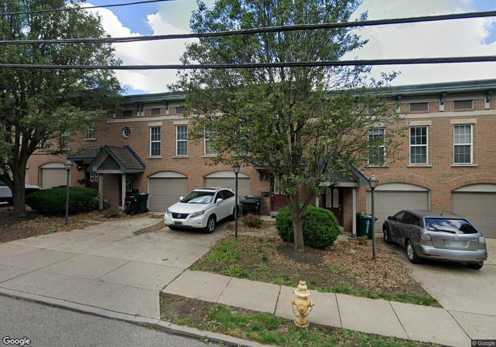
2521 Ravine St Unit 2521 Cincinnati, OH 45219
Clifton NeighborhoodEstimated Value: $279,109 - $312,000
2
Beds
4
Baths
1,528
Sq Ft
$195/Sq Ft
Est. Value
About This Home
This home is located at 2521 Ravine St Unit 2521, Cincinnati, OH 45219 and is currently estimated at $297,277, approximately $194 per square foot. 2521 Ravine St Unit 2521 is a home located in Hamilton County with nearby schools including Clifton Area Neighborhood School, Robert A. Taft Information Technology High School, and Gilbert A. Dater High School.
Ownership History
Date
Name
Owned For
Owner Type
Purchase Details
Closed on
Dec 19, 2025
Sold by
Sbn Llc
Bought by
Uhl William Bradley and Hatton Sueellen
Current Estimated Value
Purchase Details
Closed on
Nov 3, 2011
Sold by
Neill Scott B and Neill Regina R
Bought by
Sbn Llc
Purchase Details
Closed on
Aug 31, 2011
Sold by
Bogard Daniel and Bogard Karen
Bought by
Neill Scott B and Neill Regina R
Home Financials for this Owner
Home Financials are based on the most recent Mortgage that was taken out on this home.
Original Mortgage
$125,625
Interest Rate
4.87%
Mortgage Type
New Conventional
Purchase Details
Closed on
Jul 30, 2007
Sold by
Kesselring Tod and Kesselring Janis
Bought by
Bogard Daniel
Purchase Details
Closed on
Aug 5, 2003
Sold by
Ravine Street Partners Llc
Bought by
Kesselring Tod and Kesselring Janis
Home Financials for this Owner
Home Financials are based on the most recent Mortgage that was taken out on this home.
Original Mortgage
$143,900
Interest Rate
5.62%
Mortgage Type
Unknown
Create a Home Valuation Report for This Property
The Home Valuation Report is an in-depth analysis detailing your home's value as well as a comparison with similar homes in the area
Home Values in the Area
Average Home Value in this Area
Purchase History
| Date | Buyer | Sale Price | Title Company |
|---|---|---|---|
| Uhl William Bradley | $295,000 | None Listed On Document | |
| Uhl William Bradley | $295,000 | None Listed On Document | |
| Sbn Llc | -- | None Available | |
| Sbn Llc | -- | None Available | |
| Neill Scott B | $167,500 | Prodigy Title Agency | |
| Neill Scott B | $167,500 | Prodigy Title Agency | |
| Bogard Daniel | $185,000 | Attorney | |
| Bogard Daniel | $185,000 | Attorney | |
| Kesselring Tod | $179,900 | -- | |
| Kesselring Tod | $179,900 | -- |
Source: Public Records
Mortgage History
| Date | Status | Borrower | Loan Amount |
|---|---|---|---|
| Previous Owner | Neill Scott B | $125,625 | |
| Previous Owner | Kesselring Tod | $143,900 |
Source: Public Records
Tax History
| Year | Tax Paid | Tax Assessment Tax Assessment Total Assessment is a certain percentage of the fair market value that is determined by local assessors to be the total taxable value of land and additions on the property. | Land | Improvement |
|---|---|---|---|---|
| 2025 | $4,352 | $68,674 | $11,550 | $57,124 |
| 2024 | $4,346 | $68,674 | $11,550 | $57,124 |
| 2023 | $4,354 | $68,674 | $11,550 | $57,124 |
| 2022 | $4,195 | $59,518 | $9,800 | $49,718 |
| 2021 | $4,123 | $59,518 | $9,800 | $49,718 |
| 2020 | $4,135 | $59,518 | $9,800 | $49,718 |
| 2019 | $4,542 | $59,518 | $9,800 | $49,718 |
| 2018 | $748 | $59,518 | $9,800 | $49,718 |
| 2017 | $720 | $59,518 | $9,800 | $49,718 |
| 2016 | $673 | $58,625 | $8,925 | $49,700 |
| 2015 | $601 | $58,625 | $8,925 | $49,700 |
| 2014 | $604 | $58,625 | $8,925 | $49,700 |
| 2013 | $615 | $57,190 | $8,925 | $48,265 |
Source: Public Records
Map
Nearby Homes
- 2382 Ravine St
- 513 Tafel St
- 2462 Fairview Ave
- 521 Tafel St
- 507 Tafel St
- 760 Straight St
- 773 Straight St
- 420 Warner St
- 440 Warner St
- 2728 Digby Ave
- 2367 Fairview Ave
- 2863 Marshall Ave
- 2620 Halstead St
- 447 Warner St
- 2616 Halstead St
- 2610 Halstead St
- 1104 Kottmann St
- 255 Warner St
- 2604 Halstead St
- 2608 Halstead St
- 2531 Ravine St
- 2521 Ravine St
- 2517 Ravine St Unit 2517
- 2523 Ravine St Unit 2523
- 2525 Ravine St Unit 2525
- 2527 Ravine St Unit 2527
- 2529 Ravine St Unit 2529
- 2533 Ravine St
- 610 Clemmer Ave Unit 9
- 610 Clemmer Ave Unit 3
- 610 Clemmer Ave Unit 7
- 610 Clemmer Ave Unit 6
- 610 Clemmer Ave Unit 8
- 610 Clemmer Ave Unit 4
- 610 Clemmer Ave Unit 1
- 610 Clemmer Ave Unit 2
- 610 Clemmer Ave Unit 5
- 610 Clemmer Ave
- 2520 Ravine St
- 2522 Ravine St
Your Personal Tour Guide
Ask me questions while you tour the home.