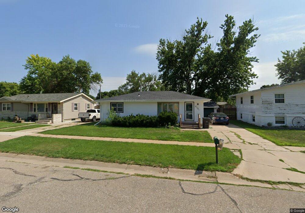
2521 W 9th St Hastings, NE 68901
Estimated Value: $200,000 - $231,000
3
Beds
2
Baths
936
Sq Ft
$224/Sq Ft
Est. Value
About This Home
This home is located at 2521 W 9th St, Hastings, NE 68901 and is currently estimated at $209,248, approximately $223 per square foot. 2521 W 9th St is a home located in Adams County with nearby schools including Hastings Senior High School.
Ownership History
Date
Name
Owned For
Owner Type
Purchase Details
Closed on
Jun 18, 2021
Sold by
Christensen Audrey C and Christensen Brett
Bought by
Wiest Bobbi J
Current Estimated Value
Home Financials for this Owner
Home Financials are based on the most recent Mortgage that was taken out on this home.
Original Mortgage
$171,830
Outstanding Balance
$155,716
Interest Rate
2.96%
Mortgage Type
FHA
Estimated Equity
$53,532
Purchase Details
Closed on
Aug 20, 2018
Sold by
Teetor Denise J
Bought by
Wood Audrey C
Home Financials for this Owner
Home Financials are based on the most recent Mortgage that was taken out on this home.
Original Mortgage
$100,000
Interest Rate
4.5%
Mortgage Type
Purchase Money Mortgage
Create a Home Valuation Report for This Property
The Home Valuation Report is an in-depth analysis detailing your home's value as well as a comparison with similar homes in the area
Home Values in the Area
Average Home Value in this Area
Purchase History
| Date | Buyer | Sale Price | Title Company |
|---|---|---|---|
| Wiest Bobbi J | $175,000 | Adams Land Title Inc | |
| Wood Audrey C | $125,000 | -- |
Source: Public Records
Mortgage History
| Date | Status | Borrower | Loan Amount |
|---|---|---|---|
| Open | Wiest Bobbi J | $171,830 | |
| Previous Owner | Wood Audrey C | $100,000 |
Source: Public Records
Tax History Compared to Growth
Tax History
| Year | Tax Paid | Tax Assessment Tax Assessment Total Assessment is a certain percentage of the fair market value that is determined by local assessors to be the total taxable value of land and additions on the property. | Land | Improvement |
|---|---|---|---|---|
| 2024 | $2,308 | $144,510 | $21,285 | $123,225 |
| 2023 | $2,827 | $137,010 | $21,285 | $115,725 |
| 2022 | $2,774 | $123,171 | $21,285 | $101,886 |
| 2021 | $2,511 | $114,498 | $17,269 | $97,229 |
| 2020 | $2,369 | $109,868 | $17,269 | $92,599 |
| 2019 | $2,198 | $103,009 | $17,269 | $85,740 |
| 2018 | $2,097 | $97,790 | $12,050 | $85,740 |
| 2017 | $2,059 | $96,110 | $0 | $0 |
| 2016 | $1,943 | $90,610 | $12,050 | $78,560 |
| 2011 | -- | $0 | $0 | $0 |
Source: Public Records
Map
Nearby Homes
- 2416 W 9th St
- 2521 Boyce St
- 2501 W 10th St
- 2707 W 9th St
- 2330 W 11th St
- 2229 W 8th St
- 2301 Bateman Ave
- 2616 W 6th St
- 736 N Barnes Ave
- 711 Crane Ave
- 2319 W 5th St
- 1513 Crane Ave
- 1505 Crane Ave
- 401 Sunset Dr
- 2616 Butterfoot Ln
- 1911 W 11th St
- 2708 Edgewood Ln
- 1314 N Laird Ave
- 1814 Boyce St
- 909 Brentwood Ave