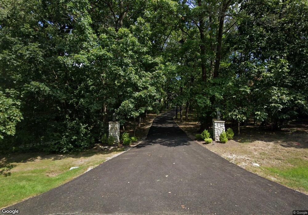
25210 N Pawnee Rd Barrington, IL 60010
Timberlake NeighborhoodEstimated Value: $1,196,000 - $1,620,000
--
Bed
6
Baths
5,499
Sq Ft
$255/Sq Ft
Est. Value
About This Home
This home is located at 25210 N Pawnee Rd, Barrington, IL 60010 and is currently estimated at $1,402,534, approximately $255 per square foot. 25210 N Pawnee Rd is a home located in Lake County with nearby schools including North Barrington Elementary School, Barrington Middle School Station Campus, and Barrington High School.
Ownership History
Date
Name
Owned For
Owner Type
Purchase Details
Closed on
Oct 19, 2004
Sold by
Harris Trust & Savings Bank
Bought by
Farella Joanne R and The Joanne R Farella Trust
Current Estimated Value
Purchase Details
Closed on
Aug 21, 2002
Sold by
Lasalle Bank National Assn
Bought by
Harris Trust & Svgs Bank and Trust #11-3365
Create a Home Valuation Report for This Property
The Home Valuation Report is an in-depth analysis detailing your home's value as well as a comparison with similar homes in the area
Home Values in the Area
Average Home Value in this Area
Purchase History
| Date | Buyer | Sale Price | Title Company |
|---|---|---|---|
| Farella Joanne R | -- | -- | |
| Harris Trust & Svgs Bank | -- | -- |
Source: Public Records
Tax History Compared to Growth
Tax History
| Year | Tax Paid | Tax Assessment Tax Assessment Total Assessment is a certain percentage of the fair market value that is determined by local assessors to be the total taxable value of land and additions on the property. | Land | Improvement |
|---|---|---|---|---|
| 2024 | $22,159 | $369,970 | $39,550 | $330,420 |
| 2023 | $20,771 | $330,832 | $35,366 | $295,466 |
| 2022 | $20,771 | $307,100 | $40,009 | $267,091 |
| 2021 | $20,469 | $301,878 | $39,329 | $262,549 |
| 2020 | $19,980 | $300,945 | $39,207 | $261,738 |
| 2019 | $19,202 | $293,005 | $38,173 | $254,832 |
| 2018 | $21,499 | $335,077 | $46,611 | $288,466 |
| 2017 | $21,259 | $328,346 | $45,675 | $282,671 |
| 2016 | $20,778 | $315,960 | $43,952 | $272,008 |
| 2015 | $19,778 | $296,342 | $41,223 | $255,119 |
| 2014 | $18,954 | $273,374 | $47,022 | $226,352 |
| 2012 | $21,667 | $326,189 | $47,830 | $278,359 |
Source: Public Records
Map
Nearby Homes
- 115 Red Wing Ln
- 96 S Wynstone Dr
- 83 S Wynstone Dr
- 431 Maplewood Dr
- 431 E Oakwood Dr
- 35 Riderwood Rd
- 1 Kensington Dr
- 729 Old Barn Rd Unit C
- 47 S Wynstone Dr
- 12 Riderwood Rd
- 660 Old Barn Rd Unit F-24
- 24334 N Grandview Dr
- 39 Deverell Dr
- 535 Woodview Rd
- 132 N Wynstone Dr Unit W
- 15 S Wynstone Dr
- 294 Mallard Point Unit A
- 68 Thornhill Ln
- 220 Thornhill Ct Unit D
- 111 Stone Marsh Ln
- 25232 N Pawnee Rd
- 25190 N Pawnee Rd
- 406 E Oakwood Dr
- 410 Maplewood Dr
- 408 E Oakwood Dr
- 25240 N Pawnee Rd
- 412 Maplewood Dr
- 25172 N Pawnee Rd
- 25175 N Pawnee Rd
- 25245 N Pawnee Rd
- 25648 W Indian Trail Rd
- 413 W Oakwood Dr
- 416 Maplewood Dr
- 25166 N Pawnee Rd
- 410 E Oakwood Dr
- 24978 E Oakwood Dr
- 404 E Oakwood Dr
- 413 Maplewood Dr
- 25674 W Indian Trail Rd
- 202 N Oakridge Rd