25212 Saint Michaels Rd Saint Michaels, MD 21663
Estimated Value: $517,000 - $657,000
--
Bed
1
Bath
1,071
Sq Ft
$539/Sq Ft
Est. Value
About This Home
This home is located at 25212 Saint Michaels Rd, Saint Michaels, MD 21663 and is currently estimated at $577,051, approximately $538 per square foot. 25212 Saint Michaels Rd is a home located in Talbot County with nearby schools including St. Michaels Elementary School, St. Michaels Middle/High School, and Easton High School.
Ownership History
Date
Name
Owned For
Owner Type
Purchase Details
Closed on
Jun 1, 2007
Sold by
Shortall Ruth Ann
Bought by
Bulli Mini Investments Llc
Current Estimated Value
Purchase Details
Closed on
Nov 29, 2005
Sold by
Shortall James and Shortall Virginia L
Bought by
Shortall Ruth Ann and Nisbet Dianne Marie
Purchase Details
Closed on
Mar 10, 2005
Sold by
Shortall James and Shortall Virginia L
Bought by
Shortall Ruth Ann and Nisbet Dianne Marie
Create a Home Valuation Report for This Property
The Home Valuation Report is an in-depth analysis detailing your home's value as well as a comparison with similar homes in the area
Home Values in the Area
Average Home Value in this Area
Purchase History
| Date | Buyer | Sale Price | Title Company |
|---|---|---|---|
| Bulli Mini Investments Llc | $500,000 | -- | |
| Bulli Mini Investments Llc | $500,000 | -- | |
| Shortall Ruth Ann | -- | -- | |
| Shortall Ruth Ann | -- | -- |
Source: Public Records
Tax History Compared to Growth
Tax History
| Year | Tax Paid | Tax Assessment Tax Assessment Total Assessment is a certain percentage of the fair market value that is determined by local assessors to be the total taxable value of land and additions on the property. | Land | Improvement |
|---|---|---|---|---|
| 2025 | $3,200 | $357,100 | $267,300 | $89,800 |
| 2024 | $3,200 | $350,833 | $0 | $0 |
| 2023 | $2,982 | $344,567 | $0 | $0 |
| 2022 | $2,723 | $338,300 | $267,300 | $71,000 |
| 2021 | $2,513 | $322,000 | $0 | $0 |
| 2020 | $2,331 | $305,700 | $0 | $0 |
| 2019 | $2,210 | $289,400 | $221,000 | $68,400 |
| 2018 | $2,125 | $287,600 | $0 | $0 |
| 2017 | $2,011 | $285,800 | $0 | $0 |
| 2016 | $1,885 | $284,000 | $0 | $0 |
| 2015 | $2,010 | $284,000 | $0 | $0 |
| 2014 | $2,010 | $284,000 | $0 | $0 |
Source: Public Records
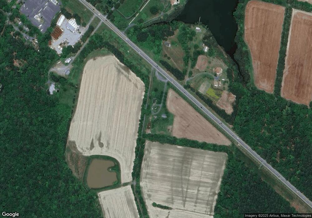
Map
Nearby Homes
- 108 Miles
- 25070 Hurley Ln
- 25028 Maplewood Dr
- 0 Pea Neck Rd Map 32 Parcel 76 Lot 2
- 24977 Back Creek Dr
- 510 Tenant Cir
- 228 Tyler Ave
- 912 Calvert Ave
- 7369 Drum Point Rd
- 807 Radcliff Ave
- 207 Seymour Ave
- Lot 16A Meadow St
- Lot 2 Meadow St
- 204 E Marengo St
- 216 E Chew Ave
- 205 E Chew Ave
- 222 E Chestnut St
- 107 E Chestnut St
- 204 Mulberry St
- 113 Thompson St
- 25202 Saint Michaels Rd
- 7886 Fox Harbour Ln
- 7883 Fox Harbour Ln
- 7900 Fox Harbour Ln
- 25149 Saint Michaels Rd
- 25154 Saint Michaels Rd
- 25084 Hurley Ln
- 25080 Hurley Ln
- 25073 Hurley Ln
- 25152 Saint Michaels Rd
- 7941 Pea Neck Rd
- 1228 S Talbot St
- 25069 Hurley Ln
- 111 Bush Terrace
- 110 Bush Terrace
- 7901 Pea Neck Rd
- 25060 Hurley Ln
- 25063 Hurley Ln
- 106 Bush Terrace
- 108 Bush Terrace