2523 Cannon Farm Trace Duluth, GA 30097
Estimated Value: $654,840 - $713,000
5
Beds
5
Baths
2,942
Sq Ft
$234/Sq Ft
Est. Value
About This Home
This home is located at 2523 Cannon Farm Trace, Duluth, GA 30097 and is currently estimated at $688,710, approximately $234 per square foot. 2523 Cannon Farm Trace is a home located in Gwinnett County with nearby schools including M. H. Mason Elementary School, Hull Middle School, and Peachtree Ridge High School.
Ownership History
Date
Name
Owned For
Owner Type
Purchase Details
Closed on
Apr 23, 2008
Sold by
Rajani Parul H
Bought by
Rajani Parul H and Rajani Harishkumar G
Current Estimated Value
Home Financials for this Owner
Home Financials are based on the most recent Mortgage that was taken out on this home.
Original Mortgage
$256,800
Outstanding Balance
$160,839
Interest Rate
5.84%
Mortgage Type
New Conventional
Estimated Equity
$527,871
Create a Home Valuation Report for This Property
The Home Valuation Report is an in-depth analysis detailing your home's value as well as a comparison with similar homes in the area
Home Values in the Area
Average Home Value in this Area
Purchase History
| Date | Buyer | Sale Price | Title Company |
|---|---|---|---|
| Rajani Parul H | $321,000 | -- | |
| Rajani Parul H | $321,000 | -- |
Source: Public Records
Mortgage History
| Date | Status | Borrower | Loan Amount |
|---|---|---|---|
| Open | Rajani Parul H | $256,800 |
Source: Public Records
Tax History Compared to Growth
Tax History
| Year | Tax Paid | Tax Assessment Tax Assessment Total Assessment is a certain percentage of the fair market value that is determined by local assessors to be the total taxable value of land and additions on the property. | Land | Improvement |
|---|---|---|---|---|
| 2025 | -- | $245,360 | $48,240 | $197,120 |
| 2024 | -- | $230,800 | $50,000 | $180,800 |
| 2023 | $1,680 | $198,560 | $38,000 | $160,560 |
| 2022 | $5,687 | $198,560 | $38,000 | $160,560 |
| 2021 | $5,203 | $161,320 | $32,000 | $129,320 |
| 2020 | $5,241 | $161,320 | $32,000 | $129,320 |
| 2019 | $4,673 | $141,720 | $28,800 | $112,920 |
| 2018 | $4,682 | $141,720 | $28,800 | $112,920 |
| 2016 | $4,536 | $134,960 | $28,800 | $106,160 |
| 2015 | $4,345 | $123,960 | $28,800 | $95,160 |
| 2014 | -- | $118,280 | $28,800 | $89,480 |
Source: Public Records
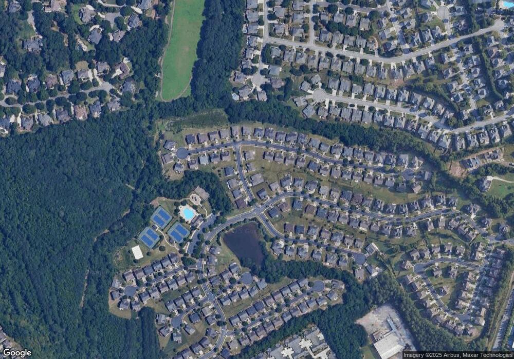
Map
Nearby Homes
- 2491 Cannon Farm Ln
- 2539 Larson Creek Cove
- 2437 Staunton Dr
- 2747 Mount Pleasant Trail
- 2816 Staunton Dr
- 2502 Oak Hill Overlook
- 2578 Worrall Hill Way
- 2568 Gadsen Walk
- 2515 Gadsen Walk
- 2646 Ridge Run Trail
- 2822 Salem Oak Way
- 2061 Meadow Peak Rd
- 2207 Landing Walk Dr
- 2199 Landing Walk Dr
- 2201 Landing Walk Dr
- 2098 Meadow Peak Rd
- 2893 Thurleston Ln
- 2139 Meadow Peak Rd
- 2883 Thurleston Ln
- 2741 Willowstone Dr
- 2533 Cannon Farm Trace
- 2503 Cannon Farm Trace
- 2577 Staunton Dr
- 2588 Cannon Farm Ln
- 2512 Cannon Farm Ln
- 2522 Cannon Farm Ln
- 2543 Cannon Farm Trace
- 2512 Cannon Farm Trace
- 2532 Cannon Farm Trace
- 2502 Cannon Farm Ln
- 2567 Staunton Dr
- 2578 Cannon Farm Ln
- 2628 Cannon Farm Ln
- 2568 Cannon Farm Ln
- 2576 Staunton Dr
- 2586 Staunton Dr
- 2591 Cannon Farm Ln
- 2581 Cannon Farm Ln
- 2571 Cannon Farm Ln
- 2558 Cannon Farm Ln