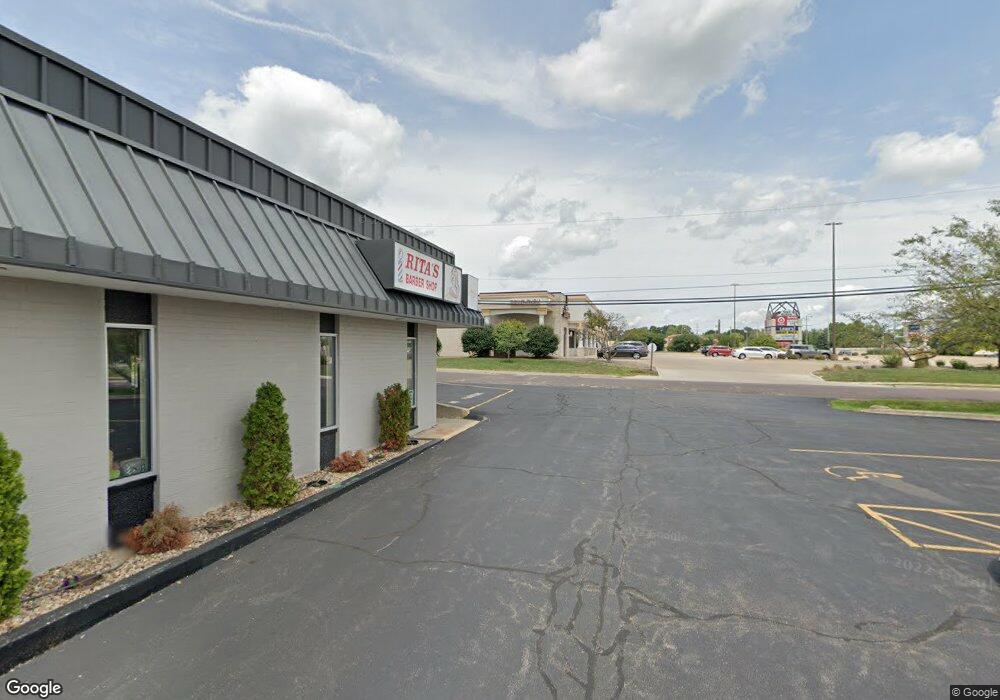
2524 W Farrelly Ave Unit 2 Peoria, IL 61615
North Peoria Neighborhood
--
Bed
--
Bath
13,550
Sq Ft
0.92
Acres
About This Home
This home is located at 2524 W Farrelly Ave Unit 2, Peoria, IL 61615. 2524 W Farrelly Ave Unit 2 is a home located in Peoria County with nearby schools including Dr Maude A Sanders Primary School, Sterling Middle School, and Richwoods High School.
Ownership History
Date
Name
Owned For
Owner Type
Purchase Details
Closed on
Nov 1, 2018
Sold by
Zeller Albert S
Bought by
Avantis Holdings Llc
Home Financials for this Owner
Home Financials are based on the most recent Mortgage that was taken out on this home.
Original Mortgage
$5,102,000
Outstanding Balance
$4,467,744
Interest Rate
4.6%
Mortgage Type
New Conventional
Purchase Details
Closed on
Jun 13, 1988
Bought by
Zeller Albert S
Create a Home Valuation Report for This Property
The Home Valuation Report is an in-depth analysis detailing your home's value as well as a comparison with similar homes in the area
Home Values in the Area
Average Home Value in this Area
Purchase History
| Date | Buyer | Sale Price | Title Company |
|---|---|---|---|
| Avantis Holdings Llc | $1,135,000 | Attorney Only | |
| Avantis Holdings Llc & Series Fa | $1,135,000 | None Listed On Document | |
| Zeller Albert S | $500,000 | -- |
Source: Public Records
Mortgage History
| Date | Status | Borrower | Loan Amount |
|---|---|---|---|
| Open | Avantis Holdings Llc & Series Fa | $5,102,000 | |
| Closed | Avantis Holdings Llc & Series Fa | $2,023,177 |
Source: Public Records
Tax History Compared to Growth
Tax History
| Year | Tax Paid | Tax Assessment Tax Assessment Total Assessment is a certain percentage of the fair market value that is determined by local assessors to be the total taxable value of land and additions on the property. | Land | Improvement |
|---|---|---|---|---|
| 2024 | $26,661 | $294,750 | $118,160 | $176,590 |
| 2023 | $25,442 | $270,410 | $108,400 | $162,010 |
| 2022 | $25,830 | $267,780 | $106,100 | $161,680 |
| 2021 | $26,621 | $267,780 | $106,100 | $161,680 |
| 2020 | $26,832 | $267,780 | $106,100 | $161,680 |
| 2019 | $27,686 | $277,910 | $135,330 | $142,580 |
| 2018 | $27,016 | $277,400 | $135,290 | $142,110 |
| 2017 | $27,013 | $280,210 | $136,660 | $143,550 |
| 2016 | $26,261 | $280,210 | $136,660 | $143,550 |
| 2015 | $25,506 | $274,720 | $133,980 | $140,740 |
| 2014 | $25,202 | $277,080 | $135,280 | $141,800 |
| 2013 | -- | $277,080 | $135,280 | $141,800 |
Source: Public Records
Map
Nearby Homes
- 2627 Eugenie Ave
- 2724 W Scenic Dr
- 2505 W Camille St
- 5003 N Mansfield Dr
- 5225 N Hamilton Rd
- 4808 N Glen Ct
- 5413 N Hamilton Rd
- 5332 N Big Hollow Rd
- 5419 N Renwood Ave
- 1910 W Sunnyview Dr
- 5213 N Merrimac Ave
- 4412 NE Scenic Dr
- 5317 N Woodview Ave
- 2922 W Larchmont Ln
- 1914 W White Oak Dr
- 2910 W Westport Rd
- 4726 N Ridgelawn Place
- 5506 N Longwood Dr
- 4036 N Westport Ct
- 2135 W Orlando Dr
- 2524 W Farrelly Ave Unit B
- 2524 W Farrelly Ave
- 2524 W Farrelly Ave Unit C
- 2604 W Farrelly Ave
- 4749 N Sterling Ave
- 2610 W Farrelly Ave
- 2611 W Eugenia Ave
- 2609 W Farrelly Ave
- 2616 W Farrelly Ave
- 2615 W Eugenia Ave
- 2615 Eugenie Ave
- 2625 W Eugenia Ave
- 2627 W Eugenia Ave
- 2628 W Farrelly Ave
- 2614 W Eugenia Ave
- 4700 N Sterling Ave
- 4700 N Sterling Ave Unit 1
- 2624 W Eugenia Ave
- 2635 W Eugenia Ave
- 2635 Eugenie Ave