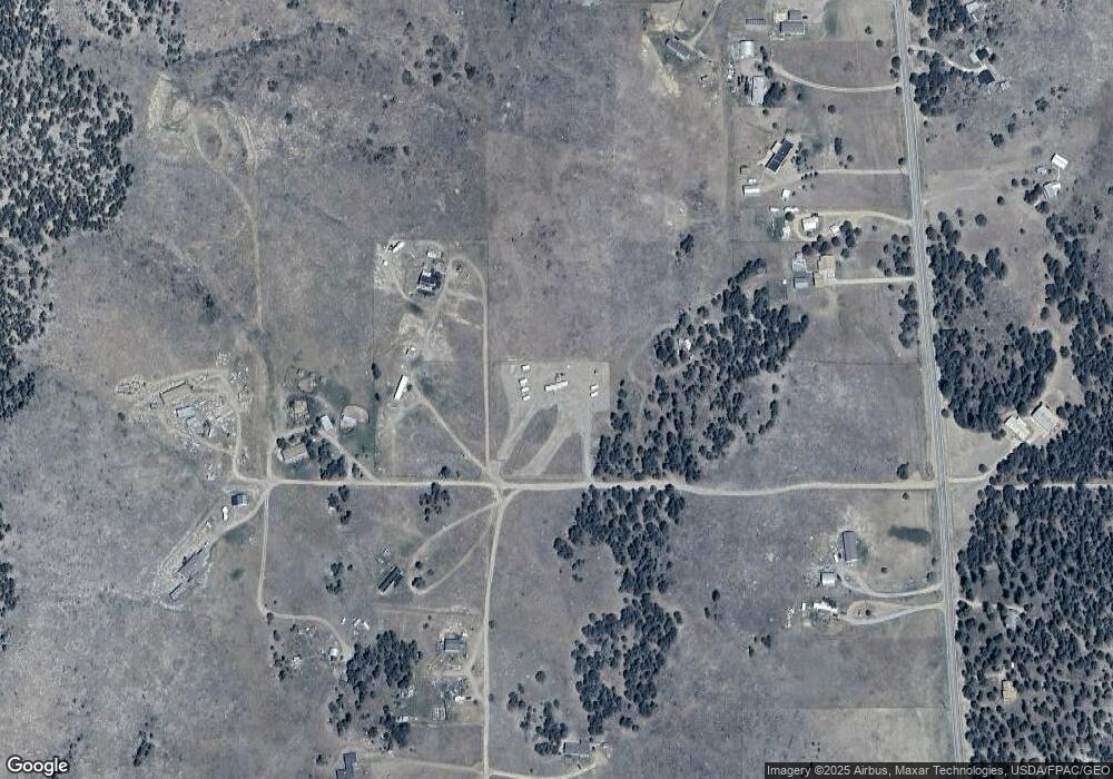
2525 J Path Cotopaxi, CO 81223
Estimated Value: $39,691 - $234,000
2
Beds
1
Bath
780
Sq Ft
$212/Sq Ft
Est. Value
About This Home
This home is located at 2525 J Path, Cotopaxi, CO 81223 and is currently estimated at $165,673, approximately $212 per square foot. 2525 J Path is a home located in Fremont County with nearby schools including Cotopaxi Elementary School and Cotopaxi Junior/Senior High School.
Ownership History
Date
Name
Owned For
Owner Type
Purchase Details
Closed on
Feb 20, 2015
Sold by
Turner Olzie and Turner Alfred
Bought by
Coote Jessica
Current Estimated Value
Purchase Details
Closed on
Jul 14, 2000
Sold by
Sturgeon
Bought by
Turner
Purchase Details
Closed on
Nov 16, 1998
Sold by
Turner
Bought by
Turne
Purchase Details
Closed on
Aug 28, 1995
Sold by
Christenson and Busch
Bought by
Turner
Purchase Details
Closed on
Jan 13, 1992
Sold by
Hendricks
Bought by
Christensen
Create a Home Valuation Report for This Property
The Home Valuation Report is an in-depth analysis detailing your home's value as well as a comparison with similar homes in the area
Purchase History
| Date | Buyer | Sale Price | Title Company |
|---|---|---|---|
| Coote Jessica | $20,000 | Stewart Title | |
| Turner | -- | -- | |
| Turne | -- | -- | |
| Turner | -- | -- | |
| Christensen | $12,000 | -- |
Source: Public Records
Tax History
| Year | Tax Paid | Tax Assessment Tax Assessment Total Assessment is a certain percentage of the fair market value that is determined by local assessors to be the total taxable value of land and additions on the property. | Land | Improvement |
|---|---|---|---|---|
| 2024 | $275 | $5,600 | $0 | $0 |
| 2023 | $72 | $1,483 | $0 | $0 |
| 2022 | $127 | $2,739 | $0 | $0 |
| 2021 | $128 | $2,817 | $0 | $0 |
| 2020 | $103 | $2,300 | $0 | $0 |
| 2019 | $102 | $2,300 | $0 | $0 |
| 2018 | $87 | $1,950 | $0 | $0 |
| 2017 | $87 | $1,950 | $0 | $0 |
| 2016 | $95 | $2,130 | $0 | $0 |
| 2015 | $95 | $2,130 | $0 | $0 |
| 2012 | $98 | $2,377 | $796 | $1,581 |
Source: Public Records
Map
Nearby Homes
- 2125 J Path
- TBD 25th Trail
- 1971 County Road 27a
- TBD County Road 27a
- TBD 24th Trail
- 0 27th Trail
- TBD 27th Trail
- 2825 K Path
- xx 22nd Trail
- 2576 L Path
- 2926 East Path
- 2176 L Path
- 0 30th and H Path
- 912 31st Trail
- 0 21st Trail Unit REC1871091
- 000 K Path
- 739 17th Trail
- 0 Tbd Vacant Land Unit 2517535
- TBD 32nd Trail
- TBD L 32nd Trail
- 987 25th Trail
- 0 Tbd J Path
- TBD 25th Trail
- 938 25th Trail
- 963 25th Trail
- F Path 25th Trail
- 112 25th Trail
- TR 112 25th Trail
- 1015 25th Trail
- 1013 25th Trail
- 2425 J Path
- 1039 25th Trail
- 1591 County Road 27a Unit FRE
- 1591 Cr 27a
- 1591 County Road 27a
- 1591 County Road 27a
- 1643 County Road 27a Unit FRE
- 1643 Cr 27a
- 1629 County Road 27a Unit FRE
- 1629 County Road 27a
