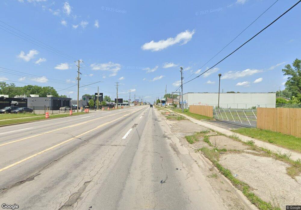
2525 S Dort Hwy Flint, MI 48507
Evergreen Valley NeighborhoodEstimated Value: $170,226
--
Bed
--
Bath
11,599
Sq Ft
$15/Sq Ft
Est. Value
About This Home
This home is located at 2525 S Dort Hwy, Flint, MI 48507 and is currently estimated at $170,226, approximately $14 per square foot. 2525 S Dort Hwy is a home located in Genesee County with nearby schools including Freeman Elementary School, Flint Southwestern Classical Academy, and Flex High Burton.
Ownership History
Date
Name
Owned For
Owner Type
Purchase Details
Closed on
Apr 24, 2024
Sold by
Omega Charities Inc
Bought by
Co1 Estate Investments Llc
Current Estimated Value
Purchase Details
Closed on
Feb 1, 2021
Sold by
Vsio Clara Llc
Bought by
House Of Omega Charities Inc
Purchase Details
Closed on
Nov 13, 2018
Sold by
Rockin Z L L C
Bought by
Viso Clara Llc
Purchase Details
Closed on
Jan 5, 2001
Sold by
Sapardanis James and Sapardanis Tammy
Bought by
Rockin Z Llc
Create a Home Valuation Report for This Property
The Home Valuation Report is an in-depth analysis detailing your home's value as well as a comparison with similar homes in the area
Home Values in the Area
Average Home Value in this Area
Purchase History
| Date | Buyer | Sale Price | Title Company |
|---|---|---|---|
| Co1 Estate Investments Llc | $150,000 | Transnation Title | |
| House Of Omega Charities Inc | -- | None Available | |
| Viso Clara Llc | -- | None Available | |
| Rockin Z Llc | $380,000 | Sargents Title Company |
Source: Public Records
Tax History Compared to Growth
Tax History
| Year | Tax Paid | Tax Assessment Tax Assessment Total Assessment is a certain percentage of the fair market value that is determined by local assessors to be the total taxable value of land and additions on the property. | Land | Improvement |
|---|---|---|---|---|
| 2025 | $5,674 | $84,100 | $0 | $0 |
| 2024 | $5,135 | $83,900 | $0 | $0 |
| 2023 | $4,928 | $93,300 | $0 | $0 |
| 2022 | $0 | $71,200 | $0 | $0 |
| 2021 | $16,826 | $231,200 | $0 | $0 |
| 2020 | $17,957 | $273,000 | $0 | $0 |
| 2019 | $17,168 | $267,400 | $0 | $0 |
| 2018 | $6,299 | $147,200 | $0 | $0 |
| 2017 | $6,090 | $0 | $0 | $0 |
| 2016 | $6,036 | $0 | $0 | $0 |
| 2015 | -- | $0 | $0 | $0 |
| 2014 | -- | $0 | $0 | $0 |
| 2012 | -- | $173,400 | $0 | $0 |
Source: Public Records
Map
Nearby Homes
- 2910 Shawnee Ave
- 2210 S Term St
- 3115 Circle Dr
- 9211 Owen St
- 1937 Chelan St
- 1940 Tebo St
- 3277 Sayre Ct
- 1925 Gilmartin St
- 3505 Comanche Ave
- 1917 Whittlesey St
- 1840 Mcphail St
- 3373 Kent St
- 3614 Comanche Ave
- 1856 Tebo St
- 3608 Providence St
- 1601 Wayne St
- 1856 S Averill Ave
- 3635 Providence St
- 3511 Kent St
- 2221 Howard Ave
- 2418 Mitchell St
- 2502 Mitchell St
- 2501 S Dort Hwy
- 2502 S Dort Hwy
- 2341 S Dort Hwy
- 2730 S Dort Hwy
- 2817 S Dort Hwy
- 2402 S Dort Hwy
- 2211 S Dort Hwy
- 2913 S Dort Hwy
- 1305 Mohawk Ave
- 1301 Mohawk Ave
- 1217 Mohawk Ave
- 1213 Mohawk Ave
- 2250 S Dort Hwy
- 1209 Mohawk Ave
- 1930 Woodslea Dr
- 1302 Mohawk Ave
- 1205 Mohawk Ave
- 1839 Terrace Ct