Estimated Value: $11,004,263
--
Bed
--
Bath
152,186
Sq Ft
$72/Sq Ft
Est. Value
About This Home
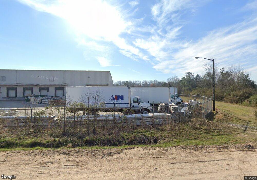
This home is located at 2525 State Highway 365, Alto, GA 30510 and is currently estimated at $11,004,263, approximately $72 per square foot. 2525 State Highway 365 is a home located in Habersham County with nearby schools including Level Grove Elementary School, South Habersham Middle School, and Habersham Success Academy.
Ownership History
Date
Name
Owned For
Owner Type
Purchase Details
Closed on
Dec 30, 2016
Sold by
Taylor Corp
Bought by
Roise Properties Ga Llc
Current Estimated Value
Home Financials for this Owner
Home Financials are based on the most recent Mortgage that was taken out on this home.
Original Mortgage
$4,675,000
Interest Rate
4.08%
Mortgage Type
New Conventional
Create a Home Valuation Report for This Property
The Home Valuation Report is an in-depth analysis detailing your home's value as well as a comparison with similar homes in the area
Home Values in the Area
Average Home Value in this Area
Purchase History
| Date | Buyer | Sale Price | Title Company |
|---|---|---|---|
| Roise Properties Ga Llc | $4,675,000 | -- |
Source: Public Records
Mortgage History
| Date | Status | Borrower | Loan Amount |
|---|---|---|---|
| Closed | Roise Properties Ga Llc | $4,675,000 |
Source: Public Records
Tax History Compared to Growth
Tax History
| Year | Tax Paid | Tax Assessment Tax Assessment Total Assessment is a certain percentage of the fair market value that is determined by local assessors to be the total taxable value of land and additions on the property. | Land | Improvement |
|---|---|---|---|---|
| 2025 | $86,977 | $2,664,913 | $240,933 | $2,423,980 |
| 2024 | $72,054 | $2,776,128 | $304,040 | $2,472,088 |
| 2023 | $56,566 | $2,262,456 | $233,876 | $2,028,580 |
| 2022 | $52,807 | $2,025,192 | $233,876 | $1,791,316 |
| 2021 | $50,905 | $1,961,272 | $233,876 | $1,727,396 |
| 2020 | $46,834 | $1,741,300 | $233,876 | $1,507,424 |
| 2019 | $46,881 | $1,741,300 | $233,876 | $1,507,424 |
| 2018 | $46,515 | $1,741,300 | $233,876 | $1,507,424 |
| 2017 | $45,792 | $1,705,220 | $233,876 | $1,471,344 |
| 2016 | $39,038 | $3,742,880 | $233,876 | $1,263,276 |
| 2015 | $38,580 | $3,742,880 | $233,876 | $1,263,276 |
| 2014 | $39,305 | $3,742,880 | $233,876 | $1,263,276 |
| 2013 | -- | $1,497,152 | $233,876 | $1,263,276 |
Source: Public Records
Map
Nearby Homes
- 738 Wilbanks Rd
- 3568 State Route 365
- 2000 Alto Mud Creek Rd
- 933 Alto Mud Creek Rd
- 140 Highland Pointe Dr
- 752 Dawn Place
- 324 Highland Pointe Dr
- 135 Oak Terrace Dr
- 117 Oak Terrace Dr
- 130 E Railroad Ave
- 3073 Gainesville Hwy
- 0 State Route 365 Unit 10496178
- 0 State Route 365 Unit 10496183
- 1307 Creasy Patch Rd
- 603 Nix Rd
- 179 Sunset Oaks Dr
- 190 Sunset Oaks Dr
- 1246 Duncan Bridge Rd
- 0 Hubert Harris
- 2484 Apple Pie Ridge Rd Unit 11 ACRES
- 202 Luthi Rd
- 126 Anderson Cir Unit 126-318
- 181 Luthi Rd
- 181 Luthi Rd
- 181 Luthi Rd
- 268 Luthi Rd
- 180 Anderson Cir
- 370 Luthi Rd
- 3124 Lingering Shade Dr
- 1071 Thompson Rd
- 467 Thompson Rd
- 473 Thompson Rd
- 3399 Ga Highway 365
- 3399 Georgia 365
- 3399 State Route 365
- 3399 Ga Hwy 365
- 3367 Ga 365
- 275 Sidney Blackburn Rd
- 357 Thompson Rd
- 3399 Ga Hwy