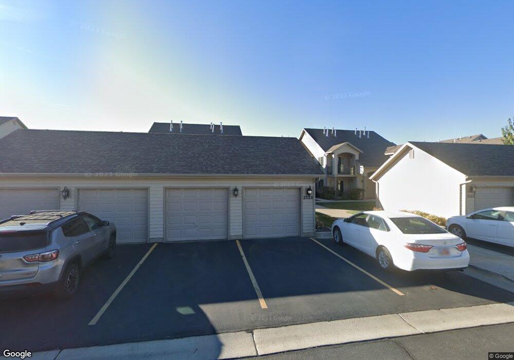
2525 W 450 S Unit 2 Springville, UT 84663
Lakeside NeighborhoodEstimated Value: $325,000 - $334,000
3
Beds
2
Baths
1,321
Sq Ft
$249/Sq Ft
Est. Value
About This Home
This home is located at 2525 W 450 S Unit 2, Springville, UT 84663 and is currently estimated at $329,025, approximately $249 per square foot. 2525 W 450 S Unit 2 is a home located in Utah County with nearby schools including Meadow Brook Elementary School, Springville Junior High School, and Springville High School.
Ownership History
Date
Name
Owned For
Owner Type
Purchase Details
Closed on
Apr 13, 2022
Sold by
Kjersten Dusenberry
Bought by
Earl Derek and Earl Beth
Current Estimated Value
Home Financials for this Owner
Home Financials are based on the most recent Mortgage that was taken out on this home.
Original Mortgage
$280,000
Outstanding Balance
$264,274
Interest Rate
4.72%
Mortgage Type
New Conventional
Estimated Equity
$64,751
Purchase Details
Closed on
Jan 22, 2009
Sold by
Dusenberry Andrew Warren and Dusenberry Kjersten
Bought by
Dusenberry Andrew W and Dusenberry Kjersten
Home Financials for this Owner
Home Financials are based on the most recent Mortgage that was taken out on this home.
Original Mortgage
$169,444
Interest Rate
5.49%
Mortgage Type
FHA
Purchase Details
Closed on
Oct 14, 2008
Sold by
Brookline Properties Lc
Bought by
Dusenberry Andrew Warren and Dusenberry Kjersten
Home Financials for this Owner
Home Financials are based on the most recent Mortgage that was taken out on this home.
Original Mortgage
$167,785
Interest Rate
6.39%
Mortgage Type
FHA
Create a Home Valuation Report for This Property
The Home Valuation Report is an in-depth analysis detailing your home's value as well as a comparison with similar homes in the area
Home Values in the Area
Average Home Value in this Area
Purchase History
| Date | Buyer | Sale Price | Title Company |
|---|---|---|---|
| Earl Derek | -- | Wasatch Land & Title | |
| Dusenberry Andrew W | -- | Title West Title Company | |
| Dusenberry Andrew Warren | -- | Title West Title Company |
Source: Public Records
Mortgage History
| Date | Status | Borrower | Loan Amount |
|---|---|---|---|
| Open | Earl Derek | $280,000 | |
| Previous Owner | Dusenberry Andrew W | $169,444 | |
| Previous Owner | Dusenberry Andrew Warren | $167,785 |
Source: Public Records
Tax History Compared to Growth
Tax History
| Year | Tax Paid | Tax Assessment Tax Assessment Total Assessment is a certain percentage of the fair market value that is determined by local assessors to be the total taxable value of land and additions on the property. | Land | Improvement |
|---|---|---|---|---|
| 2025 | $1,736 | $171,380 | $34,600 | $277,000 |
| 2024 | $1,736 | $172,315 | $0 | $0 |
| 2023 | $1,755 | $175,835 | $0 | $0 |
| 2022 | $1,696 | $166,815 | $0 | $0 |
| 2021 | $1,458 | $223,000 | $26,800 | $196,200 |
| 2020 | $1,418 | $210,300 | $25,200 | $185,100 |
| 2019 | $1,274 | $192,100 | $26,000 | $166,100 |
| 2018 | $1,162 | $167,000 | $20,000 | $147,000 |
| 2017 | $1,087 | $82,885 | $0 | $0 |
| 2016 | $964 | $72,050 | $0 | $0 |
| 2015 | $910 | $69,300 | $0 | $0 |
| 2014 | $903 | $68,200 | $0 | $0 |
Source: Public Records
Map
Nearby Homes
- 2515 W 450 S Unit 6
- 2522 W 500 S Unit 6
- 2480 W 450 S Unit 4
- 2480 W 450 S Unit 5
- 474 S 2550 W Unit 2
- 2465 W 450 S Unit 4
- 2487 W 500 S Unit 5
- 2527 W 500 S Unit 1
- 466 S 2550 W Unit 1
- 2395 W 500 S Unit 3
- 1617 N 300 W
- 1828 W 1065 S
- 1791 W 1200 S Unit 329
- 1765 W 1200 S Unit 202
- 650 E 3600 S
- 1485 W 350 N
- 1197 W 150 S
- 1365 Camlan Ln
- 1468 W 350 N Unit LOT 73
- 1456 W 350 N Unit LOT 72
- 2525 W 450 S Unit 7
- 2525 W 450 S Unit 6
- 2525 W 450 S
- 2525 W 450 S Unit 4
- 2525 W 450 S Unit 3
- 2525 W 450 S Unit 1
- 2525 W 450 S Unit 8
- 2525 W 450 S Unit 5
- 2522 W 500 S
- 2522 W 500 S Unit 7
- 2522 W 500 S
- 2522 W 500 S Unit 8
- 2522 W 500 S Unit 1
- 2522 W 500 S Unit 2
- 2522 W 500 S Unit 4
- 2522 W 500 S Unit 3
- 467 S 2550 W Unit 7
- 467 S 2550 W Unit 6
- 467 S 2550 W
- 467 S 2550 W Unit 4