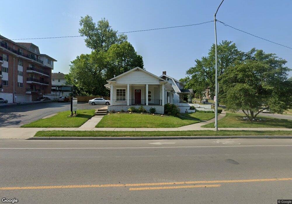
2525 W Bancroft St Unit A Toledo, OH 43607
Ottawa NeighborhoodEstimated Value: $313,824
--
Bed
--
Bath
3,630
Sq Ft
$86/Sq Ft
Est. Value
About This Home
This home is located at 2525 W Bancroft St Unit A, Toledo, OH 43607 and is currently estimated at $313,824, approximately $86 per square foot. 2525 W Bancroft St Unit A is a home located in Lucas County with nearby schools including Old Orchard Elementary School, Start High School, and Central Academy Of Ohio.
Ownership History
Date
Name
Owned For
Owner Type
Purchase Details
Closed on
Feb 23, 1996
Sold by
Hanley Joseph P
Bought by
Whittington Linda
Current Estimated Value
Home Financials for this Owner
Home Financials are based on the most recent Mortgage that was taken out on this home.
Original Mortgage
$68,000
Interest Rate
7.16%
Mortgage Type
Commercial
Purchase Details
Closed on
Jun 21, 1989
Sold by
Geiger Paul E and Geiger Mary
Purchase Details
Closed on
Nov 30, 1988
Create a Home Valuation Report for This Property
The Home Valuation Report is an in-depth analysis detailing your home's value as well as a comparison with similar homes in the area
Home Values in the Area
Average Home Value in this Area
Purchase History
| Date | Buyer | Sale Price | Title Company |
|---|---|---|---|
| Whittington Linda | $78,000 | -- | |
| -- | $92,500 | -- | |
| -- | -- | -- |
Source: Public Records
Mortgage History
| Date | Status | Borrower | Loan Amount |
|---|---|---|---|
| Closed | Whittington Linda | $68,000 |
Source: Public Records
Tax History Compared to Growth
Tax History
| Year | Tax Paid | Tax Assessment Tax Assessment Total Assessment is a certain percentage of the fair market value that is determined by local assessors to be the total taxable value of land and additions on the property. | Land | Improvement |
|---|---|---|---|---|
| 2024 | $2,199 | $46,795 | $5,950 | $40,845 |
| 2023 | $4,066 | $39,480 | $3,955 | $35,525 |
| 2022 | $4,047 | $39,480 | $3,955 | $35,525 |
| 2021 | $4,121 | $39,480 | $3,955 | $35,525 |
| 2020 | $4,348 | $39,235 | $3,780 | $35,455 |
| 2019 | $4,235 | $39,235 | $3,780 | $35,455 |
| 2018 | $4,144 | $39,235 | $3,780 | $35,455 |
| 2017 | $4,083 | $37,380 | $8,890 | $28,490 |
| 2016 | $4,124 | $106,800 | $25,400 | $81,400 |
| 2015 | $4,144 | $106,800 | $25,400 | $81,400 |
| 2014 | $5,247 | $39,350 | $9,350 | $30,000 |
| 2013 | $3,498 | $39,350 | $9,350 | $30,000 |
Source: Public Records
Map
Nearby Homes
- 2547 Greenway St
- 2127 Perth St
- 2019 Kensington Rd
- 2003 Farnham Rd
- 1771 Kensington Rd
- 1735 Perth St
- 2041 Richmond Rd
- 2310 Goddard Rd
- 1423 Roosevelt Ave
- 2627 Latonia Blvd
- 1723 Potomac Dr
- 2679 Latonia Blvd
- 2334 Torrey Hill Dr
- 2340 Torrey Hill Dr
- 1329 Parkside Blvd
- 2541 Goddard Rd
- 2000 Oakwood Ave
- 2716 Powhattan Pkwy
- 1929 Foster Ave
- 2289 Upton Ave
- 2525 W Bancroft St
- 2158 Wyndhurst Rd
- 2150 Wyndhurst Rd
- 2153 Alvin St
- 2149 Alvin St
- 2138 Wyndhurst Rd
- 2140 Wyndhurst Rd
- 2143 Alvin St
- 2143 Alvin St Unit 2
- 2134 Wyndhurst Rd
- 2535 W Bancroft St
- 2445 W Bancroft St
- 2141 Alvin St
- 2130 Wyndhurst Rd
- 2150 Alvin St
- 2152 Alvin St
- 2139 Wyndhurst Rd
- 2146 Alvin St
- 2126 Wyndhurst Rd
- 2135 Alvin St