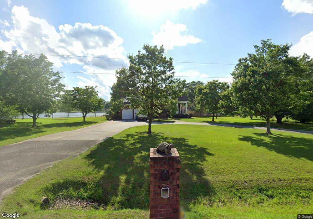
2526 King Dr Darlington, SC 29532
Estimated Value: $347,000 - $447,000
3
Beds
3
Baths
2,450
Sq Ft
$162/Sq Ft
Est. Value
About This Home
This home is located at 2526 King Dr, Darlington, SC 29532 and is currently estimated at $396,480, approximately $161 per square foot. 2526 King Dr is a home located in Darlington County with nearby schools including Pate Elementary School, Brockington Elementary Magnet School, and Darlington Middle School.
Ownership History
Date
Name
Owned For
Owner Type
Purchase Details
Closed on
Jun 26, 2015
Sold by
Sturkie Florence A
Bought by
Smith Byron Trent and Smith Kellie Mclemore
Current Estimated Value
Home Financials for this Owner
Home Financials are based on the most recent Mortgage that was taken out on this home.
Original Mortgage
$245,000
Outstanding Balance
$191,237
Interest Rate
3.89%
Mortgage Type
New Conventional
Estimated Equity
$205,243
Create a Home Valuation Report for This Property
The Home Valuation Report is an in-depth analysis detailing your home's value as well as a comparison with similar homes in the area
Home Values in the Area
Average Home Value in this Area
Purchase History
| Date | Buyer | Sale Price | Title Company |
|---|---|---|---|
| Smith Byron Trent | $270,000 | -- |
Source: Public Records
Mortgage History
| Date | Status | Borrower | Loan Amount |
|---|---|---|---|
| Open | Smith Byron Trent | $245,000 |
Source: Public Records
Tax History Compared to Growth
Tax History
| Year | Tax Paid | Tax Assessment Tax Assessment Total Assessment is a certain percentage of the fair market value that is determined by local assessors to be the total taxable value of land and additions on the property. | Land | Improvement |
|---|---|---|---|---|
| 2024 | $1,485 | $12,420 | $800 | $11,620 |
| 2023 | $2,840 | $11,360 | $800 | $10,560 |
| 2022 | $2,840 | $11,360 | $800 | $10,560 |
| 2021 | $2,840 | $11,360 | $800 | $10,560 |
| 2020 | $1,348 | $11,360 | $800 | $10,560 |
| 2019 | $1,351 | $11,360 | $800 | $10,560 |
| 2018 | $1,250 | $10,800 | $800 | $10,000 |
| 2017 | $1,011 | $10,800 | $800 | $10,000 |
| 2016 | $3,818 | $13,670 | $1,200 | $12,470 |
| 2014 | $772 | $8,920 | $800 | $8,120 |
| 2013 | $439 | $6,360 | $800 | $5,560 |
Source: Public Records
Map
Nearby Homes
- 4313 Carnoustie Ln
- 3046 Southborough Rd
- 4286 Monterey Dr
- Lot 5 Southborough Rd
- 708 Muirfield Place
- 724 Caledonia Ct
- 644 Calumet Ct
- 3703 State Road S-21-1389
- 4169 Rodanthe Cir
- 4165 Rodanthe Cir
- 4145 Rodanthe Cir
- Newlin Plan at Brookshire - Watermill Collection
- Beckman Plan at Brookshire - Watermill Collection
- Lookout Plan at Brookshire - Stonehill Collection
- Idlewood Plan at Brookshire - Stonehill Collection
- Pearce Plan at Brookshire - Watermill Collection
- Woodhaven Plan at Brookshire - Stonehill Collection
- 345 Magna Carta Rd
- 731 Coventry Ln
- 6.6 Acres Corporation Rd
- 2520 King Dr
- 2519 King Dr
- 2519 Blackmon Ln
- 2512 King Dr
- 2513 Blackmon Ln
- 2520 Blackmon Ln
- 2507 King Dr
- 2513 King Dr
- 2540 King Dr
- 2508 King Dr
- 2506 Blackmon Ln
- 2500 King Dr
- 2775 Gray Dr
- 2501 King Dr
- 2501 Blackmon Ln
- 2736 Cunningham Ct
- 2873 Dewitt Cir
- 2879 Dewitt Cir
- 2530 Couture Dr
- 2730 Cunningham Ct