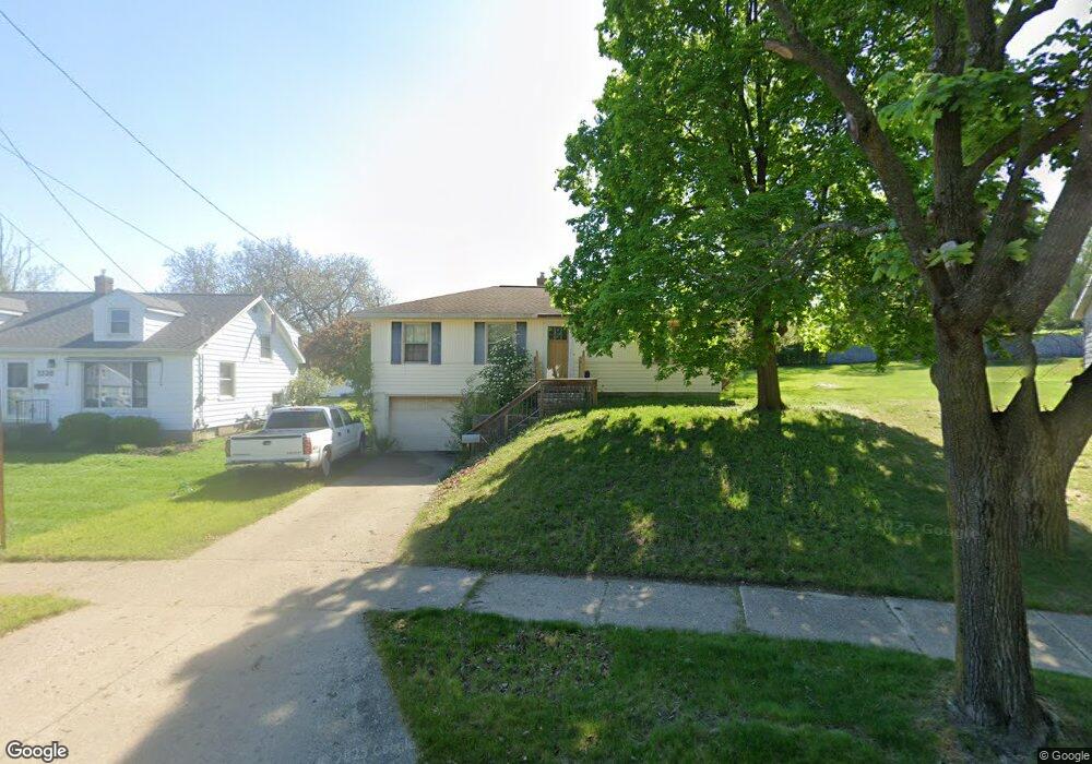
2526 Michael Ave SW Wyoming, MI 49509
Urbandale NeighborhoodEstimated Value: $256,386 - $273,000
3
Beds
1
Bath
1,240
Sq Ft
$214/Sq Ft
Est. Value
About This Home
This home is located at 2526 Michael Ave SW, Wyoming, MI 49509 and is currently estimated at $265,597, approximately $214 per square foot. 2526 Michael Ave SW is a home located in Kent County with nearby schools including Oriole Park Elementary School, Wyoming Intermediate School, and Parkview Elementary School.
Ownership History
Date
Name
Owned For
Owner Type
Purchase Details
Closed on
Apr 28, 2009
Sold by
Haan Theodore
Bought by
Vanbendegom Scott M
Current Estimated Value
Home Financials for this Owner
Home Financials are based on the most recent Mortgage that was taken out on this home.
Original Mortgage
$87,301
Outstanding Balance
$55,099
Interest Rate
4.83%
Mortgage Type
FHA
Estimated Equity
$210,498
Create a Home Valuation Report for This Property
The Home Valuation Report is an in-depth analysis detailing your home's value as well as a comparison with similar homes in the area
Home Values in the Area
Average Home Value in this Area
Purchase History
| Date | Buyer | Sale Price | Title Company |
|---|---|---|---|
| Vanbendegom Scott M | $89,000 | Chicago Title |
Source: Public Records
Mortgage History
| Date | Status | Borrower | Loan Amount |
|---|---|---|---|
| Open | Vanbendegom Scott M | $87,301 |
Source: Public Records
Tax History Compared to Growth
Tax History
| Year | Tax Paid | Tax Assessment Tax Assessment Total Assessment is a certain percentage of the fair market value that is determined by local assessors to be the total taxable value of land and additions on the property. | Land | Improvement |
|---|---|---|---|---|
| 2025 | $1,818 | $108,300 | $0 | $0 |
| 2024 | $1,818 | $100,400 | $0 | $0 |
| 2023 | $1,908 | $84,700 | $0 | $0 |
| 2022 | $1,732 | $77,900 | $0 | $0 |
| 2021 | $1,691 | $72,100 | $0 | $0 |
| 2020 | $1,543 | $66,900 | $0 | $0 |
| 2019 | $1,654 | $58,800 | $0 | $0 |
| 2018 | $1,623 | $52,700 | $0 | $0 |
| 2017 | $1,581 | $45,800 | $0 | $0 |
| 2016 | $1,526 | $41,200 | $0 | $0 |
| 2015 | $1,509 | $41,200 | $0 | $0 |
| 2013 | -- | $38,400 | $0 | $0 |
Source: Public Records
Map
Nearby Homes
- 2517 Newstead Ave SW
- 2621 Doncaster Ave SW
- 2713 Madelyn Dr SW
- 2620 Riley Ave SW
- 818 Aldon St SW
- 2746 Tennyson Dr SW
- 886 Belfield St SW Unit 7
- 2107 Huizen Ave SW
- 2151 Banner Dr SW Unit F
- 2101 Godfrey Ave SW
- 2140 Banner Dr SW
- 2185 Clyde Park Ave SW
- 1260 Cricklewood St SW
- 2050 Arnold Ave SW
- 2541 Noel Ave SW
- 922 Burton St SW
- 1955 Hendricks Ave SW
- 918 Buckingham St SW
- 2812 Longstreet Ave SW
- 1946 Martindale Ave SW
- 2520 Michael Ave SW
- 2532 Michael Ave SW
- 2514 Michael Ave SW
- 2505 Newstead Ave SW
- 2538 Michael Ave SW
- 2501 Newstead Ave SW
- 2508 Michael Ave SW
- 2533 Michael Ave SW
- 2517 Michael Ave SW
- 2463 Newstead Ave SW
- 2466 Michael Ave SW
- 2544 Michael Ave SW
- 2511 Michael Ave SW
- 2545 Michael Ave SW
- 2457 Newstead Ave SW
- 2503 Michael Ave SW
- 2460 Michael Ave SW
- 2552 Michael Ave SW
- 2516 Newstead Ave SW
- 2463 Michael Ave SW