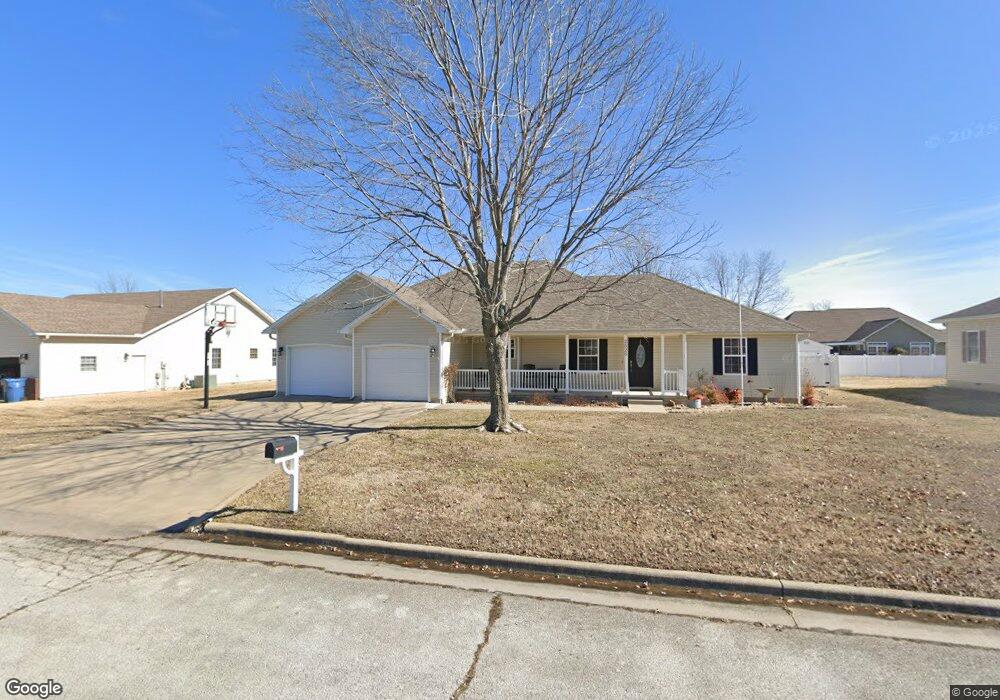
2526 Stephen St Carthage, MO 64836
Estimated Value: $287,806 - $348,000
About This Home
This home is located at 2526 Stephen St, Carthage, MO 64836 and is currently estimated at $307,952, approximately $142 per square foot. 2526 Stephen St is a home located in Jasper County with nearby schools including Carthage High School, St. Ann's Catholic School, and Victory Academy.
Ownership History
We collect this data history from publicly available records. To have your information removed, we recommend requesting removal directly through your county’s website.
Purchase Details
Home Financials for this Owner
Home Financials are based on the most recent Mortgage that was taken out on this home.Purchase Details
Home Values in the Area
Average Home Value in this Area
Purchase History
We collect this data history from publicly available records. To have your information removed, we recommend requesting removal directly through your county’s website.
| Date | Buyer | Sale Price | Title Company |
|---|---|---|---|
| -- | Cb Title Inc | ||
| -- | -- |
Mortgage History
We collect this data history from publicly available records. To have your information removed, we recommend requesting removal directly through your county’s website.
| Date | Status | Borrower | Loan Amount |
|---|---|---|---|
| Open | $109,000 |
Tax History
We collect this data history from publicly available records. To have your information removed, we recommend requesting removal directly through your county’s website.
| Year | Tax Paid | Tax Assessment Tax Assessment Total Assessment is a certain percentage of the fair market value that is determined by local assessors to be the total taxable value of land and additions on the property. | Land | Improvement |
|---|---|---|---|---|
| 2025 | $1,496 | $32,700 | $3,920 | $28,780 |
| 2024 | $1,496 | $29,060 | $3,920 | $25,140 |
| 2023 | $1,496 | $29,060 | $3,920 | $25,140 |
| 2022 | $1,615 | $31,470 | $3,920 | $27,550 |
| 2021 | $1,597 | $31,470 | $3,920 | $27,550 |
| 2020 | $1,536 | $29,010 | $3,920 | $25,090 |
| 2019 | $1,539 | $29,010 | $3,920 | $25,090 |
| 2018 | $1,491 | $28,170 | $0 | $0 |
| 2017 | $1,494 | $28,170 | $0 | $0 |
| 2016 | $1,414 | $26,740 | $0 | $0 |
| 2015 | $1,307 | $26,740 | $0 | $0 |
| 2014 | $1,307 | $26,740 | $0 | $0 |
Map
- 2505 S River St
- 000 Lexie Ln
- TBD Lexie Ln
- TBD George E Phelps Blvd
- 742 Sheridan St
- XXXX Clinton
- 908 Gene Taylor Dr
- Tract 1 E Fir Rd Unit 146014000000014000
- Tract 2 E Fir Rd Unit 146014000000014000
- Tract 1 E Fir Rd
- Tract 3 E Fir Rd
- Tract 3 E Fir Rd Unit 146014000000014000
- Tract 2 E Fir Rd
- Tract 4 E Fir Rd Unit 146014000000014000
- Tract 4 E Fir Rd
- 2206 Benjamin Dr
- 2043 S Grand Ave
- 1342 Patrick Place
- 1925 Wynwood Dr
- 1910 Wynwood Dr
- 2534 Stephen St
- 2518 Stephen St
- 2525 Theo St
- 2517 Theo St
- 2533 Theo St
- 2527 Stephen St
- 2519 Stephen St
- 2519 Stephen St Unit 1
- 2535 Stephen St
- 2508 Stephen St
- 2542 Stephen St
- 2509 Theo St
- 2543 Theo St
- 2543 Stephen St
- 2509 Stephen St
- 2526 Jonathan St
- 2448 Stephen St
- 2526 Theo St
- 2518 Jonathan St
- 2534 Theo St
Ask me questions while you tour the home.