2527 Road A NE Moses Lake, WA 98837
Estimated Value: $441,000 - $561,000
5
Beds
2
Baths
1,613
Sq Ft
$313/Sq Ft
Est. Value
About This Home
This home is located at 2527 Road A NE, Moses Lake, WA 98837 and is currently estimated at $505,563, approximately $313 per square foot. 2527 Road A NE is a home with nearby schools including Peninsula Elementary School, Frontier Middle School, and Moses Lake High School.
Ownership History
Date
Name
Owned For
Owner Type
Purchase Details
Closed on
Mar 28, 2014
Sold by
Habitat For Humanity Of Greater Moses La
Bought by
Roloff Darrel David and Roloff Tammera Jannine
Current Estimated Value
Home Financials for this Owner
Home Financials are based on the most recent Mortgage that was taken out on this home.
Original Mortgage
$138,855
Outstanding Balance
$105,197
Interest Rate
4.25%
Mortgage Type
Seller Take Back
Estimated Equity
$400,366
Purchase Details
Closed on
Jul 8, 2013
Sold by
Rogers Lawrence Joseph
Bought by
Habitat For Humanity Greater Moses Lake
Create a Home Valuation Report for This Property
The Home Valuation Report is an in-depth analysis detailing your home's value as well as a comparison with similar homes in the area
Home Values in the Area
Average Home Value in this Area
Purchase History
| Date | Buyer | Sale Price | Title Company |
|---|---|---|---|
| Roloff Darrel David | $156,310 | Stewart Title | |
| Habitat For Humanity Greater Moses Lake | -- | Accommodation |
Source: Public Records
Mortgage History
| Date | Status | Borrower | Loan Amount |
|---|---|---|---|
| Open | Roloff Darrel David | $138,855 |
Source: Public Records
Tax History Compared to Growth
Tax History
| Year | Tax Paid | Tax Assessment Tax Assessment Total Assessment is a certain percentage of the fair market value that is determined by local assessors to be the total taxable value of land and additions on the property. | Land | Improvement |
|---|---|---|---|---|
| 2024 | $4,065 | $369,325 | $52,500 | $316,825 |
| 2023 | $4,154 | $218,745 | $43,445 | $175,300 |
| 2022 | $2,607 | $218,745 | $43,445 | $175,300 |
| 2021 | $2,474 | $218,745 | $43,445 | $175,300 |
| 2020 | $2,489 | $201,845 | $43,445 | $158,400 |
| 2019 | $2,501 | $188,255 | $30,450 | $157,805 |
| 2018 | $2,913 | $187,490 | $30,450 | $157,040 |
| 2017 | $2,506 | $173,215 | $30,450 | $142,765 |
| 2016 | $2,129 | $144,040 | $30,450 | $113,590 |
| 2013 | -- | $29,000 | $29,000 | $0 |
Source: Public Records
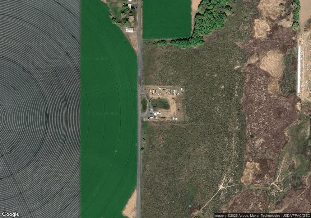
Map
Nearby Homes
- 7 Road 3 NE
- 0 Road 3 NE
- 1448 Road c NE
- 2 Road 5 NW
- 215 Desert Hills Loop SE
- 329 Desert Hills Loop SE
- 595 Desert Hills Loop SE
- 452 Desert Hills Loop SE
- 0 NNA NW Parcel 315035000 Rd
- 2997 NE D 9 Rd
- 0 NNA NW Parcel 160358000 Rd
- 3623 Dodson Rd NW
- 3579 Dodson Rd NW
- 0 Parcel 161398000 NE Unit NWM2163056
- 3095 Road E.5 NE
- 0 NNA Stonecrest Rd NE
- 4159 Road 6 NE
- 4748 W Thrush St
- 4749 W Thrush St
- 4745 W Thrush St