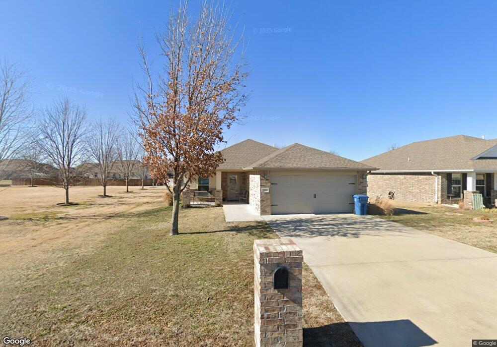
2527 S River St Carthage, MO 64836
Estimated Value: $230,000 - $250,971
3
Beds
2
Baths
1,350
Sq Ft
$178/Sq Ft
Est. Value
About This Home
This home is located at 2527 S River St, Carthage, MO 64836 and is currently estimated at $240,243, approximately $177 per square foot. 2527 S River St is a home located in Jasper County with nearby schools including Carthage High School, St. Ann's Catholic School, and Victory Academy.
Ownership History
Date
Name
Owned For
Owner Type
Purchase Details
Closed on
Oct 16, 2023
Sold by
Robinson Bernice
Bought by
Robinson Bernice and Robinson Stephen C
Current Estimated Value
Purchase Details
Closed on
Mar 30, 2023
Sold by
Whitehead Zachary A
Bought by
Robinson Bernice D
Home Financials for this Owner
Home Financials are based on the most recent Mortgage that was taken out on this home.
Original Mortgage
$172,800
Interest Rate
6.32%
Mortgage Type
New Conventional
Purchase Details
Closed on
Aug 13, 2018
Sold by
Schuber Mitchell Homs Llc
Bought by
Whitehead Zachary A
Create a Home Valuation Report for This Property
The Home Valuation Report is an in-depth analysis detailing your home's value as well as a comparison with similar homes in the area
Home Values in the Area
Average Home Value in this Area
Purchase History
| Date | Buyer | Sale Price | Title Company |
|---|---|---|---|
| Robinson Bernice | -- | None Listed On Document | |
| Robinson Bernice D | -- | First American Title | |
| Whitehead Zachary A | -- | -- |
Source: Public Records
Mortgage History
| Date | Status | Borrower | Loan Amount |
|---|---|---|---|
| Previous Owner | Robinson Bernice D | $172,800 |
Source: Public Records
Tax History Compared to Growth
Tax History
| Year | Tax Paid | Tax Assessment Tax Assessment Total Assessment is a certain percentage of the fair market value that is determined by local assessors to be the total taxable value of land and additions on the property. | Land | Improvement |
|---|---|---|---|---|
| 2025 | $1,350 | $29,650 | $2,690 | $26,960 |
| 2024 | $1,350 | $26,230 | $2,690 | $23,540 |
| 2023 | $1,350 | $26,230 | $2,690 | $23,540 |
| 2022 | $1,381 | $26,920 | $2,690 | $24,230 |
| 2021 | $1,366 | $26,920 | $2,690 | $24,230 |
| 2020 | $1,312 | $24,780 | $2,690 | $22,090 |
| 2019 | $1,314 | $24,780 | $2,690 | $22,090 |
Source: Public Records
Map
Nearby Homes
- NE COR Airport Dr & River
- TBD Lexie Ln
- TBD George E Phelps Blvd
- 739 Sheridan St
- 2512 Holman Ct
- 1004 Gene Taylor Dr
- 839 Modern Way
- 925 Gene Taylor Dr
- 909 Durward Hall Dr
- 1211 E Airport Dr
- 837 Modern Way
- XXXX Clinton
- 2206 Benjamin Dr
- 1341 E Airport Dr
- 2141 Carrie St
- 1922 Southwood Ln
- 1823 S River St
- TBD Annie Baxter & George Phelps Ave
- 1106 Southern Hills
- 3197 S Grand Ave