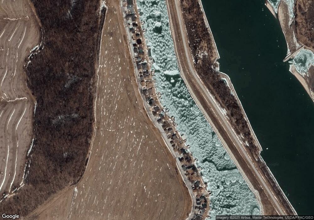
Estimated Value: $358,000 - $399,000
1
Bed
1
Bath
1,048
Sq Ft
$361/Sq Ft
Est. Value
About This Home
This home is located at 2527 W Shore Dr, Union, NE 68455 and is currently estimated at $378,147, approximately $360 per square foot. 2527 W Shore Dr is a home located in Cass County with nearby schools including Conestoga Elementary School and Conestoga Junior/Senior High School.
Ownership History
Date
Name
Owned For
Owner Type
Purchase Details
Closed on
Mar 23, 2010
Sold by
West John N
Bought by
West John N
Current Estimated Value
Purchase Details
Closed on
Mar 19, 2010
Sold by
West John N
Bought by
West John Norris(Ttee Of
Purchase Details
Closed on
Oct 21, 2004
Sold by
West John N and West Catherine S
Bought by
West John N and West Catherine S
Purchase Details
Closed on
Sep 21, 2004
Sold by
West John Norris
Bought by
West John Norris
Purchase Details
Closed on
Jul 6, 2004
Sold by
West Alroy G
Bought by
West Alroy G
Create a Home Valuation Report for This Property
The Home Valuation Report is an in-depth analysis detailing your home's value as well as a comparison with similar homes in the area
Home Values in the Area
Average Home Value in this Area
Purchase History
| Date | Buyer | Sale Price | Title Company |
|---|---|---|---|
| West John N | -- | -- | |
| West John Norris(Ttee Of | -- | -- | |
| West John N | -- | -- | |
| West John Norris | -- | -- | |
| West Alroy G | -- | -- |
Source: Public Records
Tax History Compared to Growth
Tax History
| Year | Tax Paid | Tax Assessment Tax Assessment Total Assessment is a certain percentage of the fair market value that is determined by local assessors to be the total taxable value of land and additions on the property. | Land | Improvement |
|---|---|---|---|---|
| 2024 | $7,797 | $287,285 | $140,840 | $146,445 |
| 2023 | $7,466 | $265,140 | $122,500 | $142,640 |
| 2022 | $7,510 | $259,393 | $128,625 | $130,768 |
| 2021 | $6,556 | $218,805 | $98,000 | $120,805 |
| 2020 | $6,252 | $206,214 | $91,140 | $115,074 |
| 2019 | $5,785 | $214,165 | $81,648 | $132,517 |
| 2018 | $5,289 | $198,301 | $75,600 | $122,701 |
| 2017 | $4,937 | $183,612 | $70,000 | $113,612 |
| 2016 | $4,818 | $183,612 | $70,000 | $113,612 |
| 2015 | $4,804 | $183,612 | $70,000 | $113,612 |
| 2014 | $5,309 | $183,612 | $70,000 | $113,612 |
Source: Public Records
Map
Nearby Homes
- 2401 W Shore Dr
- 2109 W Shore Dr
- 2204 Splitt Dr
- 1231 Western Ave
- 21 the Wilds Rv Assoc at Bartlett Shores Unit Lot
- 42 the Wilds Rv Park Unit Lot
- 61 the Wilds Rv Park Unit Lot
- 2425 Jefferson Rd
- 2706 Jefferson Ct
- 67729 195th St
- 8517 Pawnee Ln
- 1714 Murray Rd
- 2000 Murray Rd
- 1940 Murray Rd
- 1948 Murray Rd
- 1928 Murray Rd
- 1910 Murray Rd
- 8616 Emerson Rd
- 8800 Riverdale Rd
- 8503 Eagle Point
- 2523 W Shore Dr
- 2531 W Shore Dr
- 2519 W Shore Dr
- 2535 W Shore Dr
- 2517 W Shore Dr
- 2539 W Shore Dr
- 2513 W Shore Dr
- 2543 W Shore Dr
- 2547 W Shore Dr
- 2505 W Shore Dr
- 2501 W Shore Dr
- 2555 W Shore Dr
- 2497 W Shore Dr
- 2557 W Shore Dr
- 2493 W Shore Dr
- 2561 W Shore Dr
- 2489 W Shore Dr
- 2565 W Shore Dr
- 2487 W Shore Dr
- 2569 W Shore Dr
