2528 Aggregate Ct Placerville, CA 95667
Estimated Value: $468,239 - $518,000
3
Beds
2
Baths
1,688
Sq Ft
$292/Sq Ft
Est. Value
About This Home
This home is located at 2528 Aggregate Ct, Placerville, CA 95667 and is currently estimated at $492,310, approximately $291 per square foot. 2528 Aggregate Ct is a home located in El Dorado County with nearby schools including El Dorado High School, Country Day Montessori, and El Dorado Adventist School.
Ownership History
Date
Name
Owned For
Owner Type
Purchase Details
Closed on
Jun 17, 2014
Sold by
Smith Michael R
Bought by
The Michael R Smith Sr Trust
Current Estimated Value
Purchase Details
Closed on
Nov 1, 1995
Sold by
Smith Michael Richard and Smith Ramona Helen
Bought by
The Michael R Smith Sr Family Trust
Create a Home Valuation Report for This Property
The Home Valuation Report is an in-depth analysis detailing your home's value as well as a comparison with similar homes in the area
Home Values in the Area
Average Home Value in this Area
Purchase History
| Date | Buyer | Sale Price | Title Company |
|---|---|---|---|
| The Michael R Smith Sr Trust | -- | None Available | |
| The Michael R Smith Sr Family Trust | -- | Chicago Title Co |
Source: Public Records
Tax History
| Year | Tax Paid | Tax Assessment Tax Assessment Total Assessment is a certain percentage of the fair market value that is determined by local assessors to be the total taxable value of land and additions on the property. | Land | Improvement |
|---|---|---|---|---|
| 2025 | $2,867 | $282,378 | $74,734 | $207,644 |
| 2024 | $2,867 | $276,842 | $73,269 | $203,573 |
| 2023 | $2,832 | $271,415 | $71,833 | $199,582 |
| 2022 | $2,791 | $266,094 | $70,425 | $195,669 |
| 2021 | $2,758 | $260,878 | $69,045 | $191,833 |
| 2020 | $2,716 | $258,204 | $68,338 | $189,866 |
| 2019 | $2,682 | $253,143 | $66,999 | $186,144 |
| 2018 | $2,600 | $248,181 | $65,686 | $182,495 |
| 2017 | $2,560 | $243,316 | $64,399 | $178,917 |
| 2016 | $2,520 | $238,546 | $63,137 | $175,409 |
| 2015 | $2,403 | $234,965 | $62,190 | $172,775 |
| 2014 | $2,403 | $230,365 | $60,973 | $169,392 |
Source: Public Records
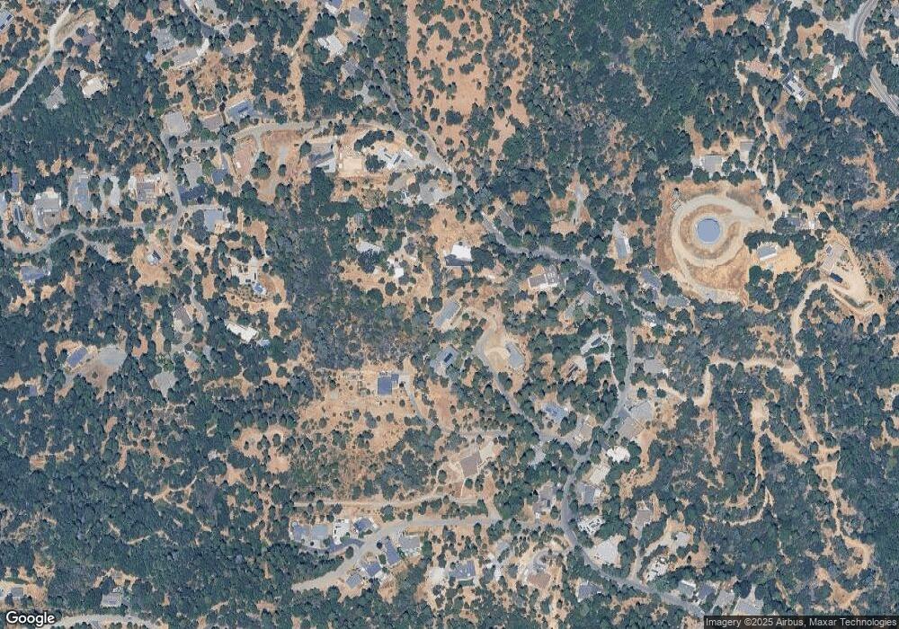
Map
Nearby Homes
- 1017 Utah Dr
- 1012 Utah Dr
- 1008 Utah Dr
- 2655 Mona Dr
- 1002 Utah Dr
- 1000 Utah Dr
- 2940 Anderson Way
- 945 Crawford Drift Ct
- 944 Crawford Drift Ct
- 2624 Liberty Mine Ct
- 2725 Clay St
- 9425 Mosquito Rd
- 2532 Golden Eagle Dr
- 2921 Miller Way
- 2603 Kereka Ct
- 2095 Wild Goose Canyon Rd
- 1344 Village Ln
- 918 Woodpecker Ct
- 678 Main St
- 2399 Kingsgate Rd
- 2516 Aggregate Ct
- 2520 Morrene Dr
- 2517 Aggregate Ct
- 2540 Morrene Dr
- 2496 Morrene Dr
- 2531 Morrene Dr
- 2500 Morrene Dr
- 2550 Morrene Dr
- 1191 Aggregate Way
- 1186 Aggregate Way
- 2580 Morrene Dr
- 2539 Morrene Dr
- 2590 Morrene Dr
- 1418 Giovanni Dr
- 2480 Morrene Dr
- 1195 Aggregate Way
- 1182 Aggregate Way
- 1192 Aggregate Way
- 2450 Morrene Dr
- 2543 Morrene Dr
Your Personal Tour Guide
Ask me questions while you tour the home.