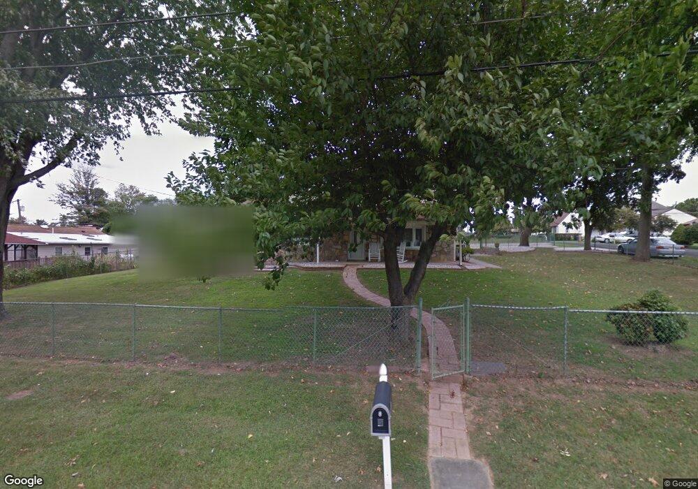
2528 Atlantic Ave Bensalem, PA 19020
Estimated Value: $490,000 - $548,000
4
Beds
2
Baths
2,520
Sq Ft
$207/Sq Ft
Est. Value
About This Home
This home is located at 2528 Atlantic Ave, Bensalem, PA 19020 and is currently estimated at $522,704, approximately $207 per square foot. 2528 Atlantic Ave is a home located in Bucks County with nearby schools including Robert K. Shafer Middle School, School Lane Charter School, and Mast Community Charter School.
Ownership History
Date
Name
Owned For
Owner Type
Purchase Details
Closed on
Jul 31, 2008
Sold by
Schlegel George C and Schlegel Carol
Bought by
White Keith A
Current Estimated Value
Home Financials for this Owner
Home Financials are based on the most recent Mortgage that was taken out on this home.
Original Mortgage
$239,000
Outstanding Balance
$159,608
Interest Rate
6.69%
Mortgage Type
Purchase Money Mortgage
Estimated Equity
$363,096
Purchase Details
Closed on
Aug 15, 1972
Bought by
Schlegel George C and Schlegel Carol A
Create a Home Valuation Report for This Property
The Home Valuation Report is an in-depth analysis detailing your home's value as well as a comparison with similar homes in the area
Home Values in the Area
Average Home Value in this Area
Purchase History
| Date | Buyer | Sale Price | Title Company |
|---|---|---|---|
| White Keith A | $325,000 | None Available | |
| Schlegel George C | -- | -- |
Source: Public Records
Mortgage History
| Date | Status | Borrower | Loan Amount |
|---|---|---|---|
| Open | White Keith A | $239,000 |
Source: Public Records
Tax History Compared to Growth
Tax History
| Year | Tax Paid | Tax Assessment Tax Assessment Total Assessment is a certain percentage of the fair market value that is determined by local assessors to be the total taxable value of land and additions on the property. | Land | Improvement |
|---|---|---|---|---|
| 2025 | $5,680 | $26,020 | $5,680 | $20,340 |
| 2024 | $5,680 | $26,020 | $5,680 | $20,340 |
| 2023 | $5,520 | $26,020 | $5,680 | $20,340 |
| 2022 | $5,488 | $26,020 | $5,680 | $20,340 |
| 2021 | $5,488 | $26,020 | $5,680 | $20,340 |
| 2020 | $5,433 | $26,020 | $5,680 | $20,340 |
| 2019 | $5,311 | $26,020 | $5,680 | $20,340 |
| 2018 | $5,188 | $26,020 | $5,680 | $20,340 |
| 2017 | $5,156 | $26,020 | $5,680 | $20,340 |
| 2016 | $5,156 | $26,020 | $5,680 | $20,340 |
| 2015 | -- | $26,020 | $5,680 | $20,340 |
| 2014 | -- | $26,020 | $5,680 | $20,340 |
Source: Public Records
Map
Nearby Homes
- 2645 Knights Rd
- 2191 Dunksferry Rd
- 2866 Wine Ave
- 3535 Teton Rd
- 3402 Orion Rd
- 3422 Orion Rd
- 12706 Hollins Rd
- 3346 Gurley Rd
- 3318 Gurley Rd
- 12673 Biscayne Dr
- 12626 Knights Place
- 12614 Biscayne Dr
- 3413 Lester Rd
- 3719 Academy Rd
- 12603 Biscayne Dr
- 12718 Elnora Rd
- 3655 Academy Rd
- 12705 Medford Rd
- 12791 Dunks Ferry Rd
- 12789 Dunks Ferry Rd
- 2257 Tulip Ave
- 2266 Monroe Ave
- 2259 Tulip Ave
- 2263 Tulip Ave
- 2245 Monroe Ave
- 2257 Monroe Ave
- 2527 Atlantic Ave
- 2537 Atlantic Ave
- 2527 Knights Rd
- 2265 Monroe Ave
- 2517 Atlantic Ave
- 2547 Atlantic Ave
- 2256 Tulip Ave
- 2265 Tulip Ave
- 2258 Tulip Ave
- 2275 Monroe Ave
- 2564 Atlantic Ave
- 2513 Knights Rd
- 2246 Monroe Ave
- 2559 Atlantic Ave