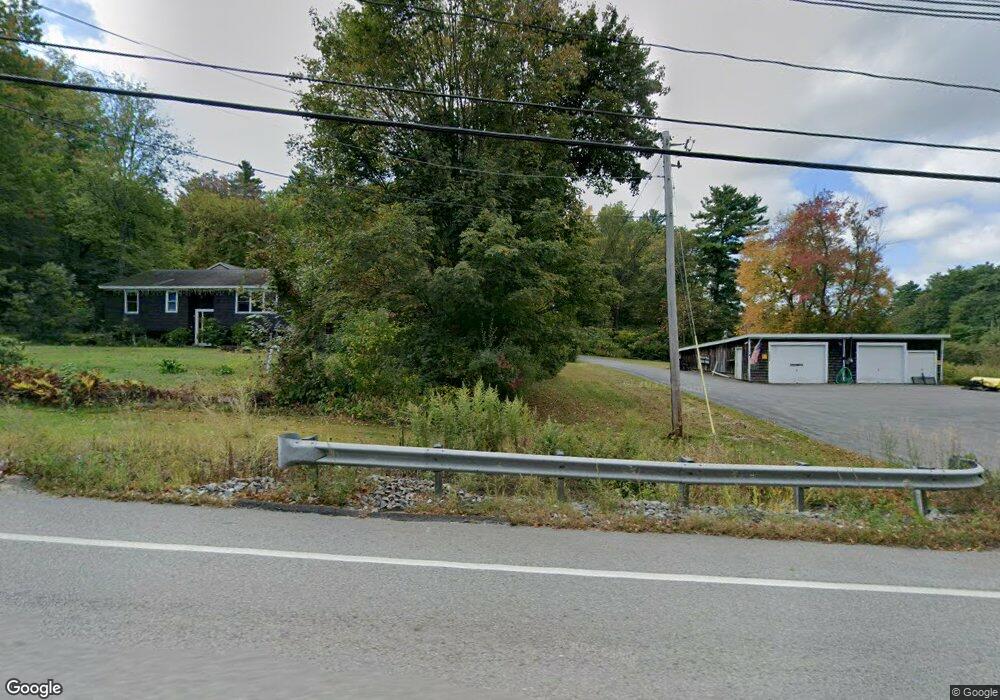
2528 Main St Lancaster, MA 01523
Estimated Value: $638,000 - $973,000
3
Beds
3
Baths
1,840
Sq Ft
$402/Sq Ft
Est. Value
About This Home
This home is located at 2528 Main St, Lancaster, MA 01523 and is currently estimated at $739,467, approximately $401 per square foot. 2528 Main St is a home located in Worcester County with nearby schools including Mary Rowlandson Elementary School, Luther Burbank Middle School, and Nashoba Regional High School.
Ownership History
Date
Name
Owned For
Owner Type
Purchase Details
Closed on
Sep 7, 2023
Sold by
Moulton Timothy C
Bought by
Moulton Timothy C
Current Estimated Value
Purchase Details
Closed on
Nov 18, 2011
Sold by
Jodry Laura L
Bought by
Moulton Timothy C
Home Financials for this Owner
Home Financials are based on the most recent Mortgage that was taken out on this home.
Original Mortgage
$287,850
Interest Rate
3.75%
Mortgage Type
FHA
Purchase Details
Closed on
Jan 14, 2011
Sold by
Dedham Inst For Svgs
Bought by
Jodry Laura L
Home Financials for this Owner
Home Financials are based on the most recent Mortgage that was taken out on this home.
Original Mortgage
$200,000
Interest Rate
4.46%
Mortgage Type
Purchase Money Mortgage
Create a Home Valuation Report for This Property
The Home Valuation Report is an in-depth analysis detailing your home's value as well as a comparison with similar homes in the area
Home Values in the Area
Average Home Value in this Area
Purchase History
We collect this data history from publicly available records. To have your information removed, we recommend requesting removal directly through your county’s website.
| Date | Buyer | Sale Price | Title Company |
|---|---|---|---|
| Moulton Timothy C | -- | None Available | |
| Moulton Timothy C | -- | None Available | |
| Moulton Timothy C | $299,500 | -- | |
| Moulton Timothy C | $299,500 | -- | |
| Jodry Laura L | $300,000 | -- | |
| Jodry Laura L | $300,000 | -- |
Source: Public Records
Mortgage History
We collect this data history from publicly available records. To have your information removed, we recommend requesting removal directly through your county’s website.
| Date | Status | Borrower | Loan Amount |
|---|---|---|---|
| Previous Owner | Moulton Timothy C | $287,850 | |
| Previous Owner | Jodry Laura L | $200,000 |
Source: Public Records
Tax History
| Year | Tax Paid | Tax Assessment Tax Assessment Total Assessment is a certain percentage of the fair market value that is determined by local assessors to be the total taxable value of land and additions on the property. | Land | Improvement |
|---|---|---|---|---|
| 2025 | $10,095 | $624,700 | $148,700 | $476,000 |
| 2024 | $10,202 | $584,300 | $148,600 | $435,700 |
| 2023 | $0 | $555,900 | $137,600 | $418,300 |
| 2022 | $9,630 | $495,100 | $136,300 | $358,800 |
| 2021 | $9,580 | $479,500 | $136,300 | $343,200 |
| 2020 | $8,885 | $447,600 | $136,300 | $311,300 |
| 2019 | $8,471 | $428,900 | $136,300 | $292,600 |
| 2018 | $7,574 | $379,100 | $136,300 | $242,800 |
| 2016 | $6,395 | $327,100 | $136,400 | $190,700 |
| 2015 | $6,043 | $322,100 | $136,400 | $185,700 |
| 2014 | $5,936 | $313,900 | $136,400 | $177,500 |
Source: Public Records
Map
Nearby Homes
- 1334 N Main St
- 16 Gates Crossing Unit 16
- 228 Devonshire Way
- 108 Beth Ave
- 303 Ponakin Rd
- 1497 Lunenburg Rd
- 35 Mcgovern Blvd
- 1237 Central St Unit 7
- 1237 Central St Unit 6
- 32-50 Flanagan Hill Rd
- 503 Hilltop Rd
- 114 Richard Rd Unit 8
- 207 White Pond Rd
- 609 Willard St
- 10 Abbey Rd Unit 205
- 30 Abbey Rd Unit 108
- 64 Macintosh Ln
- 78 Meadow Pond Dr Unit P
- 0 Main St
- 7 Lawson Ave
Your Personal Tour Guide
Ask me questions while you tour the home.