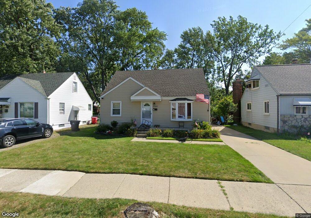
25280 Buick St Roseville, MI 48066
Estimated Value: $158,000 - $176,000
3
Beds
1
Bath
1,248
Sq Ft
$134/Sq Ft
Est. Value
About This Home
This home is located at 25280 Buick St, Roseville, MI 48066 and is currently estimated at $166,816, approximately $133 per square foot. 25280 Buick St is a home located in Macomb County with nearby schools including Dort Elementary School, Joseph G. Steenland Elementary School, and Fountain Elementary School.
Ownership History
Date
Name
Owned For
Owner Type
Purchase Details
Closed on
Oct 20, 2021
Sold by
Teipel Jerri D and Rand Jerri D
Bought by
Teipel Jerri D and Teipel William
Current Estimated Value
Home Financials for this Owner
Home Financials are based on the most recent Mortgage that was taken out on this home.
Original Mortgage
$88,500
Outstanding Balance
$68,068
Interest Rate
2.15%
Mortgage Type
New Conventional
Estimated Equity
$98,749
Purchase Details
Closed on
Oct 1, 2003
Sold by
Williams Thomas H and Williams Katherine L
Bought by
Rand Jon W and Rand Jerri D
Home Financials for this Owner
Home Financials are based on the most recent Mortgage that was taken out on this home.
Original Mortgage
$124,053
Interest Rate
5.91%
Mortgage Type
FHA
Purchase Details
Closed on
Feb 29, 1996
Sold by
Kramer B and Kramer D
Bought by
Williams T
Create a Home Valuation Report for This Property
The Home Valuation Report is an in-depth analysis detailing your home's value as well as a comparison with similar homes in the area
Home Values in the Area
Average Home Value in this Area
Purchase History
| Date | Buyer | Sale Price | Title Company |
|---|---|---|---|
| Teipel Jerri D | -- | None Available | |
| Rand Jon W | $126,000 | Title One Inc | |
| Williams T | $53,000 | -- |
Source: Public Records
Mortgage History
| Date | Status | Borrower | Loan Amount |
|---|---|---|---|
| Open | Teipel Jerri D | $88,500 | |
| Previous Owner | Rand Jon W | $124,053 |
Source: Public Records
Tax History Compared to Growth
Tax History
| Year | Tax Paid | Tax Assessment Tax Assessment Total Assessment is a certain percentage of the fair market value that is determined by local assessors to be the total taxable value of land and additions on the property. | Land | Improvement |
|---|---|---|---|---|
| 2025 | $1,959 | $77,600 | $0 | $0 |
| 2024 | $1,039 | $69,000 | $0 | $0 |
| 2023 | $997 | $61,900 | $0 | $0 |
| 2022 | $1,677 | $53,100 | $0 | $0 |
| 2021 | $1,629 | $45,700 | $0 | $0 |
| 2020 | $930 | $40,600 | $0 | $0 |
| 2019 | $1,429 | $36,800 | $0 | $0 |
| 2018 | $1,402 | $0 | $0 | $0 |
| 2017 | $1,308 | $31,145 | $6,661 | $24,484 |
| 2016 | $1,301 | $31,145 | $0 | $0 |
| 2015 | $839 | $26,421 | $0 | $0 |
| 2013 | -- | $25,087 | $0 | $0 |
| 2011 | -- | $34,123 | $0 | $0 |
Source: Public Records
Map
Nearby Homes
- 25270 Ford St
- 25289 Packard St
- 25673 Ford St
- 25110 Ford St
- 25323 Fern St
- 16244 E 10 Mile Rd
- 25294 Wiseman St
- 16097 Manchester Ave
- 25143 Fern St
- 16561 Capri Place
- 15738 Frazho Rd
- 15676 Frazho Rd
- 25239 Lehner St
- 25280 Dale St
- 16106 Chesterfield Ave
- 25825 Berkshire St
- 25135 Dale St
- 16656 Frazho Rd
- 24933 Grove Ave
- 25795 Groveland St