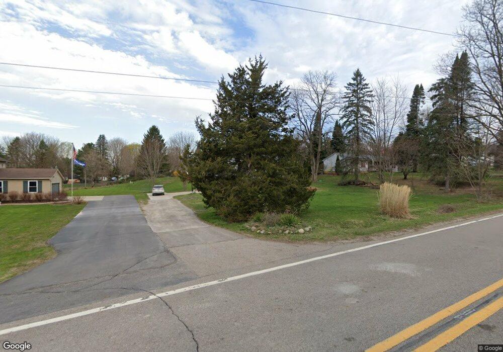
2529 Bullard Rd Hartland, MI 48353
Estimated Value: $303,360 - $353,000
3
Beds
2
Baths
1,632
Sq Ft
$201/Sq Ft
Est. Value
About This Home
This home is located at 2529 Bullard Rd, Hartland, MI 48353 and is currently estimated at $328,590, approximately $201 per square foot. 2529 Bullard Rd is a home located in Livingston County with nearby schools including Hartland High School, Charyl Stockwell Academy, and Our Savior Evangelical Lutheran School.
Ownership History
Date
Name
Owned For
Owner Type
Purchase Details
Closed on
Jun 13, 2013
Sold by
Allen Thomas G and Allen Sheryl L
Bought by
Schultz Steven E and Schultz Julie
Current Estimated Value
Purchase Details
Closed on
Jan 5, 2001
Sold by
Oman James M and Geimer Carol
Bought by
Oman James M
Home Financials for this Owner
Home Financials are based on the most recent Mortgage that was taken out on this home.
Original Mortgage
$126,000
Interest Rate
7.69%
Create a Home Valuation Report for This Property
The Home Valuation Report is an in-depth analysis detailing your home's value as well as a comparison with similar homes in the area
Home Values in the Area
Average Home Value in this Area
Purchase History
| Date | Buyer | Sale Price | Title Company |
|---|---|---|---|
| Schultz Steven E | $115,000 | -- | |
| Oman James M | -- | Landmark Title Services Inc |
Source: Public Records
Mortgage History
| Date | Status | Borrower | Loan Amount |
|---|---|---|---|
| Previous Owner | Oman James M | $126,000 |
Source: Public Records
Tax History Compared to Growth
Tax History
| Year | Tax Paid | Tax Assessment Tax Assessment Total Assessment is a certain percentage of the fair market value that is determined by local assessors to be the total taxable value of land and additions on the property. | Land | Improvement |
|---|---|---|---|---|
| 2025 | $2,176 | $119,500 | $0 | $0 |
| 2024 | $943 | $118,800 | $0 | $0 |
| 2023 | $902 | $102,700 | $0 | $0 |
| 2022 | $1,978 | $80,300 | $0 | $0 |
| 2021 | $1,898 | $90,600 | $0 | $0 |
| 2020 | $1,891 | $86,300 | $0 | $0 |
| 2019 | $1,771 | $80,300 | $0 | $0 |
| 2018 | $1,734 | $75,900 | $0 | $0 |
| 2017 | $1,704 | $75,900 | $0 | $0 |
| 2016 | $1,694 | $73,700 | $0 | $0 |
| 2014 | $2,483 | $59,700 | $0 | $0 |
| 2012 | $2,483 | $57,300 | $0 | $0 |
Source: Public Records
Map
Nearby Homes
- 12071 Highland Rd
- 2.03 Acres Highland Rd
- 2581 Pepper Ct
- 2933 Bullard Rd
- 11639 Island Ct
- 12002 Renfrew Ct
- 1560 Odette
- 1552 Odette
- 1441 Remsing St Unit 4
- NEC M-59 Fenton Rd
- 2255 Clark Rd
- V/L Highland Rd
- 12600 Hibner Rd
- 1020 Woods Edge Dr
- 13541 Austin Ct
- 10456 Viewtop Ct
- 000 Highland Rd
- 10484 Northvalley Ct Unit 14
- 1412 North Ct
- 1163 Long Lake Dr
- 2541 Bullard Rd
- 2517 Bullard Rd
- 2553 Bullard Rd
- 2530 Bullard Rd
- 12173 Country Side Dr
- 2542 Bullard Rd
- 2540 Sun Terrace Dr Unit Bldg-Unit
- 2540 Sun Terrace Dr
- 2567 Bullard Rd
- 2554 Sun Terrace Dr
- 2520 Sun Terrace Dr
- 2568 Sun Terrace
- 2554 Bullard Rd
- 2568 Sun Terrace Dr
- 2581 Bullard Rd
- 2566 Bullard Rd
- 12174 Country Side Dr
- 2578 Bullard Rd
- 2584 Sun Terrace
- 12160 Country Side Dr