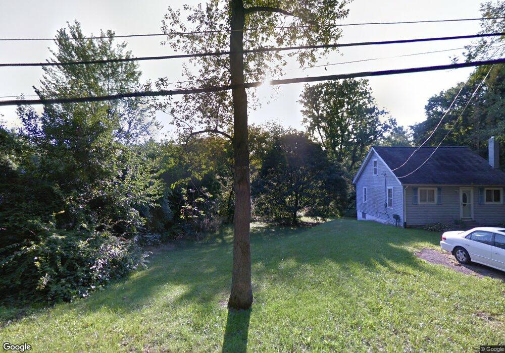
2529 Clark St Jackson, MI 49202
Estimated Value: $35,963 - $279,000
3
Beds
1
Bath
950
Sq Ft
$192/Sq Ft
Est. Value
About This Home
This home is located at 2529 Clark St, Jackson, MI 49202 and is currently estimated at $182,491, approximately $192 per square foot. 2529 Clark St is a home located in Jackson County with nearby schools including Northwest Early Elementary School, Northwest Elementary School, and Northwest Middle School.
Ownership History
Date
Name
Owned For
Owner Type
Purchase Details
Closed on
Aug 8, 2006
Sold by
Union Federal Bank Of Indianapolis
Bought by
Hud
Current Estimated Value
Purchase Details
Closed on
Jul 16, 2002
Sold by
Stover J R Neil Larry and Stover Deanna
Bought by
Furnas Mary L
Home Financials for this Owner
Home Financials are based on the most recent Mortgage that was taken out on this home.
Original Mortgage
$78,082
Interest Rate
6.79%
Mortgage Type
FHA
Purchase Details
Closed on
Jan 22, 1999
Sold by
Clark Jeffrey L and Clark Anita Lisa
Bought by
Stover J R Neil Larry
Home Financials for this Owner
Home Financials are based on the most recent Mortgage that was taken out on this home.
Original Mortgage
$61,750
Interest Rate
6.81%
Mortgage Type
Purchase Money Mortgage
Purchase Details
Closed on
Jul 1, 1995
Bought by
Clark
Create a Home Valuation Report for This Property
The Home Valuation Report is an in-depth analysis detailing your home's value as well as a comparison with similar homes in the area
Home Values in the Area
Average Home Value in this Area
Purchase History
| Date | Buyer | Sale Price | Title Company |
|---|---|---|---|
| Hud | -- | None Available | |
| Furnas Mary L | $78,700 | Midstate Title Company | |
| Stover J R Neil Larry | $65,000 | -- | |
| Clark | -- | -- |
Source: Public Records
Mortgage History
| Date | Status | Borrower | Loan Amount |
|---|---|---|---|
| Previous Owner | Furnas Mary L | $78,082 | |
| Previous Owner | Stover J R Neil Larry | $61,750 |
Source: Public Records
Tax History
| Year | Tax Paid | Tax Assessment Tax Assessment Total Assessment is a certain percentage of the fair market value that is determined by local assessors to be the total taxable value of land and additions on the property. | Land | Improvement |
|---|---|---|---|---|
| 2025 | $173 | $13,950 | $0 | $0 |
| 2024 | $1 | $13,050 | $0 | $0 |
| 2023 | $65 | $12,300 | $0 | $0 |
| 2022 | $149 | $3,700 | $0 | $0 |
| 2021 | $218 | $3,700 | $0 | $0 |
| 2020 | $217 | $3,700 | $0 | $0 |
| 2019 | $214 | $3,700 | $0 | $0 |
| 2018 | $202 | $3,700 | $0 | $0 |
| 2017 | $194 | $3,500 | $0 | $0 |
| 2016 | $141 | $3,548 | $3,548 | $0 |
| 2015 | $202 | $3,548 | $3,548 | $0 |
| 2014 | $202 | $3,548 | $3,548 | $0 |
| 2013 | -- | $3,548 | $3,548 | $0 |
Source: Public Records
Map
Nearby Homes
- 0 Shirley Dr Unit 24064060
- 550 Royal Dr
- 735 Royal Dr
- 520 Andrew Ave
- 2013 Cooper St
- 1417 Gerry Dr
- 951 W Monroe St
- 0 Lansing Ave Unit 26003476
- 0 Brookley Ave
- 431 Madison St
- 3335 Clinton Way
- 1105 Clinton Rd
- 1422 Cooper St
- 121 Frost St
- 3828 Idlewild St
- 1012 Lansing Ave
- 939 Backus St
- 1302 Cooper St
- VL 29 Clinton Way
- VL 69 Clinton Way
Your Personal Tour Guide
Ask me questions while you tour the home.