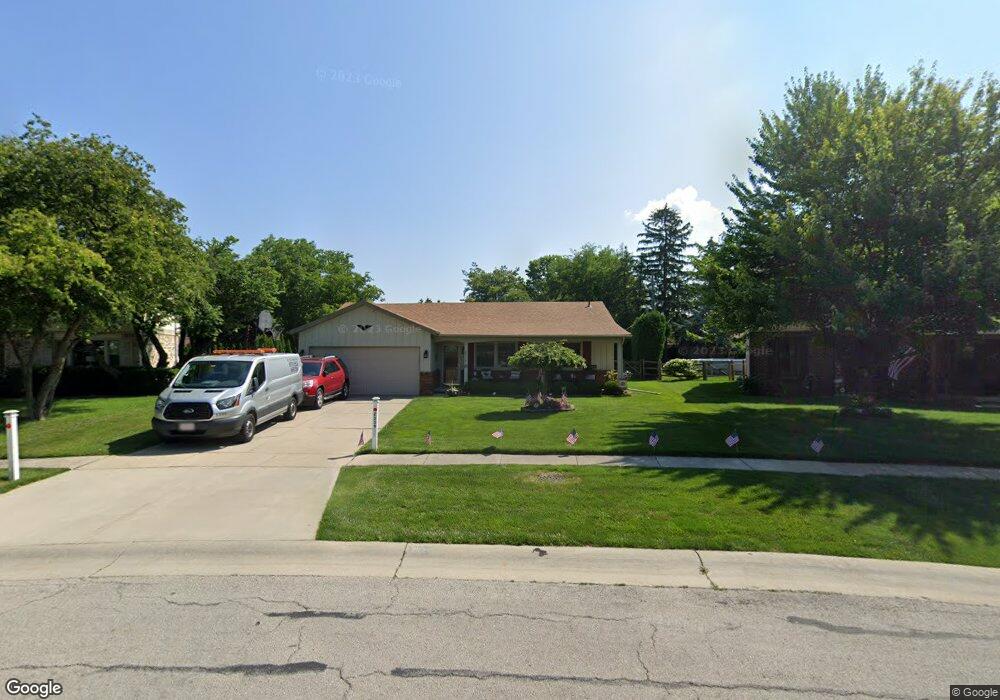
2529 Michael Ln Maumee, OH 43537
Estimated Value: $218,000 - $258,000
About This Home
This home is located at 2529 Michael Ln, Maumee, OH 43537 and is currently estimated at $243,100, approximately $165 per square foot. 2529 Michael Ln is a home located in Lucas County with nearby schools including Holloway Elementary School, Springfield Middle School, and Springfield High School.
Ownership History
We collect this data history from publicly available records. To have your information removed, we recommend requesting removal directly through your county’s website.
Purchase Details
Home Financials for this Owner
Home Financials are based on the most recent Mortgage that was taken out on this home.Purchase Details
Home Values in the Area
Average Home Value in this Area
Purchase History
We collect this data history from publicly available records. To have your information removed, we recommend requesting removal directly through your county’s website.
| Date | Buyer | Sale Price | Title Company |
|---|---|---|---|
| $105,000 | -- | ||
| -- | -- |
Mortgage History
We collect this data history from publicly available records. To have your information removed, we recommend requesting removal directly through your county’s website.
| Date | Status | Borrower | Loan Amount |
|---|---|---|---|
| Open | $89,250 |
Tax History
We collect this data history from publicly available records. To have your information removed, we recommend requesting removal directly through your county’s website.
| Year | Tax Paid | Tax Assessment Tax Assessment Total Assessment is a certain percentage of the fair market value that is determined by local assessors to be the total taxable value of land and additions on the property. | Land | Improvement |
|---|---|---|---|---|
| 2025 | -- | $61,950 | $20,020 | $41,930 |
| 2024 | $1,894 | $61,950 | $20,020 | $41,930 |
| 2023 | $4,018 | $57,610 | $17,885 | $39,725 |
| 2022 | $4,016 | $57,610 | $17,885 | $39,725 |
| 2021 | $3,779 | $57,610 | $17,885 | $39,725 |
| 2020 | $3,619 | $50,015 | $14,945 | $35,070 |
| 2019 | $3,535 | $50,015 | $14,945 | $35,070 |
| 2018 | $3,410 | $50,015 | $14,945 | $35,070 |
| 2017 | $3,314 | $43,680 | $14,945 | $28,735 |
| 2016 | $3,344 | $124,800 | $42,700 | $82,100 |
| 2015 | $3,338 | $124,800 | $42,700 | $82,100 |
| 2014 | $2,950 | $42,010 | $14,390 | $27,620 |
| 2013 | $2,950 | $42,010 | $14,390 | $27,620 |
Map
- 6652 Sue Ln
- 6537 Antoinette Ln
- 6715 Garden Rd
- 6727 Sue Ln
- 6727 Garden Rd
- 6435 Antoinette Ln
- 2338 Cedarwood Dr
- 2225 Longport Dr
- 6901 Heather Cove Place
- 2141 Kingston Dr
- 2432 Morningdew Blvd
- 2160 Queensdale Ct
- 6808 Hickory Hill Ct
- 7003 Shadowcreek Dr
- 2045 Perrysburg Holland Rd Unit 118
- 2956 Byrnwyck W
- 6640 Salisbury Rd Unit C110
- 7030 Hollywyck Rd
- 6840 Wexford Hill Ln
- 36 Wolfridge Dr
- 6620 Sue Ln
- 2545 Michael Ln
- 2540 Bonnie Ln
- 2544 Bonnie Ln
- 6626 Sue Ln
- 2551 Michael Ln
- 6548 Marie Ln
- 2548 Michael Ln
- 6611 Garden Rd Unit 6611
- 6609 Garden Rd
- 6605 Garden Rd Unit 6605
- 6603 Garden Rd Unit 6603
- 6613 Garden Rd Unit 6613
- 6615 Garden Rd Unit 6615
- 6519 Garden Rd
- 2559 Michael Ln
- 6632 Sue Ln
- 6517 Garden Rd
- 6515 Garden Rd Unit 6515
- 6513 Garden Rd
Ask me questions while you tour the home.