25290 Osborne Rd Columbia Station, OH 44028
Estimated Value: $466,000 - $697,187
3
Beds
3
Baths
2,927
Sq Ft
$187/Sq Ft
Est. Value
About This Home
This home is located at 25290 Osborne Rd, Columbia Station, OH 44028 and is currently estimated at $547,297, approximately $186 per square foot. 25290 Osborne Rd is a home located in Lorain County with nearby schools including Copopa Elementary School, Columbia Middle School, and Columbia High School.
Ownership History
Date
Name
Owned For
Owner Type
Purchase Details
Closed on
Apr 11, 2007
Sold by
Nunnari Carolyn
Bought by
Nunnari Scott and Nunnari Scott M
Current Estimated Value
Home Financials for this Owner
Home Financials are based on the most recent Mortgage that was taken out on this home.
Original Mortgage
$395,900
Outstanding Balance
$240,029
Interest Rate
6.2%
Mortgage Type
Purchase Money Mortgage
Estimated Equity
$307,268
Purchase Details
Closed on
Aug 27, 1999
Sold by
Hearth Corp
Bought by
Nunnari Scott and Nunnari Carolyn
Home Financials for this Owner
Home Financials are based on the most recent Mortgage that was taken out on this home.
Original Mortgage
$374,000
Interest Rate
7.61%
Purchase Details
Closed on
Nov 25, 1998
Sold by
Burr Cecil A and Burr Irma R
Bought by
Hearth Corp
Create a Home Valuation Report for This Property
The Home Valuation Report is an in-depth analysis detailing your home's value as well as a comparison with similar homes in the area
Home Values in the Area
Average Home Value in this Area
Purchase History
| Date | Buyer | Sale Price | Title Company |
|---|---|---|---|
| Nunnari Scott | $75,000 | Express Title Agency Ltd | |
| Nunnari Scott | $440,000 | Lorain County Title Co Inc | |
| Hearth Corp | $115,000 | -- |
Source: Public Records
Mortgage History
| Date | Status | Borrower | Loan Amount |
|---|---|---|---|
| Open | Nunnari Scott | $395,900 | |
| Previous Owner | Nunnari Scott | $374,000 |
Source: Public Records
Tax History Compared to Growth
Tax History
| Year | Tax Paid | Tax Assessment Tax Assessment Total Assessment is a certain percentage of the fair market value that is determined by local assessors to be the total taxable value of land and additions on the property. | Land | Improvement |
|---|---|---|---|---|
| 2024 | $9,367 | $215,740 | $36,337 | $179,403 |
| 2023 | $8,499 | $171,224 | $38,980 | $132,244 |
| 2022 | $8,292 | $171,224 | $38,980 | $132,244 |
| 2021 | $8,376 | $171,224 | $38,980 | $132,244 |
| 2020 | $8,095 | $148,510 | $33,810 | $114,700 |
| 2019 | $8,049 | $148,510 | $33,810 | $114,700 |
| 2018 | $8,990 | $148,510 | $33,810 | $114,700 |
| 2017 | $9,862 | $167,520 | $38,080 | $129,440 |
| 2016 | $9,934 | $167,520 | $38,080 | $129,440 |
| 2015 | $9,939 | $167,520 | $38,080 | $129,440 |
| 2014 | $7,266 | $145,670 | $33,110 | $112,560 |
| 2013 | $7,266 | $145,670 | $33,110 | $112,560 |
Source: Public Records
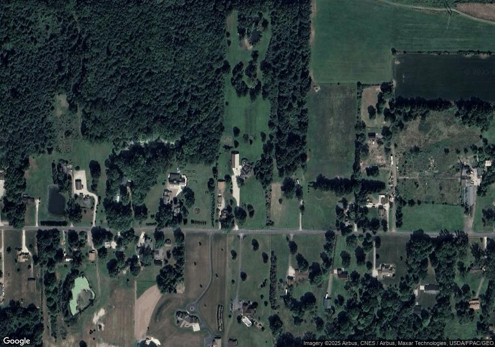
Map
Nearby Homes
- 11834 W River Rd
- 0 E River Rd Unit 5120285
- 31100 Blooming Ln
- 26645 Lake of the Falls Blvd
- 23663 Victory Ln
- Columbia Plan at Ashford Cove
- Anderson Plan at Ashford Cove
- Hudson Plan at Ashford Cove
- Ballenger Plan at Ashford Cove
- Lehigh Plan at Ashford Cove
- 27056 Sprague Rd
- 23855 W Rim Dr
- 1046 Ashford Ct
- 12857 Caribou Ct
- 26183 Raintree Blvd Unit C-10
- 26179 Raintree Blvd Unit D8
- 26609 N Park Blvd Unit 26609
- 10702 Winding Creek Chase
- 26523 Sussex Dr
- 24032 Edward Ln
- 25314 Osborne Rd
- 25246 Osborne Rd
- 25366 Osborne Rd
- 25178 Osborne Rd
- 25377 Osborne Rd
- 25225 Osborne Rd
- 25418 Osborne Rd
- 25393 Osborne Rd
- 25140 Osborne Rd
- 25199 Osborne Rd
- 25464 Osborne Rd
- 25153 Osborne Rd
- 25285 Osborne Rd
- 25441 Osborne Rd
- 25477 Osborne Rd
- 25500 Osborne Rd
- 25065 Osborne Rd
- 25525 Osborne Rd
- 11204 W River Rd
- 25554 Osborne Rd