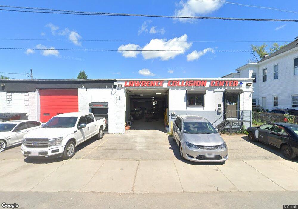
253 Erving Ave Lawrence, MA 01841
Arlington NeighborhoodEstimated Value: $501,519
Studio
2
Baths
5,985
Sq Ft
$84/Sq Ft
Est. Value
About This Home
This home is located at 253 Erving Ave, Lawrence, MA 01841 and is currently estimated at $501,519, approximately $83 per square foot. 253 Erving Ave is a home located in Essex County with nearby schools including John K Tarbox Elementary School, School For Exceptional Studies, and Blessed Stephen Bellesini O.S.A. Academy.
Ownership History
Date
Name
Owned For
Owner Type
Purchase Details
Closed on
Sep 30, 2020
Sold by
436 South Union Street Rt
Bought by
Max Vipul Realty Llc
Current Estimated Value
Purchase Details
Closed on
Jun 10, 2019
Sold by
Caboose Rt
Bought by
436 South Union Street Rt
Home Financials for this Owner
Home Financials are based on the most recent Mortgage that was taken out on this home.
Original Mortgage
$200,000
Interest Rate
4.2%
Mortgage Type
New Conventional
Purchase Details
Closed on
Aug 19, 1998
Sold by
Daigle Joseph R
Bought by
Caboose Rt
Create a Home Valuation Report for This Property
The Home Valuation Report is an in-depth analysis detailing your home's value as well as a comparison with similar homes in the area
Home Values in the Area
Average Home Value in this Area
Purchase History
| Date | Buyer | Sale Price | Title Company |
|---|---|---|---|
| Max Vipul Realty Llc | $360,000 | None Available | |
| 436 South Union Street Rt | $350,000 | -- | |
| Caboose Rt | $60,000 | -- |
Source: Public Records
Mortgage History
| Date | Status | Borrower | Loan Amount |
|---|---|---|---|
| Previous Owner | 436 South Union Street Rt | $200,000 |
Source: Public Records
Tax History
| Year | Tax Paid | Tax Assessment Tax Assessment Total Assessment is a certain percentage of the fair market value that is determined by local assessors to be the total taxable value of land and additions on the property. | Land | Improvement |
|---|---|---|---|---|
| 2025 | $9,385 | $509,800 | $213,100 | $296,700 |
| 2024 | $8,873 | $458,100 | $186,200 | $271,900 |
| 2023 | $8,593 | $406,500 | $155,200 | $251,300 |
| 2022 | $8,713 | $359,900 | $141,000 | $218,900 |
| 2021 | $8,785 | $332,900 | $122,700 | $210,200 |
| 2020 | $8,836 | $329,700 | $119,900 | $209,800 |
| 2019 | $8,125 | $279,500 | $106,100 | $173,400 |
| 2018 | $8,303 | $269,400 | $96,000 | $173,400 |
| 2017 | $8,408 | $250,300 | $89,300 | $161,000 |
| 2016 | $8,313 | $246,300 | $85,300 | $161,000 |
| 2015 | $7,988 | $246,300 | $85,300 | $161,000 |
Source: Public Records
Map
Nearby Homes
- 7-9 Bennington St
- 27 Willow St Unit A
- 434-438 Hampshire St
- 131A Lawrence St Unit 40
- 10 Holly St
- 324-326 Broadway
- 29-31 Washington St
- 36 Manchester St
- 129-131 Lexington St
- 179-181 West St
- 202 Broadway Unit 3-2
- 202 Broadway Unit 3-3
- 71-75 Common St
- 46 Amesbury St Unit 2B
- 11 Lawrence St Unit 606
- 42 Morton St
- 29 Center St
- 5 Kendrick St
- 91 Summer St Unit 2
- 192 Union St
- 15 Alma St Unit 17
- 237 Erving Ave Unit 239
- 14 Alma St Unit 16
- 24 Robinson Ct Unit 26
- 24-26 Robinson Ct Unit 1
- 24-26 Robinson Ct Unit 3
- 24-26 Robinson Ct
- 9 Myrtle Ct
- 30 Robinson Ct Unit 32
- 88 Myrtle St
- 94 Myrtle St
- 229 Erving Ave
- 27 Myrtle Ct
- 25 Robinson Ct Unit 27
- 25-27 Robinson Ct
- 29 Robinson Ct
- 98 Myrtle St
- 68 Myrtle St
- 31 Robinson Ct Unit 33
- 31-33 Robinson Ct
Your Personal Tour Guide
Ask me questions while you tour the home.