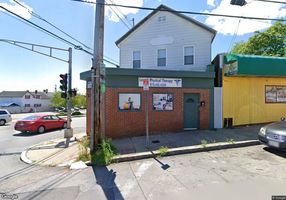
253 High St Unit 253 High Lowell, MA 01852
Lower Belvidere Neighborhood
2
Beds
1
Bath
1,000
Sq Ft
2,178
Sq Ft Lot
About This Home
This home is located at 253 High St Unit 253 High, Lowell, MA 01852. 253 High St Unit 253 High is a home located in Middlesex County with nearby schools including Moody Elementary School, Abraham Lincoln Elementary School, and Greenhalge Elementary School.
Ownership History
Date
Name
Owned For
Owner Type
Purchase Details
Closed on
Dec 8, 2006
Sold by
Deazevedo Raimundo J
Bought by
Shanley Patrick B
Home Financials for this Owner
Home Financials are based on the most recent Mortgage that was taken out on this home.
Original Mortgage
$252,000
Outstanding Balance
$151,416
Interest Rate
6.4%
Mortgage Type
Commercial
Purchase Details
Closed on
Jan 11, 2002
Sold by
Last Minute Rt and Harkins
Bought by
Capua John M
Home Financials for this Owner
Home Financials are based on the most recent Mortgage that was taken out on this home.
Original Mortgage
$134,000
Interest Rate
7.04%
Mortgage Type
Commercial
Create a Home Valuation Report for This Property
The Home Valuation Report is an in-depth analysis detailing your home's value as well as a comparison with similar homes in the area
Home Values in the Area
Average Home Value in this Area
Purchase History
| Date | Buyer | Sale Price | Title Company |
|---|---|---|---|
| Shanley Patrick B | $315,000 | -- | |
| Shanley Patrick B | $315,000 | -- | |
| Capua John M | $140,000 | -- | |
| Capua John M | $140,000 | -- |
Source: Public Records
Mortgage History
| Date | Status | Borrower | Loan Amount |
|---|---|---|---|
| Open | Shanley Patrick B | $252,000 | |
| Closed | Capua John M | $252,000 | |
| Previous Owner | Capua John M | $134,000 |
Source: Public Records
Tax History
| Year | Tax Paid | Tax Assessment Tax Assessment Total Assessment is a certain percentage of the fair market value that is determined by local assessors to be the total taxable value of land and additions on the property. | Land | Improvement |
|---|---|---|---|---|
| 2025 | $7,798 | $348,600 | $94,900 | $253,700 |
| 2024 | $7,751 | $333,100 | $90,400 | $242,700 |
| 2023 | $7,537 | $309,400 | $82,200 | $227,200 |
| 2022 | $0 | $302,800 | $82,200 | $220,600 |
| 2021 | $5,905 | $274,800 | $71,400 | $203,400 |
| 2020 | $6,786 | $253,500 | $71,400 | $182,100 |
| 2019 | $0 | $247,000 | $71,400 | $175,600 |
| 2018 | $5,426 | $228,600 | $68,000 | $160,600 |
| 2017 | -- | $222,200 | $68,000 | $154,200 |
| 2016 | -- | $215,800 | $68,000 | $147,800 |
| 2015 | -- | $215,800 | $68,000 | $147,800 |
| 2013 | $5,527 | $193,200 | $75,600 | $117,600 |
Source: Public Records
Map
Nearby Homes
- 66 Perry St
- 128 Warren St Unit 12
- 88 Perry St
- 39 Groves Ave
- 80 Rogers St Unit 204
- 8 Clarks Ct
- 234 Nesmith St Unit 8
- 11 Cottage St
- 17 Kearney Square Unit 201
- 17 Kearney Square Unit 205
- 44 Hanks St
- 250 Nesmith St Unit 5
- 250 Nesmith St Unit 11
- 200 Rogers St Unit 6
- 31 Merrill St
- 30 Market St Unit 7
- 23-33 Middle St Unit 6
- 23-33 Middle St Unit 11
- 254 Pleasant St
- 192 1st St
- 253 High St
- 255 High St
- 239 High St
- 98 Andover St
- 248 High St
- 271 High St
- 260 High St
- 273 High St
- 221 High St Unit 1 Left
- 221 High St Unit 2 Left
- 221 High St Unit 2 Right
- 221 High St Unit 1R
- 221 High St
- 221 High St Unit 1 Right
- 10 Pleasant St
- 7 Everett St
- 230 High St
- 222 High St
- 275 High St
- 140 Andover St